This glossary explains the key terms of underwater acoustic positioning and hydroacoustics: USBL, LBL, iLBL, responder beacon, pinger, transponder and more. Definitions are short, and each entry links to detailed articles and to the UCNL equipment whose specifications use the term. Navigation schemes as a whole are explained in Underwater Navigation: How USBL, LBL and iLBL Work, and system selection in USBL or LBL.
Quick index: positioning system (GANS) · positioning vs navigation · baseline · USBL · SBL · LBL · iLBL · VLBL · underwater GPS · responder beacon · transponder · pinger · USBL antenna · navigation buoy · navigation receiver · acoustic modem · hydrophone · AHRS · ROV · AUV · interrogation-response · slant range · azimuth · ranging method · TDOA · GNSS synchronization · code division · telecontrol and telemetry · georeferencing · speed of sound · sound speed profile · refraction and thermocline · multipath · attenuation · 2DRMS · source level · NMEA 0183
Systems and navigation schemes
Underwater acoustic positioning system (GANS)
A set of devices that determines the position of submerged objects from acoustic signals. In Russian the abbreviation GANS (hydroacoustic navigation system) covers both positioning systems, where a surface console computes the coordinate, and navigation systems, where the object computes it itself. The main schemes are USBL, SBL, LBL and iLBL.
Positioning vs navigation
Positioning tells an observer where an object is, and the coordinate is computed at the surface: this is how Zima2 and RWLT work. Navigation gives the coordinate to the object itself: a diver or a robot gets it from a RedNav or RedNode navigator of the RedWave system. Data can be passed between the two over a cable or an acoustic link.
Baseline
A segment between two reference points with a known relative position. Systems are divided into ultra-short, short and long baselines by the baseline size relative to the object's track, but the principle of operation also depends on who transmits and where the coordinates are computed. More in Types of navigation systems and their applications.
USBL (ultra-short baseline)
All receiving elements sit in one antenna, so the baseline is measured in centimeters. The station determines the direction and range to a responder beacon, so the error grows with distance: an angle of 1° corresponds to about 17 m at 1000 m. Examples: Zima2, uWave USBL. See What is USBL and how does it work.
SBL (short baseline)
Three or four hydrophones are spaced tens of meters apart along a vessel's hull or a platform, and the object's position is calculated from ranges to them. Accuracy is higher than with USBL, but the hydrophone positions must be tied precisely to the vessel and vessel motion must be accounted for. UCNL uses this scheme in its engineering support service for underwater operations.
LBL (long baseline)
Reference stations are hundreds of meters apart or more; they can be seabed-mounted (with calibration) or floating (buoys with GNSS). The position is computed from signal travel times, and inside the baseline accuracy depends little on the object's location. Examples: RWLT, RedWave. More in LBL in the navigation overview.
iLBL (inverted long baseline)
The reference buoys transmit, and the object only receives the signals and computes its coordinates from arrival-time differences. The number of objects is unlimited. Example: RedWave. More in iLBL in the navigation overview. The abbreviation iLBL is sometimes used for a surface receiving baseline of buoys as well, so it is safer to look at the roles of the scheme's elements.
VLBL (virtual long baseline)
A single moving point, for example a boat with GNSS and a modem, measures ranges to a stationary beacon from different places, and the series of measurements works like a spread-out baseline. Two modems are enough. A write-up: Underwater "GPS" with two transceivers.
Underwater GPS
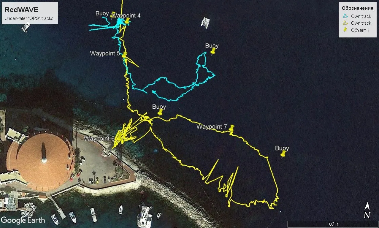
An informal name for an inverted long baseline in which relay buoys play the role of satellites and the receiver outputs coordinates using the protocol of an ordinary GNSS receiver. In the UCNL lineup this is RedWave. How it was tested in practice: Underwater GPS on a remotely operated vehicle.
Devices and equipment
Responder beacon
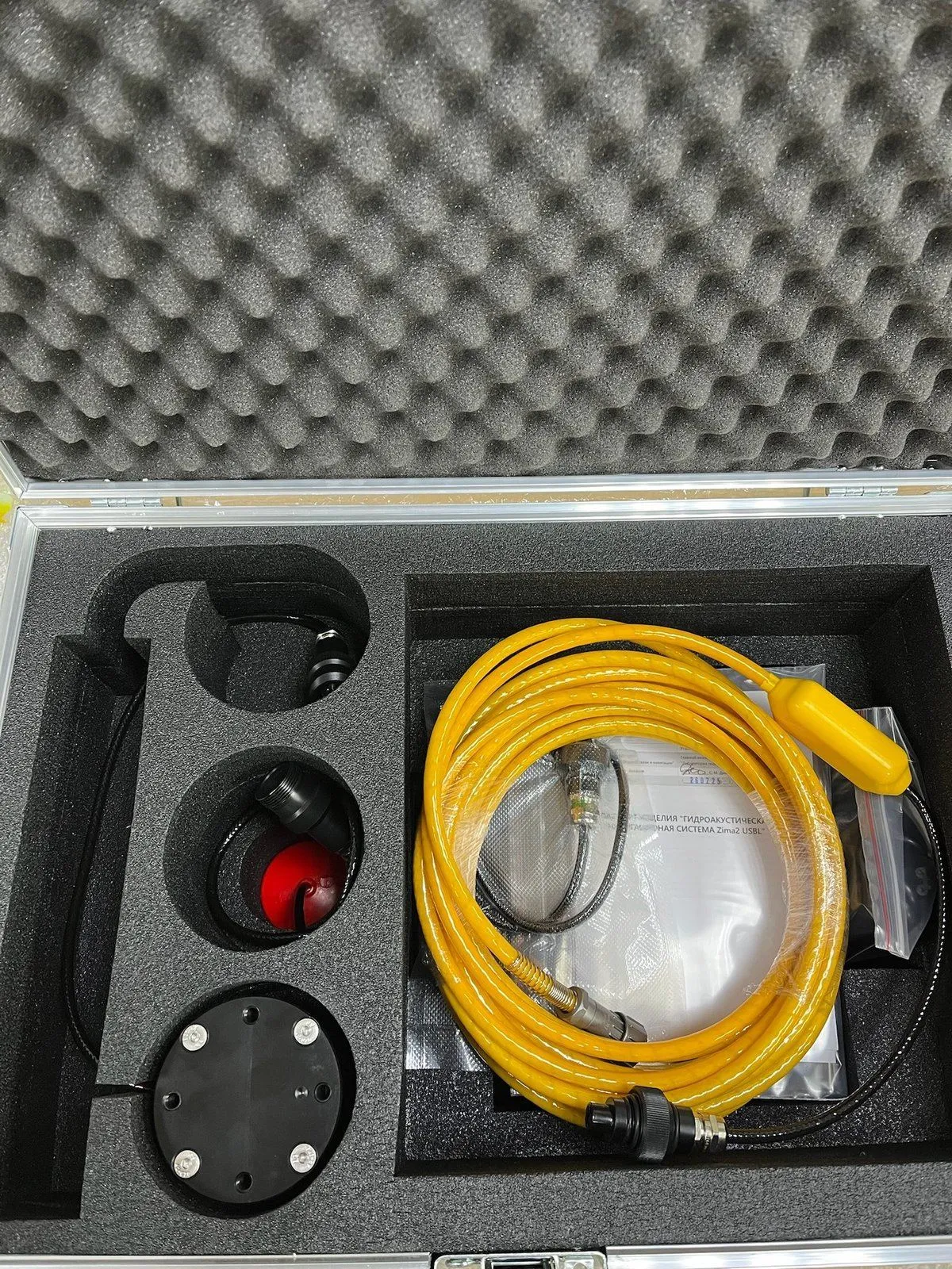
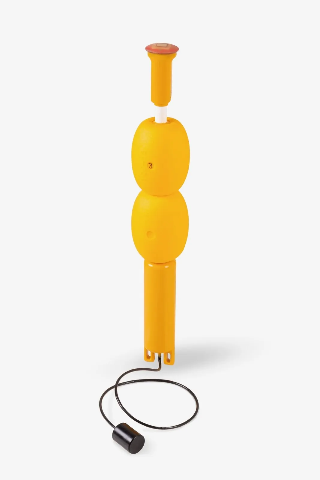
A device on the underwater object that receives a USBL station's interrogation and replies after a known delay; range and direction are measured from the reply. The Zima2-R (64 × 62 mm, 0.3 kg, up to 16 addresses) can be standalone with a battery pack or powered by the carrier, and it transmits depth from a built-in pressure sensor. Synonyms: transponder, responder.
Transponder
From transmitter and responder: a device that sends an acoustic reply to a received interrogation. In LBL the term denotes the reference seabed beacons, and in USBL it is often used as a synonym for a responder beacon. Not to be confused with a pinger, which transmits without being interrogated.
Pinger
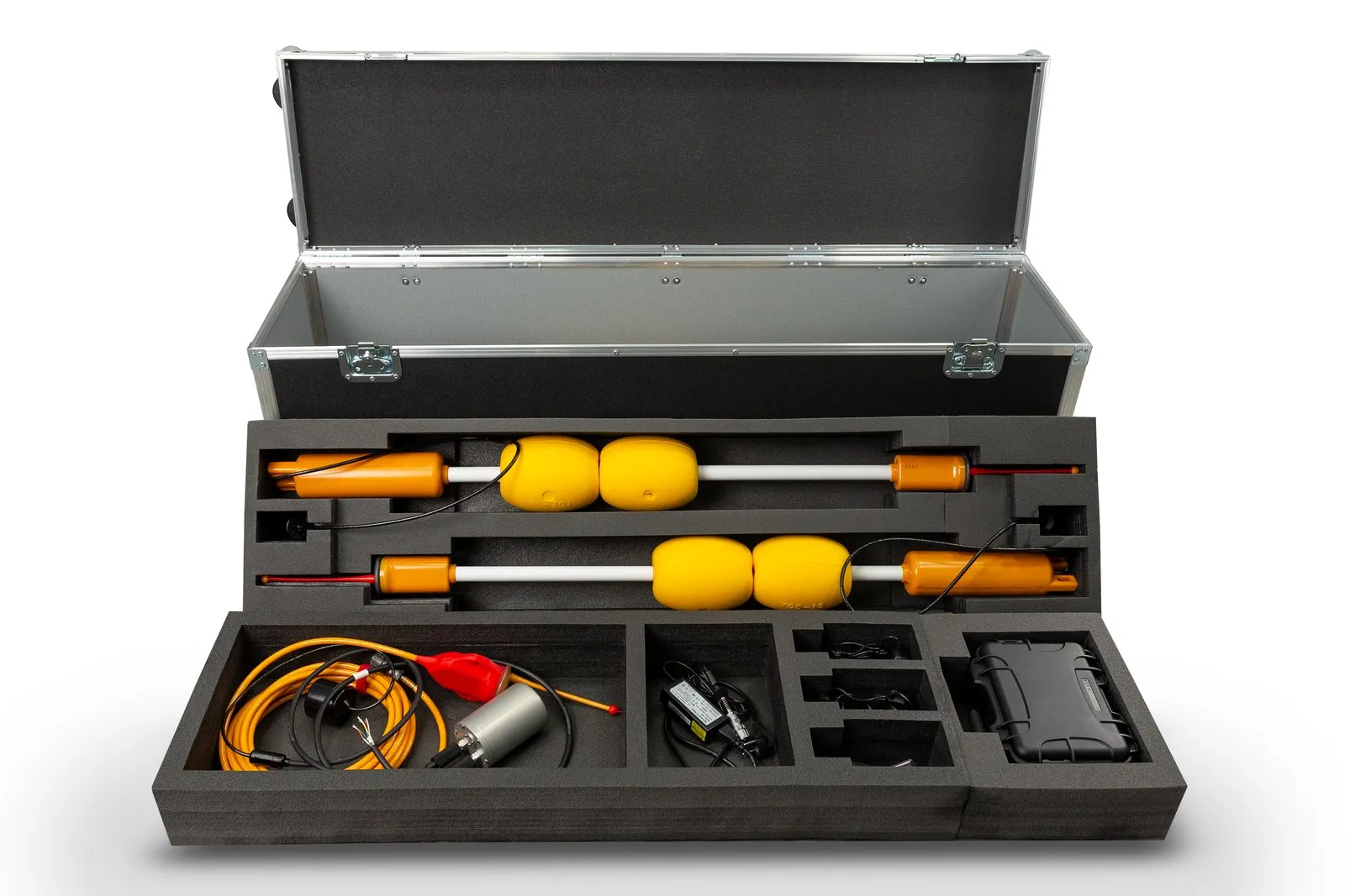
A beacon that transmits a navigation signal on its own timer and does not wait for an interrogation. It is used in LBL with a receiving baseline: buoys receive the signal and the position is computed at the console. The RWLT Pinger transmits every 2 s, switches on automatically in water, runs for up to 10 hours and transmits depth, temperature and supply voltage.
USBL antenna (direction-finding station)
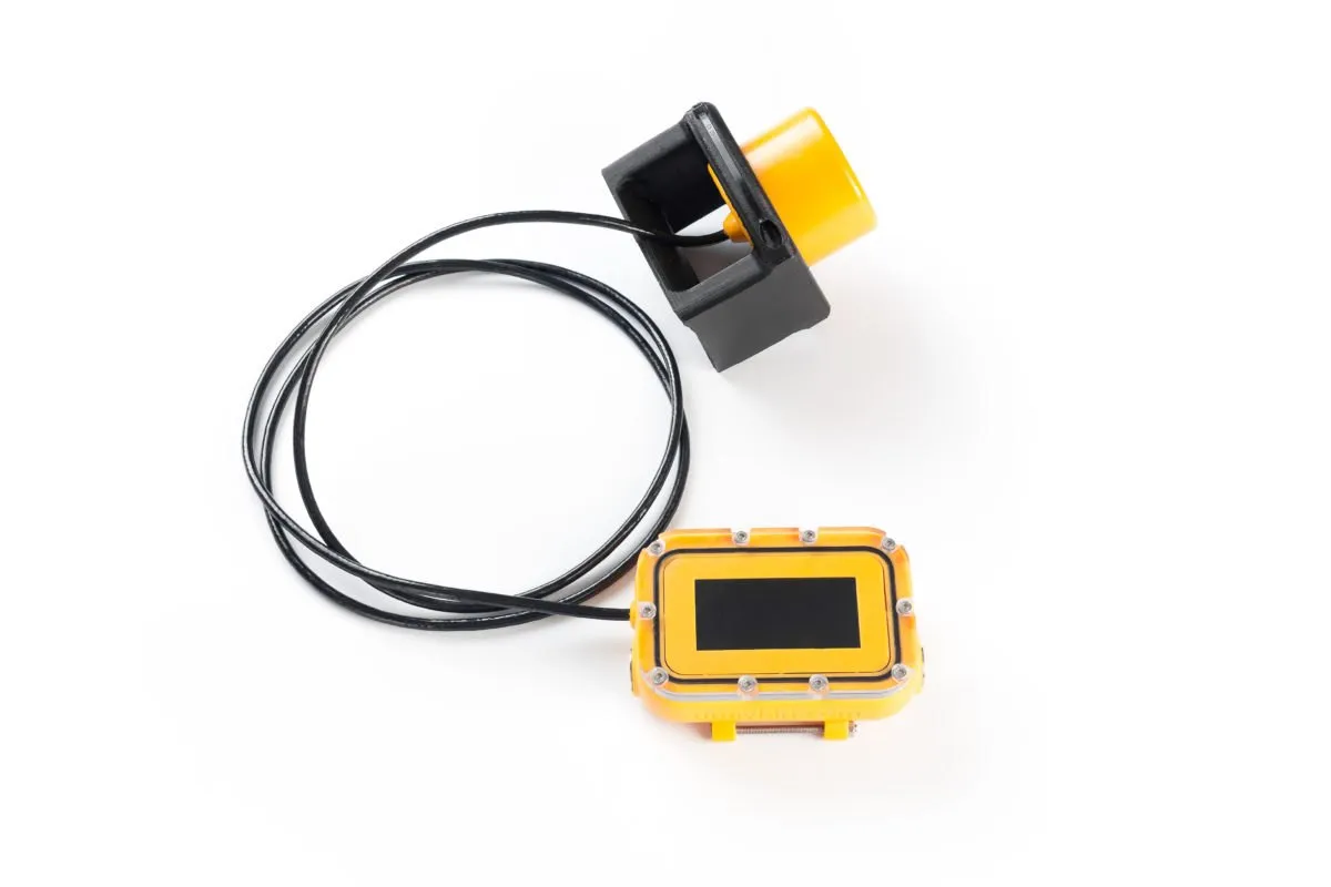
The USBL station: a housing with an array of receiving elements and a transmitter that determines the direction to a beacon from the difference in arrival times (phases) of the signal. The Zima2-B measures 64 × 128 mm, weighs 0.44 kg, has a nominal horizontal angle accuracy of 1° and a built-in inclinometer. Heading is supplied by an external compass or an attitude and heading system.
Navigation buoy (GIB)
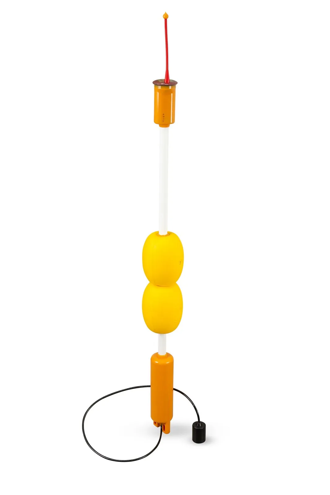
A floating device with a GNSS receiver and an acoustic unit, serving as a reference point of a surface baseline. Four buoys form the baseline. In RedWave the RedBase buoys transmit the signals; in RWLT the RWLT GIB buoys receive the pinger signal. The abbreviation GIB appears in the names RWLT GIB and WAYU GIB.
Navigation receiver
A passive iLBL device: it receives the buoy signals, computes the position and outputs it over NMEA 0183. The RedNode is intended for robots (64 × 62 mm, 0.3 kg, depth up to 300 m), and the RedNav for divers (depth up to 70 m, 8 hours of battery life).
Acoustic modem
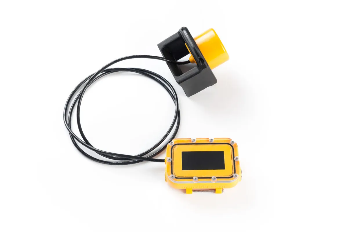
A device that transmits data by sound. The uWave and uWave Max modems also measure signal propagation time, that is, the range to the counterpart, and the uWave USBL additionally determines the angle. On the history of the development: The world's smallest hydroacoustic modem.
Hydrophone
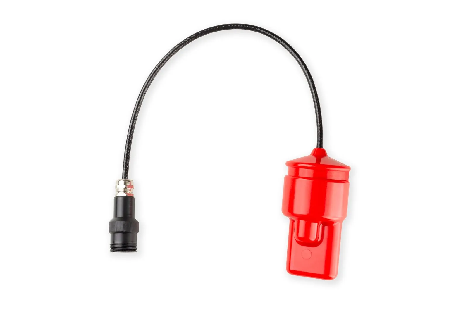
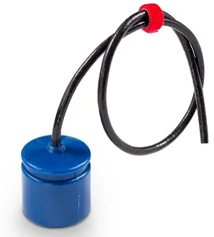
A receiving transducer for underwater sound, most often based on a piezoelectric element. Several hydrophones form an antenna array, from which the direction to a source is determined. How to build a simple hydrophone: an article on Habr (in Russian).
Attitude and heading reference system (AHRS, INS)
A sensor that measures heading, roll and pitch. A USBL station needs it to convert the bearing to a beacon into geographic coordinates. In the Zima2-B the inclinometer is built in and compensates tilt of up to ±30°, while heading comes from an external compass or an attitude and heading system.
ROV (remotely operated vehicle)
An underwater robot controlled by an operator through a tether. The tether also serves as a communication channel, so an ROV beacon is most often positioned by a USBL system. Example: an ROV quay inspection with Zima2.
AUV (autonomous underwater vehicle)
A vehicle that follows a preset program without a tether, so it needs its coordinate on board. Acoustic measurements are usually supplemented with inertial navigation and a Doppler velocity log (DVL).
Measurement methods
Interrogation-response (two-way ranging)
A ranging method: a device transmits an interrogation, the responder replies after a known delay, and the range equals half the product of the speed of sound and the round-trip time minus the reply delay. Clock synchronization is not needed, but two successful receptions are required, and several beacons are interrogated in turn.
Slant range
The straight-line distance from the antenna to the beacon. Together with the depth difference and the azimuth, it gives the horizontal coordinates. The Zima2-B has a slant range resolution of 0.15 m and a nominal accuracy of 0.1 %.
Azimuth (horizontal angle of arrival)
The direction to a source in the horizontal plane. The nominal accuracy is 1° for the Zima2-B and 2° for the uWave USBL (the latter obtained in a static laboratory experiment without multipath). Angular error turns into linear error in proportion to range.
Ranging method (trilateration)
The position is found from distances to several reference points as the intersection of spheres. Distances are obtained by interrogation-response or from absolute propagation times with synchronized clocks. A three-dimensional solution needs at least three points; if the depth is known, the task reduces to two dimensions.
TDOA (time difference of arrival)
Multilateration: the differences in arrival times of signals from different sources are used. Each difference defines a hyperboloid, and the position lies at their intersection. GNSS and RedWave work this way; the emission moment need not be known, but the transmitters must be synchronized.
GNSS synchronization
Tying the clocks of reference stations to satellite time. Without it the clocks drift: by the estimate in our article, even good quartz oscillators drift about 7 ms in 1.5 to 2 hours, which gives about 10 m of range error. More in the (Russian) article The most complete classification of underwater navigation systems.
Code division of users
Several devices share one acoustic channel using different code sequences as addresses. For Zima2 this means up to 16 beacons, and for uWave modems 20 code channels.
Telecontrol and telemetry
Telecontrol is sending short commands to an underwater object, and telemetry is receiving data from it. Zima2 sends up to 32 commands to a beacon integrated with the carrier, and the beacons transmit depth, temperature and supply voltage.
Georeferencing
Tying the position of an underwater object to geographic coordinates and maps. It is a key task in underwater construction, cartography and archaeology. RedWave provides coordinates in the WGS-84 system.
Environment and errors
Speed of sound
About 1500 m/s, in reality 1450 to 1550 m/s depending on temperature, salinity and pressure. A timing error of 1 ms means a range error of 1.5 m. The user sets water salinity, which affects both the speed of sound and the conversion of pressure to depth.
Sound speed profile (SSP)
The dependence of the speed of sound on depth. It is measured with a profiler (a CTD probe) and is used to calculate ray paths and corrections. What rays and shadow zones look like: Where do sound rays go underwater? (in Russian).
Refraction and thermocline
The bending of sound rays at layers with different speeds of sound. In a thermocline, a layer of sharp temperature change, rays bend and shadow zones appear where the signal is weaker. Because of this the real communication range can be much shorter than the nominal one.
Multipath
Reception of several copies of a signal that traveled different ways: directly, and with reflections from the seabed, the surface and structures. In shallow water the reflected signal can be stronger than the direct one, which gives a false bearing in USBL and timing errors. Wideband signals and error-correcting coding help.
Attenuation and carrier frequency
Sound weakens with distance, and the higher the frequency, the stronger it weakens. By the rough estimate in our article Why does sound attenuate in water? (in Russian), communication reaches about 8 km at 10 kHz and about 3 km at 20 kHz. Zima2, uWave and RWLT operate on a carrier of about 20 kHz.
2DRMS
A measure of horizontal accuracy: twice the root-mean-square radial error, which usually covers 95 to 98 % of measurements. For RedWave and RWLT the nominal value is 2DRMS 0.84 m (for RedWave it was obtained from 60 minutes of measurements in a real water body with stationary buoys and receiver).
Source level (dB re 1 µPa @ 1 m)
The sound pressure at a distance of 1 m from a transmitter, expressed in decibels relative to 1 micropascal. Data sheets give the maximum value: 170 dB for the Zima2-B and Zima2-R, 175 dB for the uWave USBL.
NMEA 0183
A text protocol for GNSS receivers and marine electronics. The RedNode emulates a GNSS receiver (RMC, GGA and WTW sentences), Zima2 uses its own PAZM sentences, and uWave modems use PUWV sentences. How to parse NMEA in your own code: Parsing NMEA0183 well (in Russian).
UCNL equipment for this task
- Zima2: USBL with Zima2-R responder beacons and the Zima2-B station.
- RedWave: iLBL "underwater GPS", RedBase buoys, RedNode and RedNav receivers.
- RWLT: LBL with RWLT GIB buoys and the RWLT Pinger, compatible with RedPhone-DX.
- uWave USBL: a modem with USBL navigation.
- The Navigation section and the system comparison table in the documentation.