Underwater construction
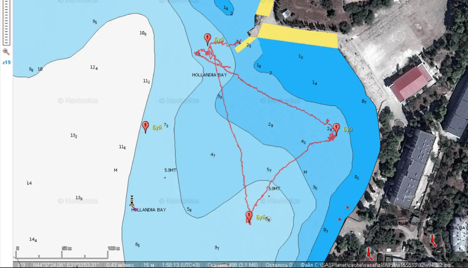
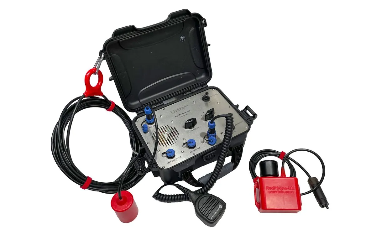
On land, a site is easy to survey with a theodolite and specialized GPS-based equipment; underwater, precise site referencing was not possible until recently. Now our underwater GPS system, RedWave, makes it possible, almost the same way as on land. Determining position in absolute geographic coordinates allows more precise site referencing and lets you track the position of various objects during underwater construction, with the option of overlaying the data on maps and satellite imagery. Coordinating the work with our RedPhone system, which provides wireless underwater voice communication, speeds up the workflow as much as possible and improves work safety.
Search operations
Now, thanks to the RedWave system, you can plan a search route in advance, a different one for each search group — whether divers or remotely operated vehicles — and run all the groups in the same area at the same time, cutting search time significantly; in a rescue operation, time can mean the difference for a human life. With RedNav diver navigation receivers, you can mark points of interest and come back to them next time, continuing the search right from where you left off. Working in absolute geographic coordinates makes it easier than ever to coordinate search groups and make the best decisions, based on the most accurate and up-to-date information. For voice coordination between search groups and individual divers and the surface dive-monitoring station, we offer the RedPhone wireless underwater voice communication system.
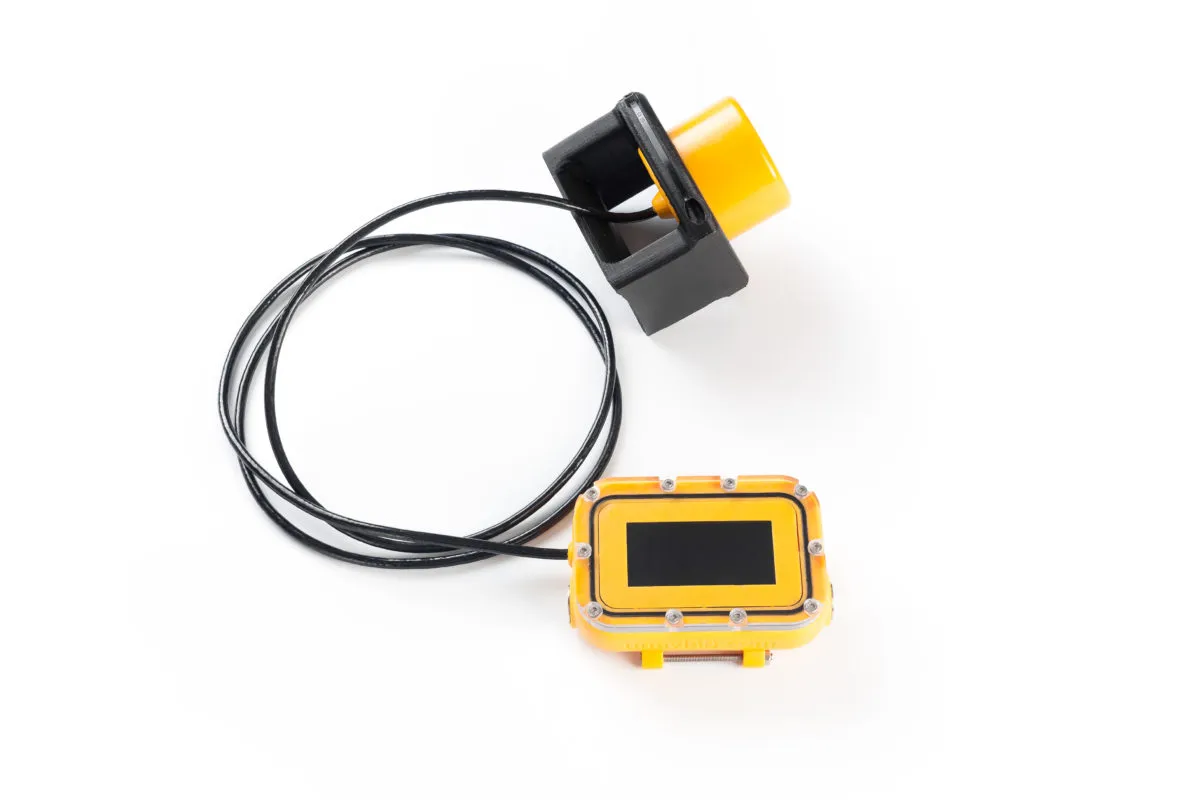
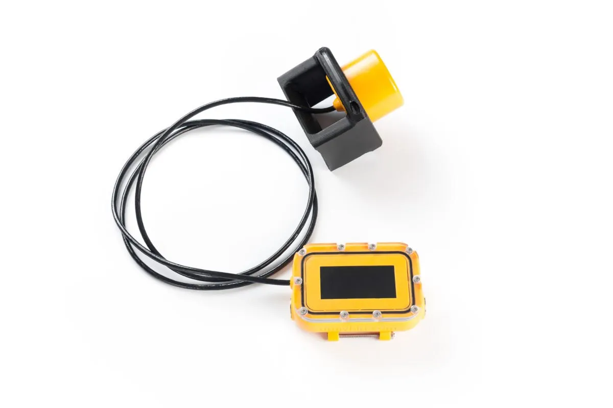
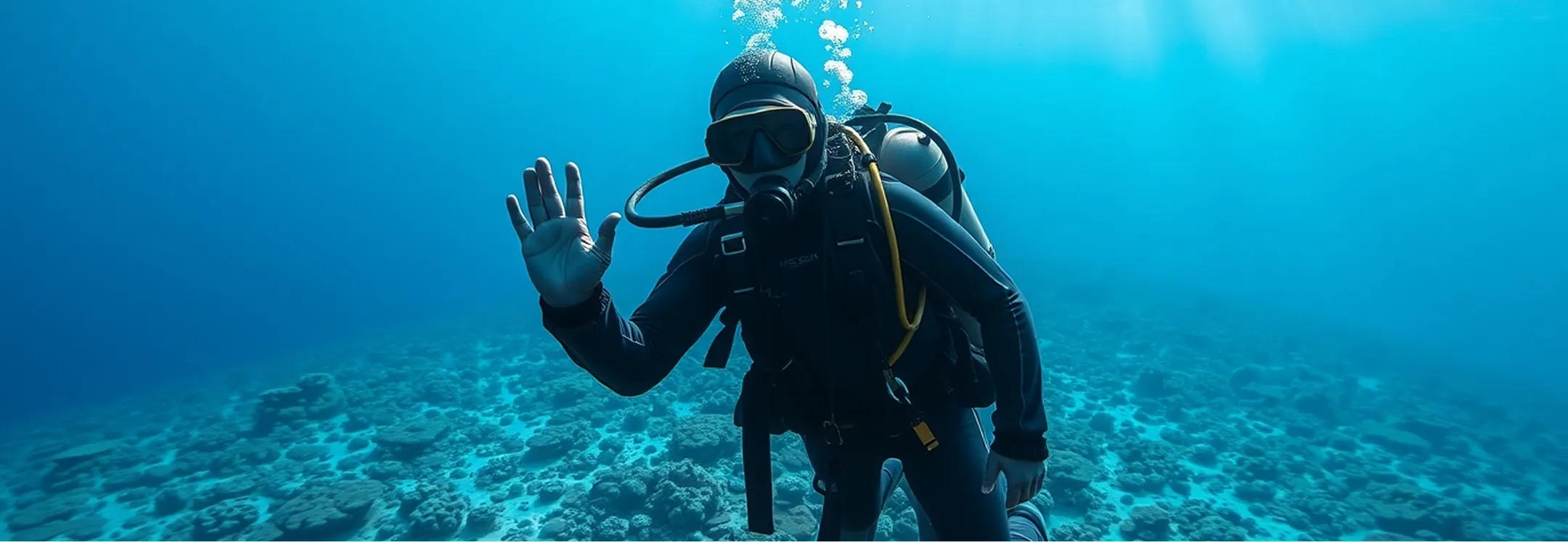
The Vostok diver homing system makes the diver's job much easier: it points toward a homing beacon, letting the diver return to the drop-off point and/or the support vessel without surfacing. A portable homing beacon is placed at the point the diver needs to return to, after which an unlimited number of divers can determine the direction and distance to it at the same time. It can also broadcast a common alert to all diver units at once. The Vostok system makes search operations more efficient, including operations carried out by several divers at the same time.
Underwater cartography
Cartography is a field where precise site referencing is absolutely essential. Underwater, there is no way to do aerial photography, obtain satellite imagery of the underwater terrain, or use geodetic GPS systems. We provide a unique way to obtain absolute geographic coordinates underwater, simultaneously, for an unlimited number of devices in the same body of water.
Underwater cartography is closely tied to underwater archaeology, marine biology, and geology, and all of these fields require precise geographic positioning of underwater objects. Today this is possible with our RedWave system.
Positioning objects in engineered tanks and basins
Acoustic systems face special conditions in engineered tanks and basins. Their volume is usually far smaller than that of natural water bodies, and their walls and structures are made of concrete or steel — materials with very low acoustic absorption. The size and geometry of such tanks produce a multipath propagation pattern that differs substantially from that in lakes, rivers, and seas. We are currently field-testing a unique system designed for precise object positioning under these special conditions found in engineered basins and tanks. Examples of such water bodies include various canals, settling ponds, and storage ponds for radioactive, chemical, or other hazardous waste, where divers cannot be present by definition and all work must be done remotely with robots. In the very near future, we will give users the ability to solve underwater navigation tasks under these demanding conditions.
Control of underwater devices
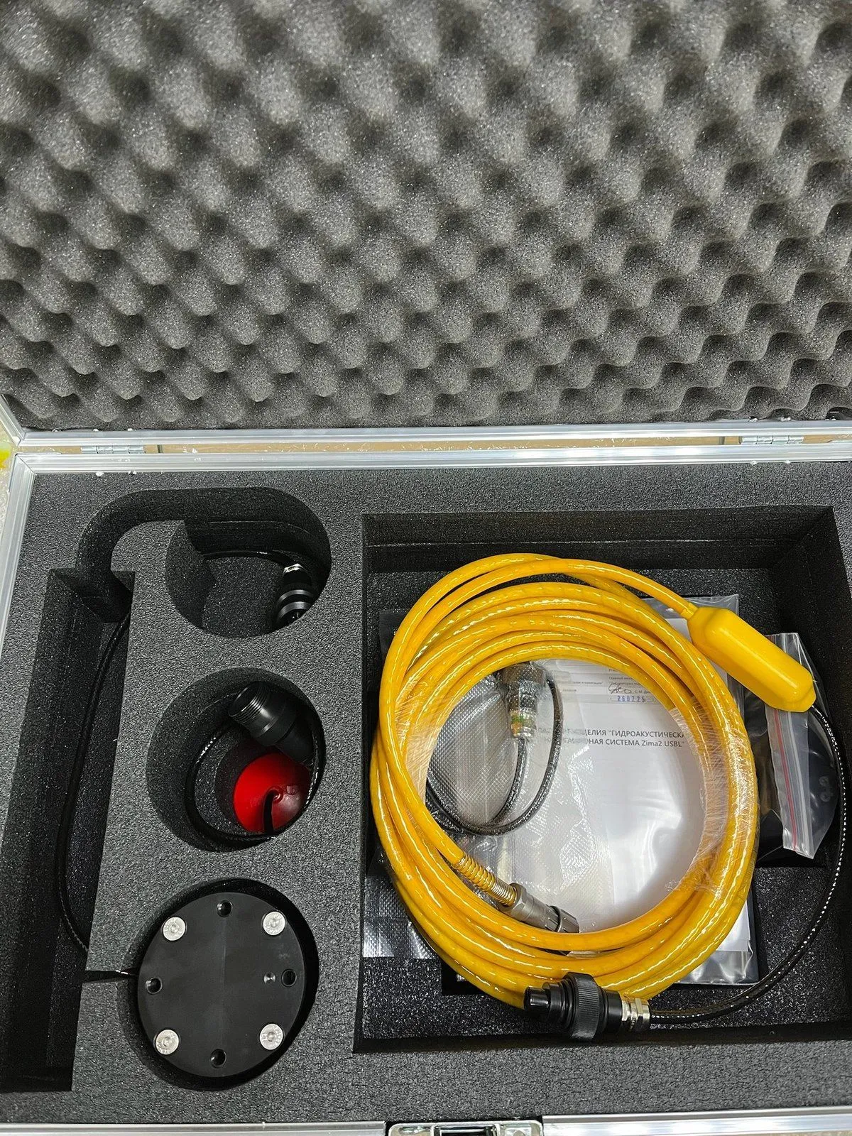
We give users a very broad range of options for sending telecontrol commands to various underwater objects. The Zima2 system's responder-beacons support a data link with the carrier (ROV/AUV), which makes it possible to send up to 32 addressed control commands and to transmit telemetry data from the carrier.
If the task does not require positioning, we are happy to recommend the RedGTR code modems, which can send up to 64 short coded messages across a network of up to 20 nodes.
Our advanced, one-of-a-kind Internet of Underwater Things system, built on the proprietary Hadean protocol, can serve up to 256 dynamically addressed network nodes transmitting telemetry and user data, up to 250 four-command actuator-control nodes, and up to 49 twenty-command actuator-control nodes. Both types of actuator-control nodes support broadcast commands. The system provides internet access to the underwater sensor network and positions every node in the network with the support of floating dual-medium access points.
More on each area: AUVs and ROVs, search and rescue, diving operations, education and research.