RWLT Pinger – responder beacon of the RWLT system

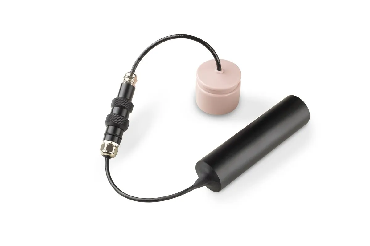
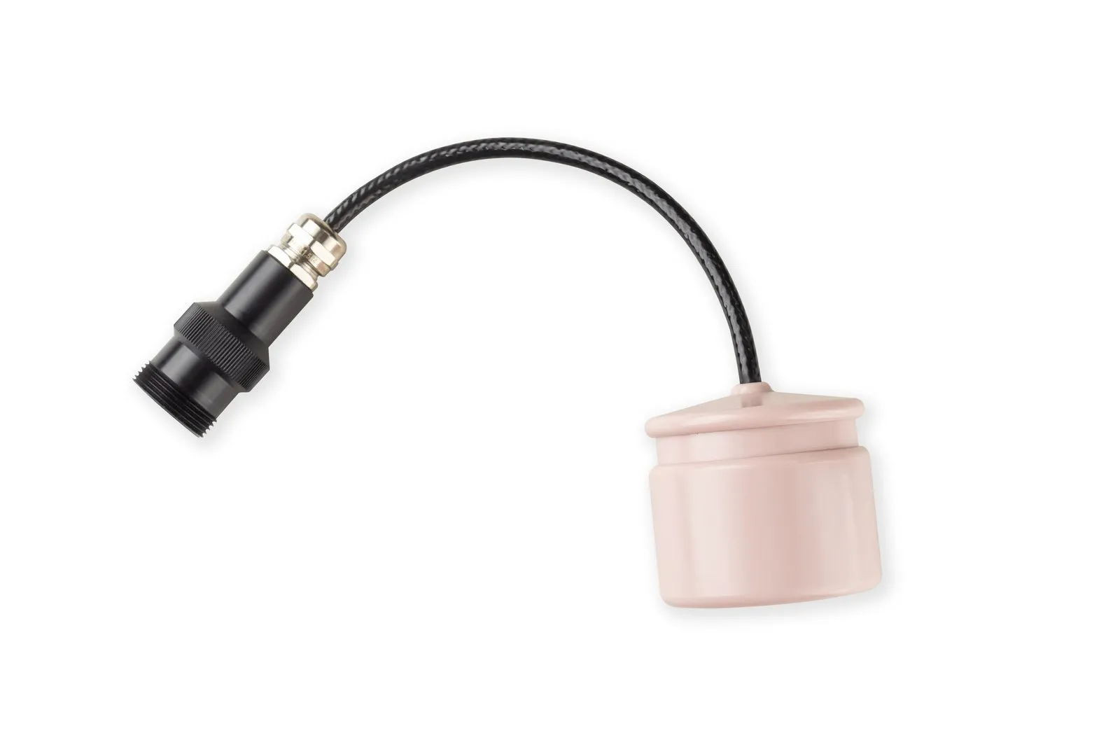
RWLT Pinger
The RWLT Pinger navigation beacon of the RWLT system is mounted on the positioned object — a ROV, AUV, diver or other underwater platform — and emits a periodic navigation signal received by four floating RWLT GIB buoys. The signal is used to determine the pinger's geographic position, while telemetry transmitted alongside the navigation signal shows its depth, water temperature and battery voltage.
The pinger requires no integration with the carrier — to get started, simply attach it to the underwater object. The device switches on automatically when submerged in water.
Compact: housing diameter and height — 41×45 mm, weight without the battery pack — 0.16 kg (about 0.91 kg complete with the standard SB-24-48-LF battery pack, according to the source materials). Battery life — up to 10 hours, working depth — from 0.5 to 300 m.
Applications
Use the pinger wherever the position of an underwater object has to be visible at the surface: when operating a remotely operated or autonomous vehicle, when tracking a diver, or when guiding a vehicle back to the surface control point. The position is updated every two seconds, and the coordinate is calculated at the surface and stays on the surface console.
Compatibility and system composition
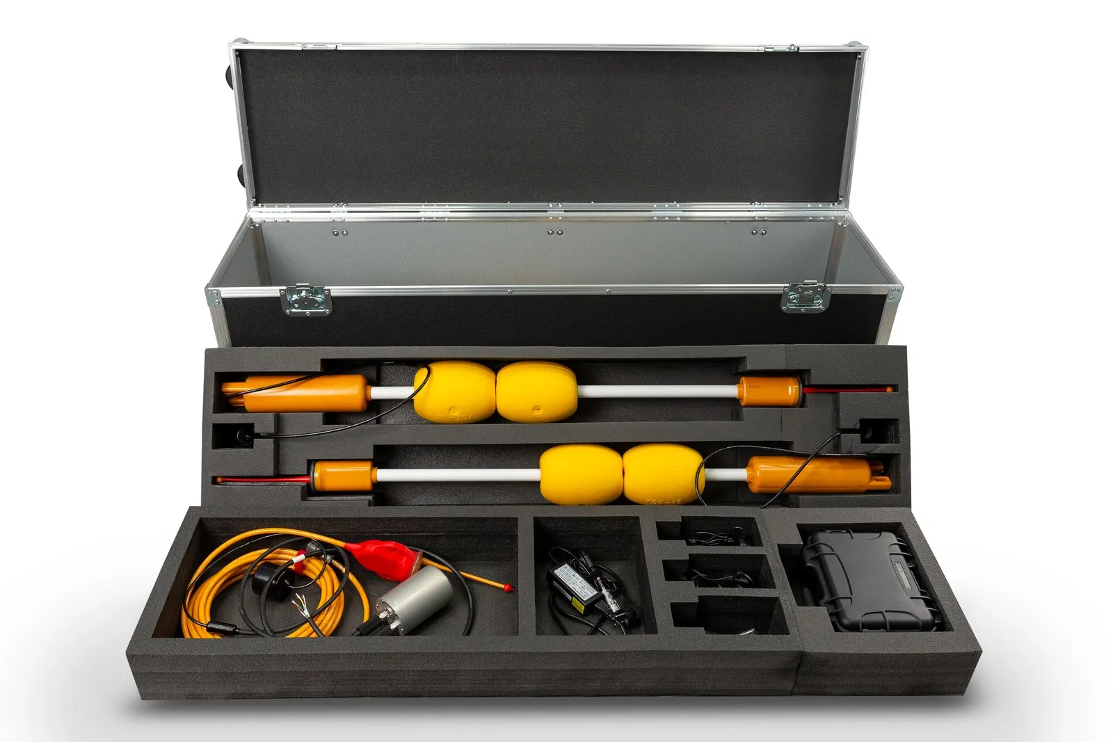
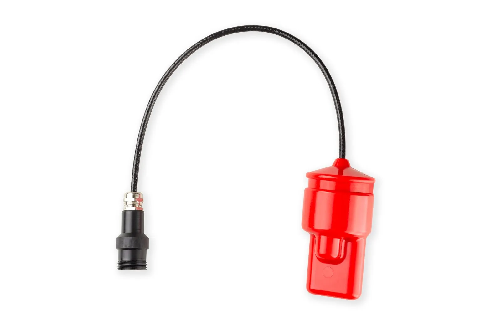
The pinger is the transmitting part of the RWLT navigation system: you also need four RWLT GIB buoys and the uNav RWLT RF Dongle radio receiver. The receiver emulates the protocol of ordinary GNSS receivers, so the pinger's position can be shown on any chartplotter that supports NMEA0183 RMC and GGA messages, or in Google Earth and SAS.Planet. If a diver also needs voice communication, the system uses the RedPhone-DX station instead of the pinger. The pinger is powered by an SB-24-48-LF battery pack from the uBat range, and the uClamp-S bracket is suitable for mounting it on a flat flange. For depths of up to 1000 m, the documentation describes the RWLT Pinger-K version, which is powered by the carrier.
Documentation
The RWLT data brief, user manual and uNav application manual are available on docs.unavlab.com.
- Requires no integration — only mechanical attachment to the positioned object
- Maximum ease of maintenance
- Automatic activation in water
- Minimal dimensions and weight
- Relays telemetry — depth, water temperature and battery voltage
- Operates at depths of up to 300 m, with an acoustic communication range of up to 1500 m
Want access to detailed technical documentation for the device?
Documentation

Submit a request