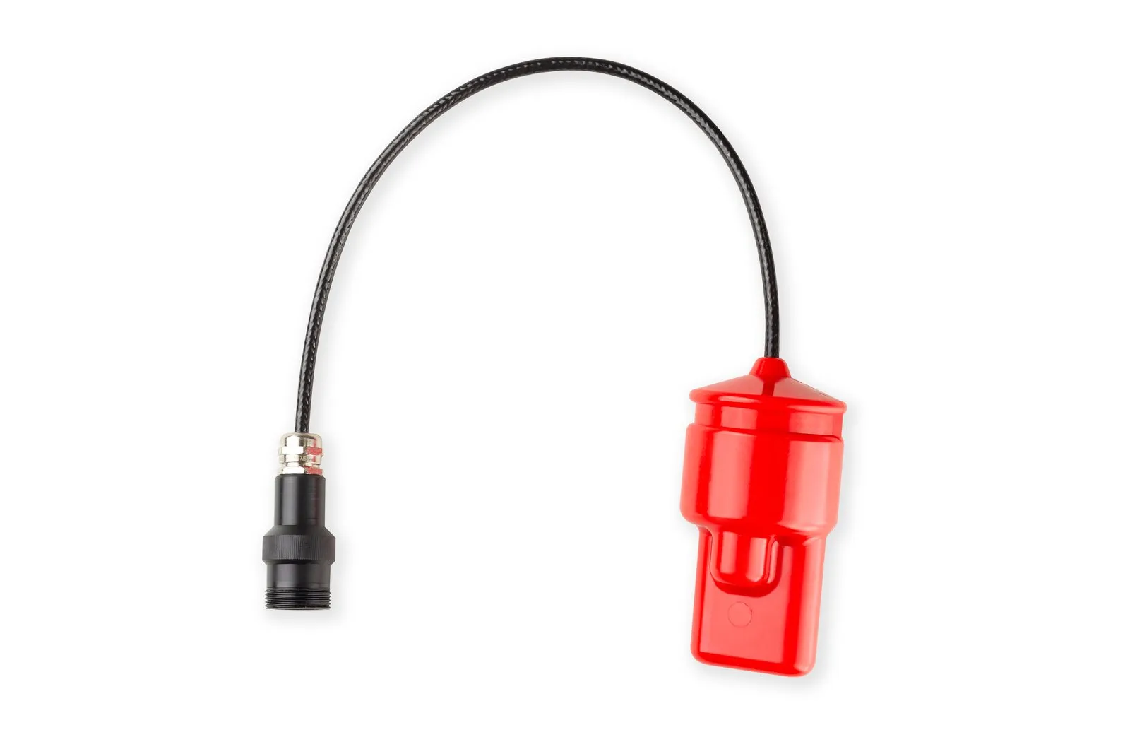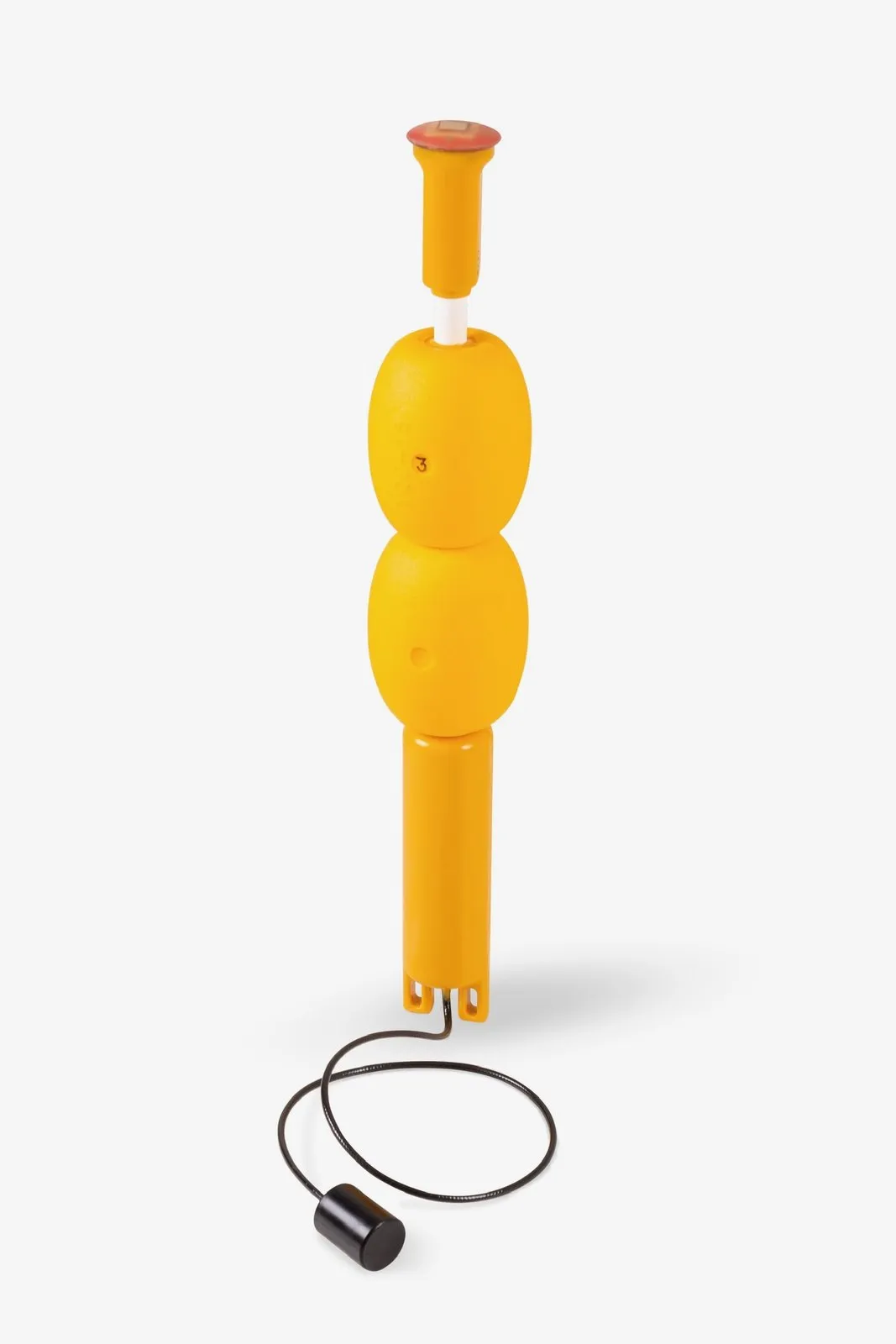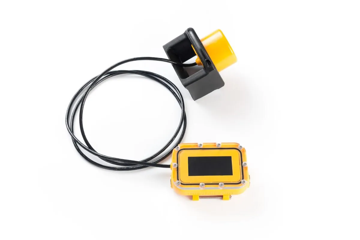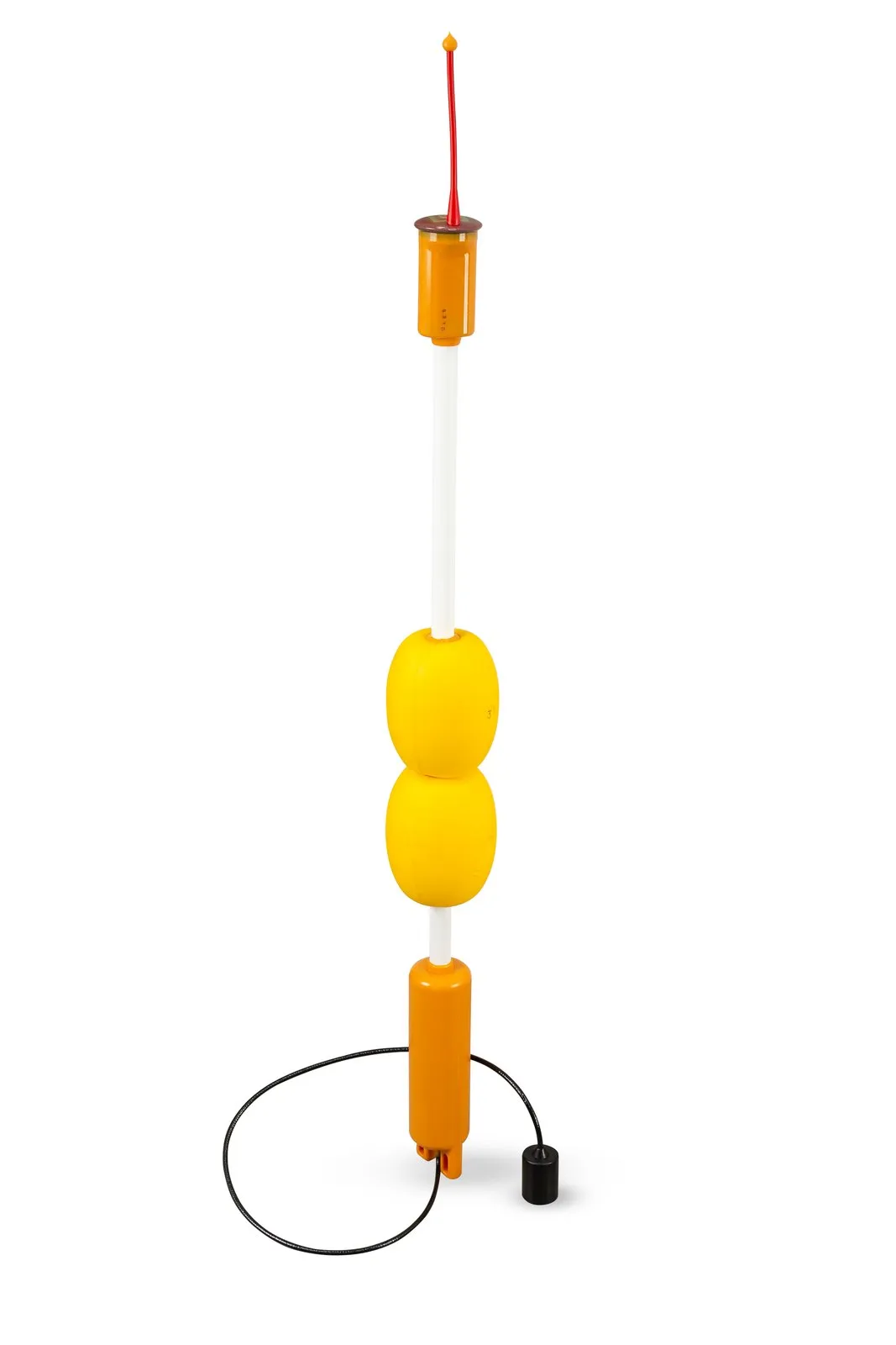
Underwater navigation finds the coordinates of a submerged object from acoustic signals, because radio waves, and therefore satellite GNSS, do not work underwater. There are three main approaches. USBL (ultra-short baseline): a single compact antenna at the surface measures the direction and range to a beacon on the object. LBL (long baseline): several widely spaced reference points (seabed transponders or floating buoys) exchange signals with the object, and its position is calculated from propagation times. iLBL (inverted long baseline, "underwater GPS"): floating buoys transmit, while the object only listens and computes its own coordinates. Below we explain how each approach works, where the errors come from and what really differs in practice.
Why sound rules underwater positioning
Satellite signals barely penetrate water, so over hundreds of meters and kilometers only sound works. It has three properties that shape every underwater acoustic positioning system.
- Sound travels at about 1500 m/s. In reality it is 1450 to 1550 m/s depending on temperature, salinity and pressure, roughly 200,000 times slower than radio. A timing error of 1 ms means a range error of 1.5 m, so time must be measured to within a fraction of a millisecond. A request and reply over 1500 m already take two seconds, which sets the lower bound on the update period of interrogation-based schemes at that range.
- Narrow bandwidth and moderate frequencies. Working carriers lie in the range of a few to a few tens of kilohertz: the higher the frequency, the stronger the attenuation. Zima2, uWave and RWLT operate on a carrier of about 20 kHz with a range of 1 to 3 km.
- Bent rays and echoes. Sound speed changes with depth, rays refract, and reflections from the seabed, the surface and structures create multipath: the receiver hears several copies of the same signal.
Two ways to find a point underwater
Every scheme relies on a baseline, a segment between two reference points with a known relative position. There are two ways to use it.
- Polar. From one point you measure the direction and the range to the object. This is how USBL works.
- Ranging. You measure distances, or differences of distances, between the object and several reference points. The position is found where spheres intersect (trilateration) or where hyperboloids intersect, when arrival-time differences are measured (TDOA, multilateration). GNSS, LBL and iLBL work this way.
Systems are traditionally classified by baseline length relative to the object's track: ultra-short (centimeters to tens of centimeters, all elements in one housing), short (tens of meters along a vessel's hull), long (elements hundreds of meters apart or more). The criterion is convenient but incomplete. It matters just as much who transmits and where the coordinates are computed: at a surface console (positioning) or on the object itself (navigation). That is exactly what separates LBL from iLBL. A short overview is available in the article Types of navigation systems and their applications, and a detailed classification in the article The most complete classification of underwater navigation systems by our engineer on Habr, a Russian technology publishing platform (in Russian).
What is USBL and how does it work
USBL (Ultra-Short Baseline) is a system with a single antenna at the surface, containing an array of several receiving elements, and a transponder (responder beacon) attached to the underwater object. The antenna interrogates, the beacon replies, and the reply tells the system in which direction and how far away the beacon is.
How the position is measured
- The base station transmits a coded interrogation, the beacon receives it and replies after a known delay.
- The slant range is calculated from the round-trip time and the speed of sound.
- The direction to the beacon follows from the difference in arrival times (phases) of the reply across the elements of the array.
- Depth comes either from the vertical angle or from a direct measurement. Zima2 uses the second way: the beacon measures pressure and transmits its depth, so no vertical angle is needed, and that is exactly the angle most distorted by reflections from the surface and the seabed.
- To obtain geographic coordinates, the antenna is tied to GNSS and a compass. A built-in inclinometer compensates the housing tilt (up to ±30° for Zima2-B).
Where the error comes from
Angular error turns into linear error in proportion to range. For Zima2, with a nominal horizontal angle accuracy of 1°, the documentation gives about 17 m at 1000 m; for uWave USBL, at 2°, about 35 m. At 100 m the same angle gives less than two meters. Add antenna heading errors, sound-speed errors and multipath, and it becomes clear why USBL is at its best at short and medium distances, when quick deployment matters more than meter-level accuracy at a kilometer.
Strengths and weaknesses
Strengths:
- A single antenna and a compact kit. Zima2 can be deployed by one person in under 20 minutes.
- The coordinate appears right at the tracking station where the antenna stands. That is convenient when an operator watches an ROV or a diver.
- Several beacons can be tracked: Zima2 works with up to 16 responder beacons.
Weaknesses:
- Accuracy degrades with distance.
- Converting to geographic coordinates requires the antenna heading and GNSS, and the antenna must be rigidly fixed on a pole or a hull.
- Beacons are interrogated in turn, so the update rate of each one drops as the number of objects grows.
- Signal reflections can produce a false bearing.
LBL: a long baseline of several reference points
LBL (Long Baseline) consists of several reference stations spaced hundreds of meters apart or more. The object's position is determined from signal travel times between it and the stations, so inside the baseline accuracy depends little on where exactly the object is. Redundant measurements help to detect and partly compensate errors, for example those caused by multipath.
Seabed baseline
The classic option: transponders are installed on the seabed and calibrated, that is, their relative positions are surveyed from a vessel. The vehicle interrogates the transponders and computes its coordinates from the replies. As a rule this is the most accurate class of systems, and it is chosen for long operations at great depth, but installing, calibrating and recovering the transponders takes a vessel, time and trained personnel.
Surface baseline of buoys
Instead of seabed transponders, floating buoys are used, each with its own GNSS receiver. Their coordinates are known without calibration, and their clocks are synchronized by satellites. Such a baseline is deployed in minutes, but it is suited for small and medium depths: with UCNL systems the object's depth must not exceed the size of the baseline, and at great depth refraction at the sound-speed gradient layer gets in the way. The scheme then splits into two variants, depending on who transmits.
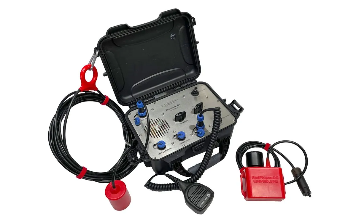
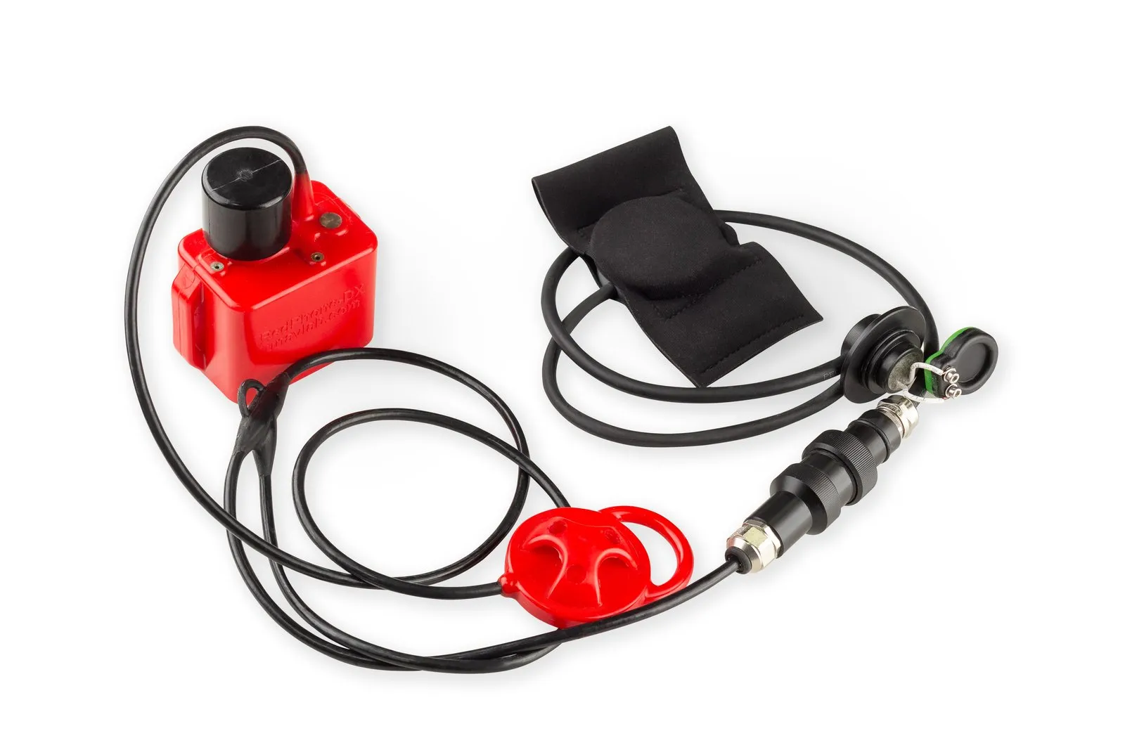
In the first variant the object transmits. A pinger fixed on the carrier periodically sends a signal, four buoys record its arrival time and send the data by radio to a console, where the position is computed. This is how RWLT works (the pinger transmits every 2 seconds, the working area is up to 1500 × 1500 m), as does the educational system WAYU. We first tested the principle on a prototype: trials on the Volga-Don canal. The pinger computes nothing and needs no integration with the carrier, but the system tracks one pinger. For divers, RWLT uses the RedPhone-DX station as the pinger: the position is fixed at the end of each voice transmission, and the number of divers can reach 255.
In the second variant the buoys transmit and the object only receives. That is a separate scheme, iLBL.
iLBL: inverted long baseline, or "underwater GPS"
iLBL (inverted LBL) swaps the roles: the buoys transmit and the object only listens. Each buoy knows its own coordinates and time from GNSS and relays them into the water as acoustic signals. The receiver (RedNode on a robot or RedNav on a diver) measures the differences in arrival times of the signals from four RedBase buoys, computes its position from them like a GPS receiver does from satellites, and determines depth from pressure. The data leave the receiver over NMEA 0183, just like from a regular GNSS receiver, so it can be connected to any software or control system that understands GNSS. This is how RedWave works; the details are in the (Russian) article Underwater GPS from scratch in one year.
What inversion gives you
- An unlimited number of objects. A receiver transmits nothing, so adding receivers does not load the acoustic channel.
- The coordinate on the object itself. A diver sees their own position and waypoints, and a robot feeds coordinates to its control system as it would with ordinary GNSS.
- No calibration. The buoys are placed on the water; in our field descriptions, four buoys took 15 to 25 minutes.
- Steady updates. For RedWave the nominal update rate is 1 Hz regardless of the number of receivers.
Limitations
- The buoys must be placed as a convex polygon with 30 to 700 m between them, and work starts inside the figure: outside it accuracy drops.
- The receiver's depth must not exceed the size of the baseline: RedNode is rated for 300 m, the diver version RedNav for 70 m.
- An operator at the surface sees the object's position only if the object itself sends its coordinates over a communication link, for example over an ROV tether.
The term iLBL is also used in another sense: it is sometimes applied to a surface receiving baseline of buoys, described above. To avoid confusion, look at the roles: who transmits and where the coordinates are computed.
SBL and VLBL: intermediate schemes
SBL (Short Baseline): three or four hydrophones on a vessel's hull, tens of meters apart. Accuracy is higher than with USBL, but the hydrophone positions must be tied precisely to the vessel and vessel motion must be accounted for. UCNL uses this scheme in its engineering support service for underwater operations.
VLBL (Virtual LBL): a moving point, for example a boat with GNSS and a modem, measures ranges to a stationary beacon from different places, and the accumulated measurements work like a spread-out baseline. Two modems are enough, and the scheme suits stationary objects such as seabed stations. A write-up with trial results: Underwater "GPS" with two transceivers.
USBL vs LBL vs iLBL: comparison
| Parameter | USBL | LBL (buoys, pinger on the object) | iLBL (buoys transmit) |
|---|---|---|---|
| What is measured | Direction and range to the beacon | Arrival times of the pinger signal at the buoys | Differences in arrival times of the buoy signals |
| Reference elements | One antenna at the surface | Four buoys (or seabed transponders) | Four buoys |
| Where the coordinate is computed | At the antenna, on the tracking station | On the surface console | On the object itself |
| Number of objects | Several, polled in turn (Zima2: up to 16) | One pinger; up to 255 divers with RedPhone-DX | Unlimited |
| Error behavior | Grows with range (1° ≈ 17 m at 1000 m) | Depends little on position inside the baseline | Depends little on position inside the baseline |
| Deployment | Rigid pole, GNSS and compass | Placing four buoys | Placing four buoys |
| UCNL examples | Zima2, uWave USBL | RWLT, WAYU (educational) | RedWave |
Nominal values from UCNL documentation: RedWave and RWLT give 2DRMS of 0.84 m (for RedWave this is the result of a 60-minute measurement in a real water body with stationary buoys and receiver), and Zima2 measures the horizontal angle to 1°. These figures are for favorable conditions: on a real body of water the result depends on the factors listed below. The full table is in the documentation.
What else affects accuracy
- Sound-speed profile. The calculation uses a single speed, while in reality it depends on temperature, salinity and depth. Rays bend in a thermocline, and shadow zones appear. Our (Russian) article Where do sound rays go underwater? shows how, with negative refraction, the range of a modem rated for 1000 m can fall to 400 m, and how lowering it by 10 to 20 meters restores the range.
- Multipath. In shallow water and near structures a reflected signal can be stronger than the direct one. Wideband signals and error-correcting coding help.
- Geometry. For buoy baselines the error grows outside the buoy figure, for USBL it grows with range.
- Antenna orientation. A heading error of a few degrees shifts the whole USBL picture.
- Depth and salinity. Pressure is converted to depth using water density, and the user sets salinity.
- Object motion. Measurements are spread over time, so the devices have a relative speed limit: ±1.8 m/s for RedWave and RWLT, ±2 m/s for Zima2.
How to choose
If you need to deploy quickly at one point and track an ROV or a diver from a vessel or a pier, take USBL. If there are many objects and the coordinate is needed on the object itself, take iLBL. If you need accuracy of about a meter over a large area, LBL on buoys fits. A classic seabed baseline is a separate class of solutions for great depths; the UCNL catalog offers USBL and surface buoy baselines. The selection criteria are covered in detail in USBL or LBL: how to choose an underwater positioning system, and unfamiliar terms are explained in the underwater navigation glossary.
Key takeaways
- Underwater positioning is built on sound, not radio, and its accuracy is limited by the speed of sound, multipath and geometry.
- USBL gives a quick start and a coordinate at the tracking station, but its error grows with distance.
- LBL gives stable accuracy inside the baseline; with buoys it is deployed without calibration.
- iLBL lets you track an unlimited number of objects, and each one knows its own position.
- The schemes complement each other, and for autonomous vehicles acoustics is usually combined with inertial navigation.
UCNL equipment for this task
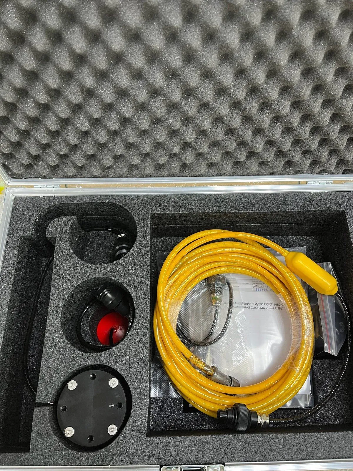
- Zima2: a USBL system with the Zima2-B direction-finding station and Zima2-R responder beacons, up to 16 beacons, radius up to 3000 m.
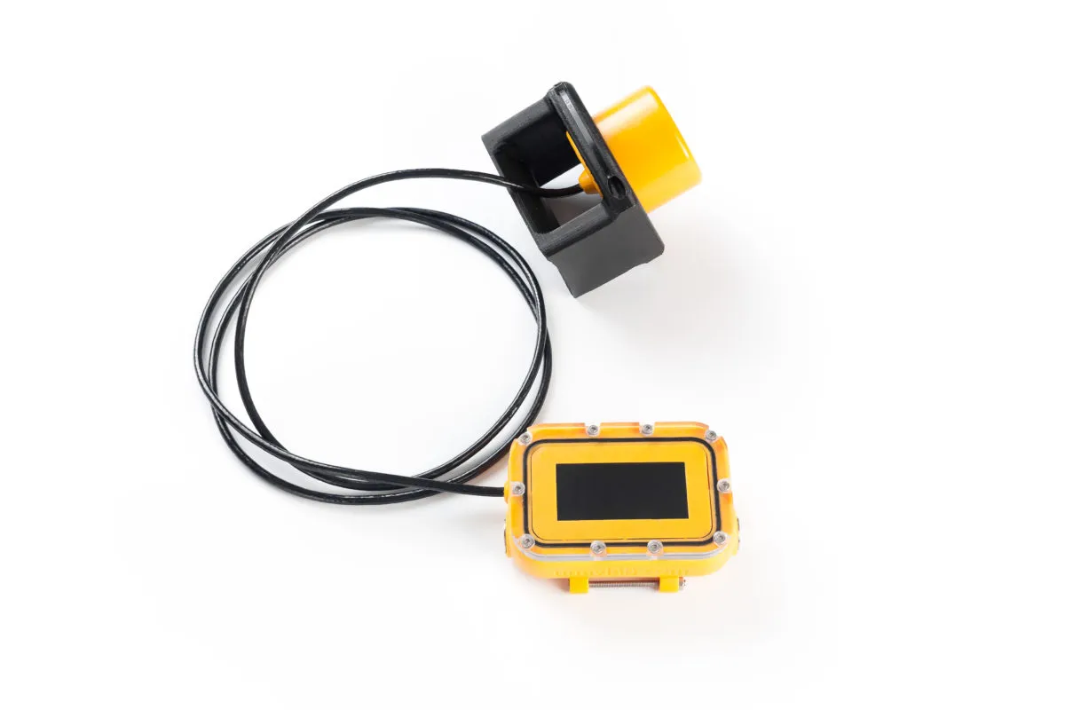
- uWave USBL: an acoustic modem that combines data transmission and USBL navigation.
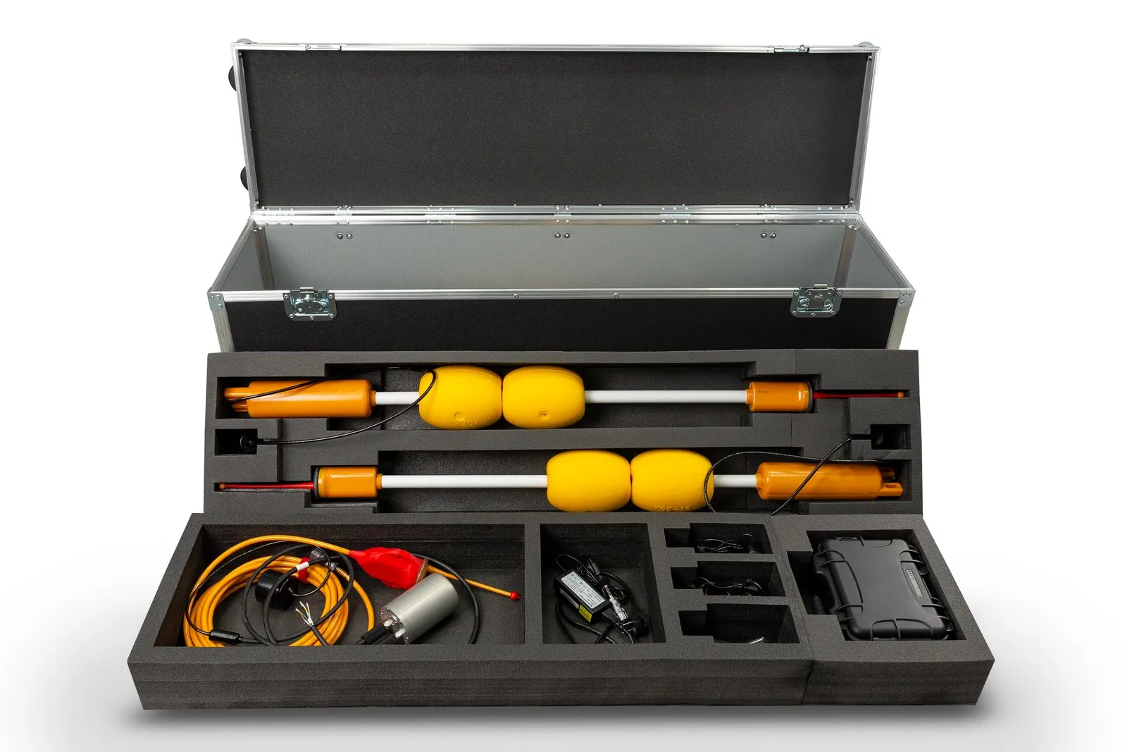
- RedWave: iLBL "underwater GPS" with RedBase buoys and RedNode and RedNav navigators.
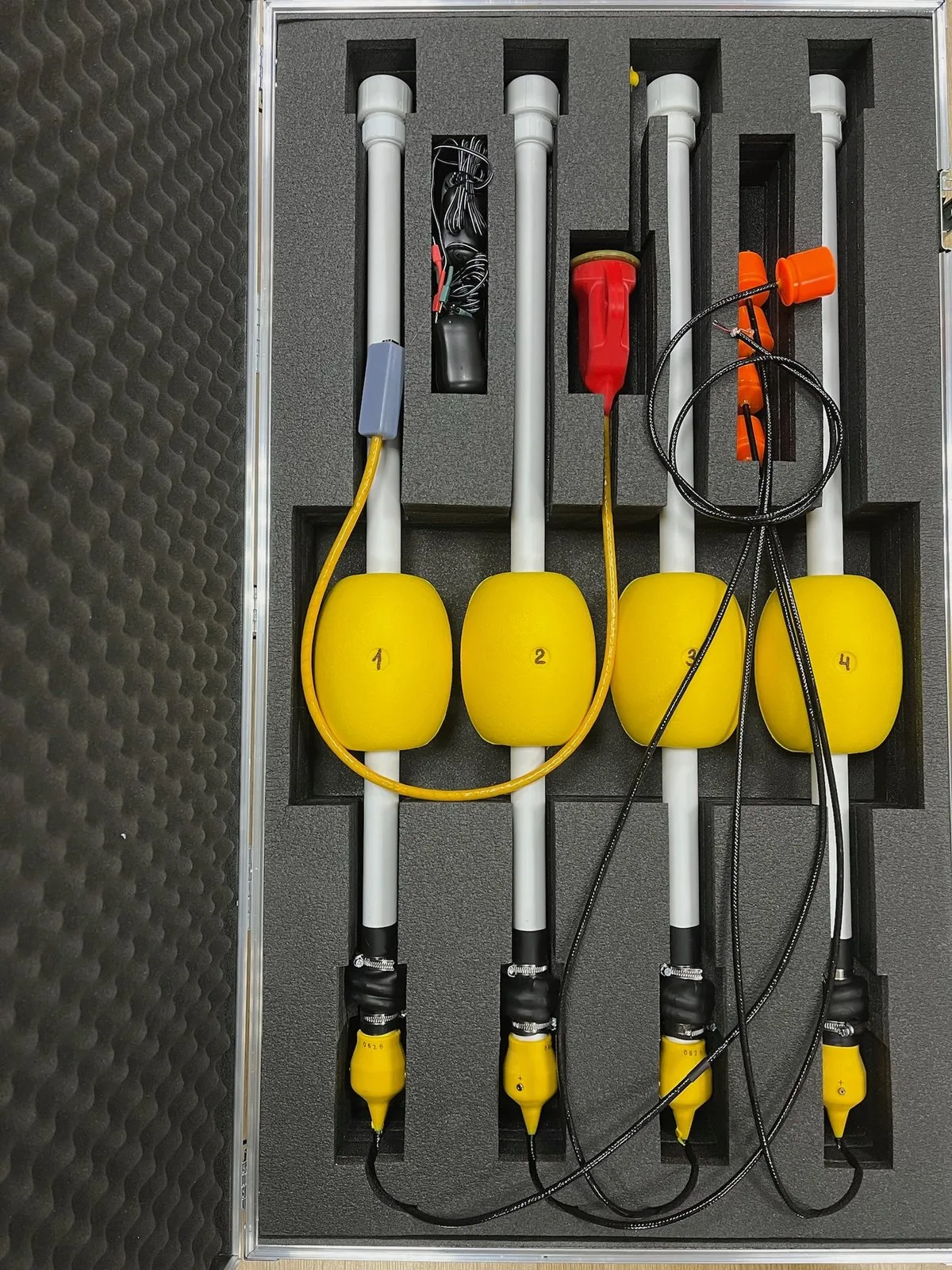
- RWLT: LBL on four RWLT GIB buoys with the RWLT Pinger or the RedPhone-DX diver station.
- WAYU: a simple tracking system for educational projects.
- All navigation solutions: the Navigation section.
Further reading
- An incorrect classification of underwater navigation systems, "on the fingers" (in Russian): basic concepts and a critique of the traditional split.
- Underwater navigation: direction finding and the Zima USBL system (in Russian): how the Zima USBL system is built.
- Underwater "GPS" with two transceivers (in Russian): virtual long baseline and the calculation algorithm.
- Underwater GPS on an underwater robot: field experience (in Russian): RedWave trials on an ROV.
- Why does sound attenuate in water? (in Russian): the physics of attenuation and range estimation.