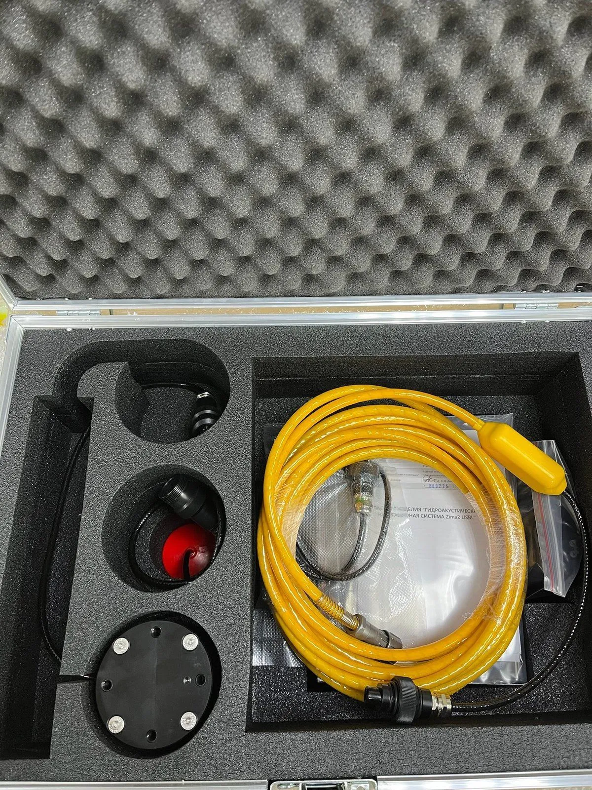
Today, developing ocean resources still faces the following challenges in navigation and positioning:
- Hydroacoustics has no alternative;
- When we say “navigation,” we mean “communication + time measurement”;
- Low wave propagation speed in the medium (~1500 m/s):
- Significant delays;
- Difficulty routing and synchronizing nodes;
- Too slow a system response to changes;
- A narrow available frequency band.
There are three types of navigation systems: long-baseline, short-baseline, and ultra-short-baseline. Below we describe each one, compare them, and briefly cover our own developments.
There are three types of navigation systems: long-baseline, short-baseline, and ultra-short-baseline. Below we describe each one, compare them, and briefly cover our own developments.
Long-baseline navigation system. The baseline is longer than the positioned object's trajectory
| What is measured | Advantages |
|---|---|
| Signal propagation time (synchronized clocks or request–response) | Higher accuracy than other types |
| Time difference of signal arrival | Can provide coordinates to an unlimited number of passive receivers at the same time |
| Can use either a seabed or a surface base, referenced and synchronized via GNSS |
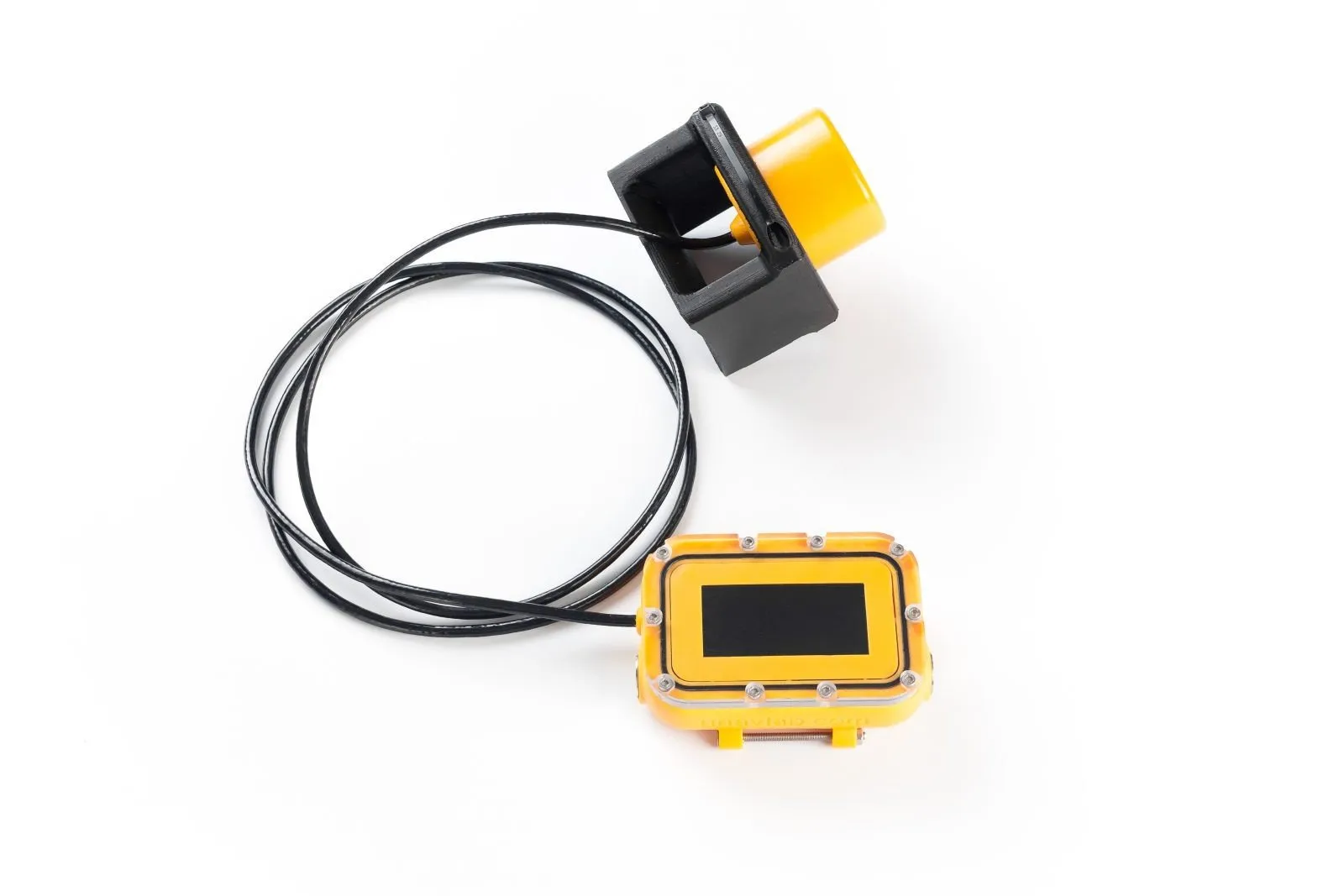
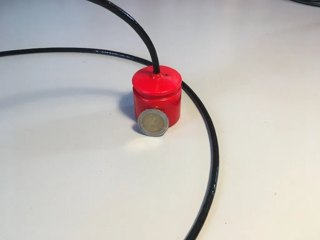
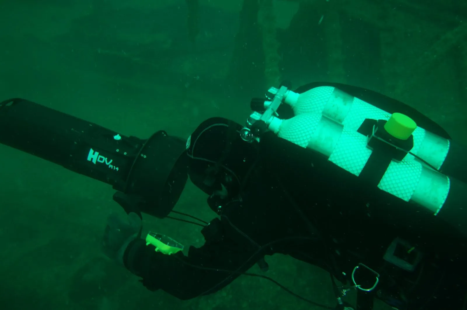
Our long-baseline underwater acoustic navigation system, RedWave, is designed to provide navigation data (absolute geographic coordinates and depth) to various submerged underwater objects: remotely operated vehicles (ROVs), manned submersibles, autonomous underwater vehicles (AUVs), as well as divers and technical divers (when the devices are used in a diver configuration).
Short-baseline navigation system. The baseline is comparable to the positioned object's trajectory (the base elements are often kinematically linked)
| What is measured | Advantages |
|---|---|
| Signal propagation time (synchronized clocks or request–response) | Easy to use |
| Time difference of signal arrival | Easy to mount on a vessel |
| Higher accuracy than ultra-short baseline | |
| Can provide coordinates to an unlimited number of passive receivers at the same time |
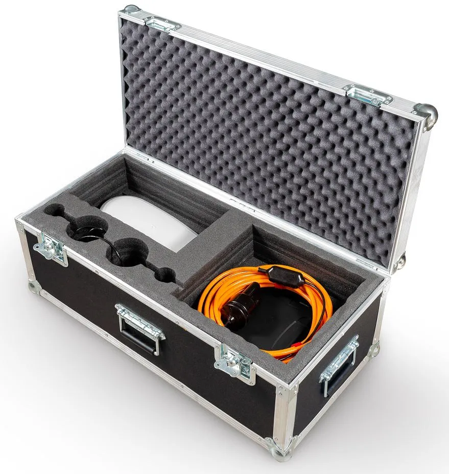
We have now developed, and offer our customers, an engineering support service that provides full support for underwater operations using a specialized short-baseline navigation system that determines the position and orientation of the customer's equipment. The service includes providing the specialized navigation system, along with our engineers' work operating it.
Ultra-short-baseline navigation system. The baseline is much shorter than the positioned object's trajectory
| What is measured | Advantages |
|---|---|
| Signal propagation time (synchronized clocks or request–response) | Easy to use |
| Horizontal angle of signal arrival and the Rx–Tx depth difference | Small equipment set |
| Horizontal and vertical angles of signal arrival | Price |
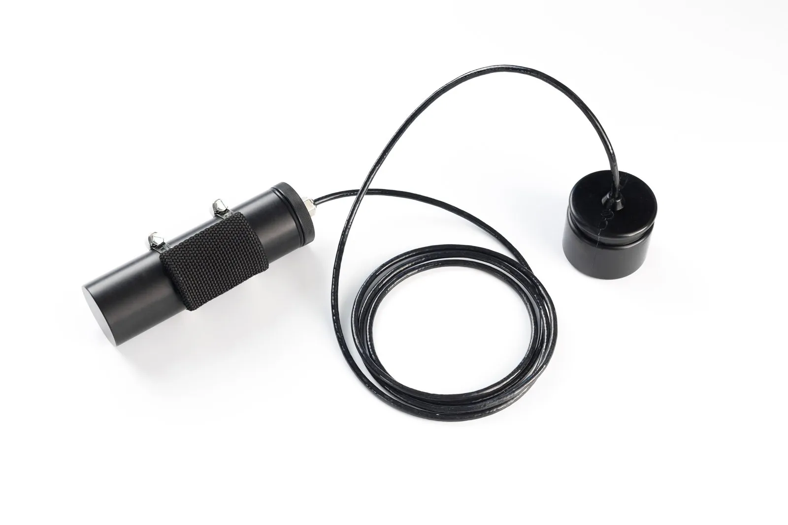
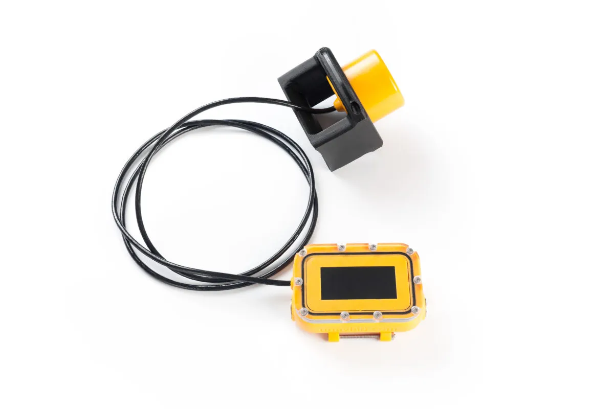
Our own invention, the Zima navigation system, is an ultra-short-baseline (USBL) system. It works by using a phased antenna array to determine the horizontal angle of arrival of the signal, and by measuring the range to the beacon using the request–response method.
Types of navigation systems: where to use each one
| Long baseline | Short baseline | Ultra-short baseline |
|---|---|---|
| If positioning is required | Positioning in engineered tanks | If you need speed and simple deployment |
| If maximum accuracy and geographic referencing are required | If you can precisely fix the base elements and determine their relative positions | If you need to home in on the target through successive refinement |
| If simultaneous positioning of an unlimited or large number of objects is required, with the coordinate computed on the object itself (as in GNSS) | If deploying a long baseline is difficult or impossible, and USBL does not provide the required accuracy | If the coordinate is needed at the tracking station (where the direction-finding antenna is located) |
| If the vessel can be fitted with short-baseline elements from the start | If only a relative position is required |