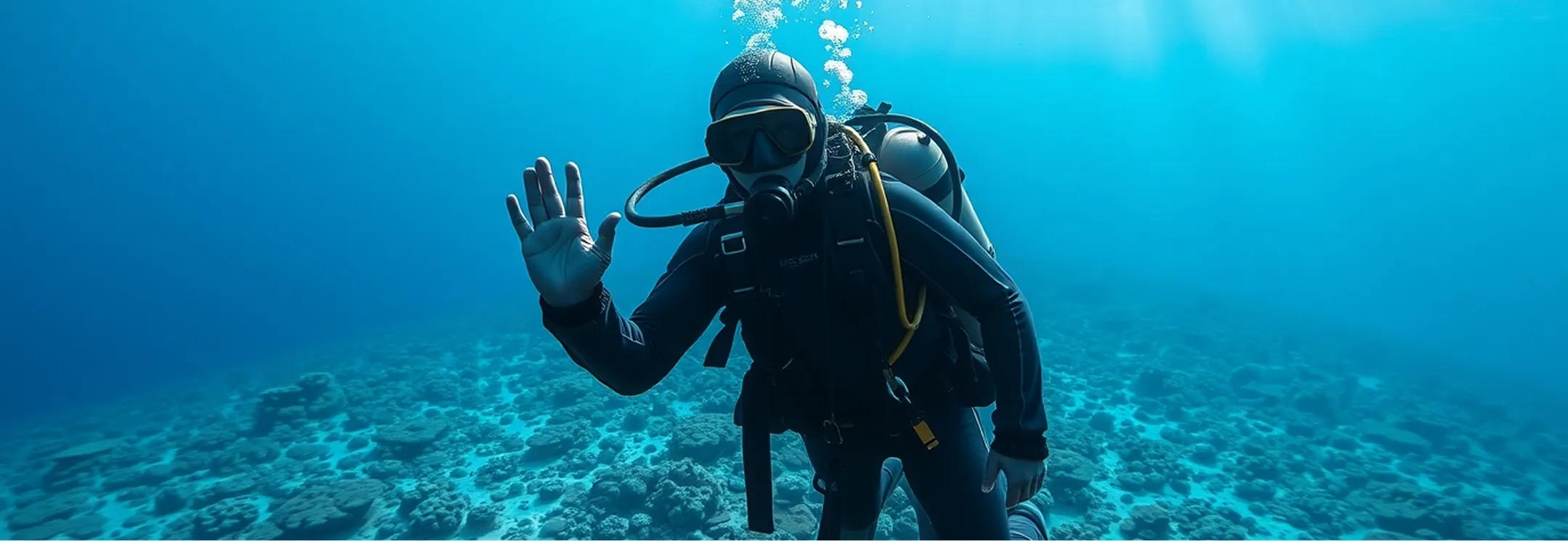
RedWave navigation system
RedWave is a system that works on the principle of high-precision satellite systems, applied to underwater objects. We call it “underwater GPS”.
Tell us about your task and we will put together a configuration
- Navigation base
- 4 buoys
- RedNode receivers and diver navigators
- ∞
- Distance between buoys
- 30–750 m
- Practical accuracy achieved by our users
- 40 cm
- Position update rate regardless of receiver location
- 1 Hz
Advantages
- Works with an unlimited number of underwater objects at the same time
- Requires no setup or calibration before startup
- Suitable for use even in shallow water bodies
- Delivers navigation data in 3D, in real time
- Extremely compact size and low power consumption
- Real-time operation in absolute geographic coordinates
- Simple PC connection
- High accuracy regardless of where the navigation receivers are positioned within the base
System composition
 Back to catalog
 Device
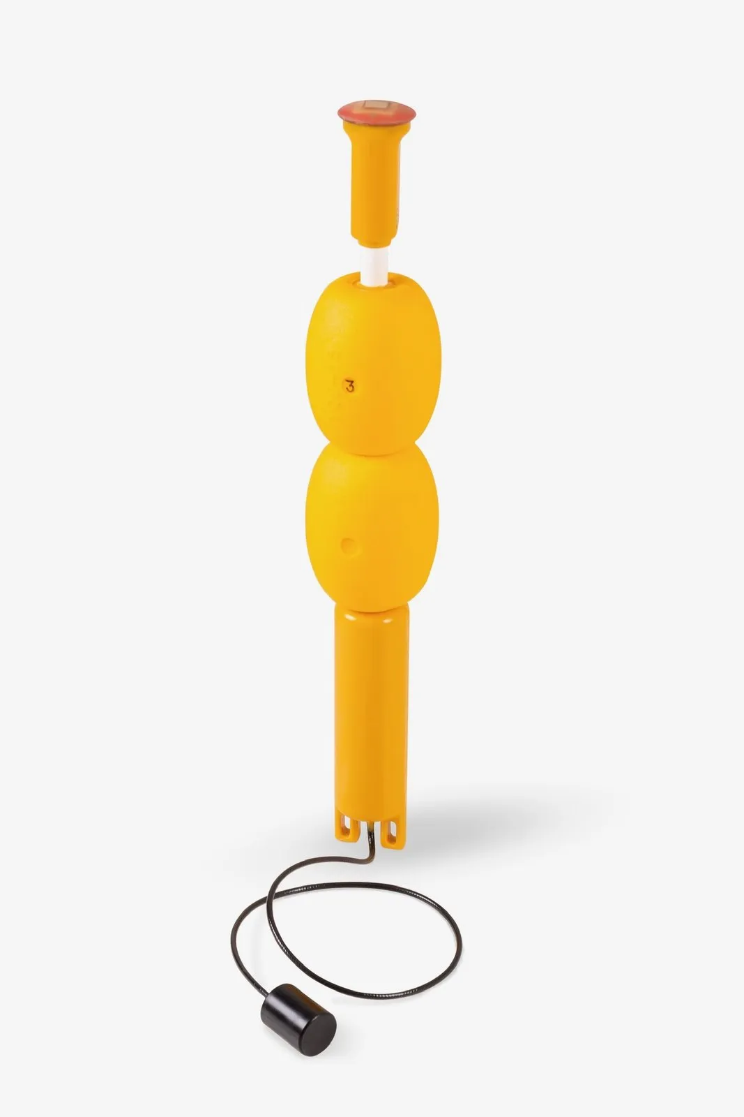
RedBase
Navigation buoy
Learn more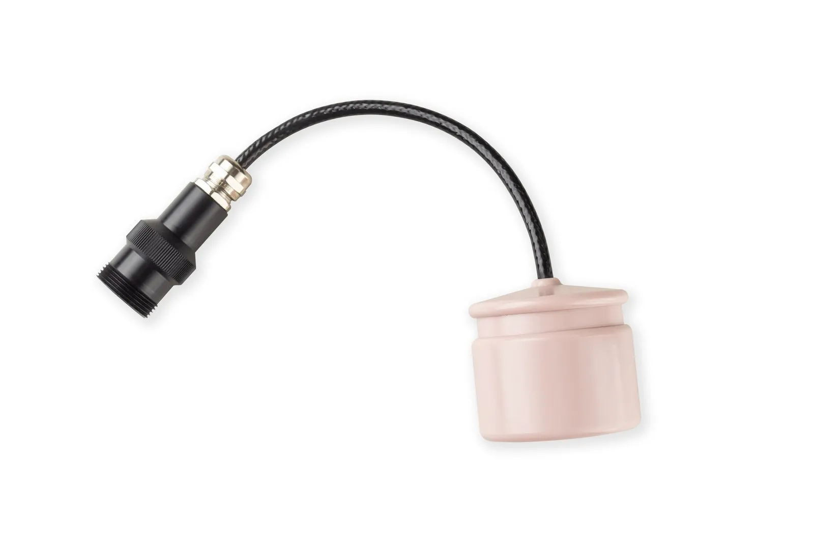 Device
RedNode
Navigator for robots
Learn more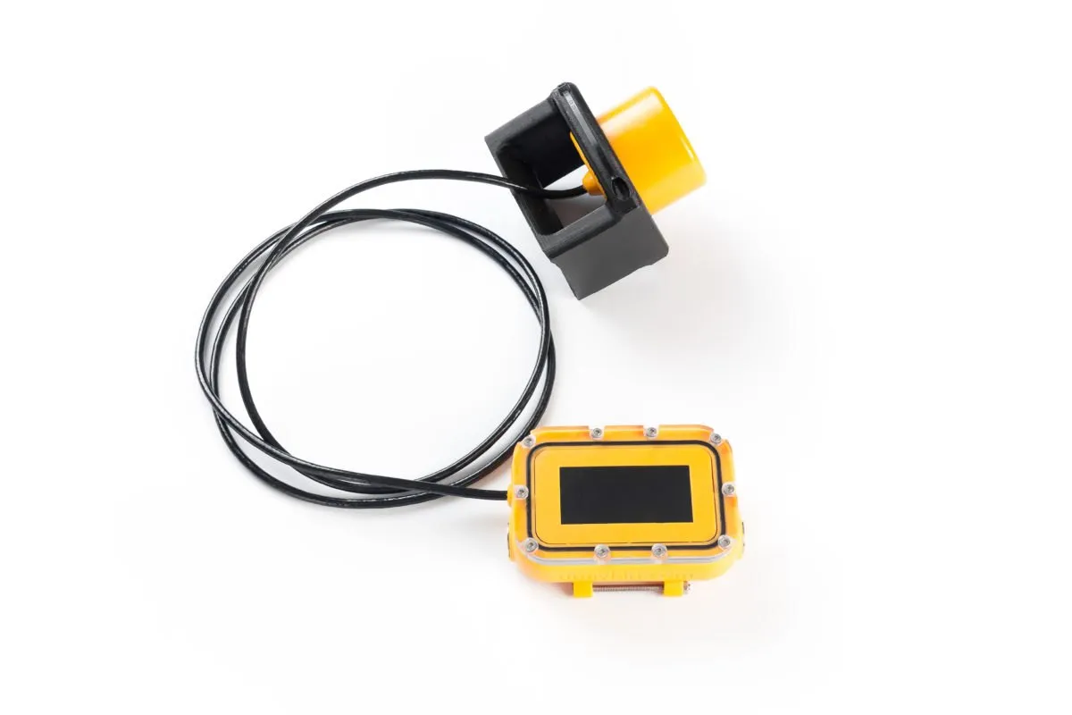 Device
RedNav
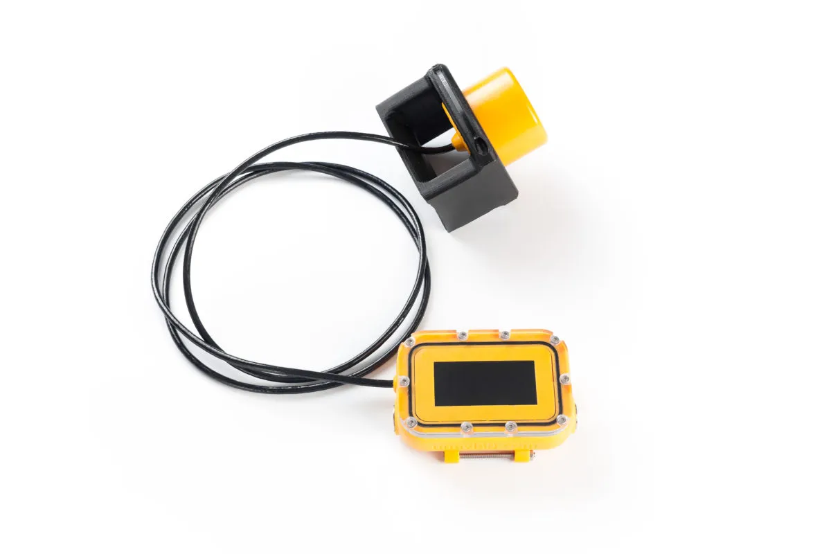
Underwater navigator for divers
Learn more Software
uGPSHub
- Freeware
- Open source
Application for RedNode receivers: buoy data and position output over a serial port or UDP
User manual
Standard delivery set
RedBase navigation relay buoys — 4 units
RedNode navigation receivers for underwater vehicles or RedNav diver navigators — one per tracked object
uGPSHub software
The minimum set is four RedBase buoys plus one navigator per tracked object: RedNav for divers, RedNode for underwater vehicles. Navigators can be added to an existing set.
Tell us about your task and we will put together a configuration
System details
01How “underwater GPS” will change the way you work
We have addressed the typical problems of underwater navigation. Most comparable systems, for example, only track underwater objects one at a time. That seriously limits your ability to track several divers or robots in the same area. Another issue is complex setup and inevitable interference in shallow water, which most comparable systems cannot handle.
The RedWave navigation base provides coordinates to all receivers simultaneously at a high update rate
02Simpler than ever
The system is designed to be as easy to use as possible. To deploy it, simply place the buoys on the water — no preliminary setup and no power buttons
03No limit on the number of objects
The system works on the same principle as satellite navigation and provides precise, simultaneous tracking of an unlimited number of objects, including in shallow water. It operates like GPS/GLONASS, but without a radio signal, which is useless underwater. You get accurate coordinates for divers and robots, and the whole system is compact enough to fit in a small case; no special training is needed to operate it.
04Purpose of RedWave
The RedWave system is designed to obtain the precise location of various underwater objects:
- divers and technical divers;
- manned submersibles;
- remotely operated vehicles (ROVs);
- autonomous underwater vehicles (AUVs).
05How RedWave is used
Use the system simultaneously for an unlimited number of divers or controlled underwater objects
Upload waypoints and plan diver navigation along a pre-built route
Get 3D navigation data on object positions
Save the current position data for objects
Record the movement tracks of objects
The system lets you set target waypoints before a dive and download the dive results to a PC: the diver’s work track (3D position time-stamped in UTC) and the waypoints the diver saved
06Configuration options
The system's logic is simple: the required base (4 RedBase navigation units) plus RedNav diver navigators or RedNode robot navigators. RedBase buoys are placed on the surface of the water body and form a navigation base that determines the coordinates of an unlimited number of underwater objects at the same time!
System for providing divers with navigation data
- RedBase – acoustic navigation relay buoy. Four units required.
- RedNav – diver's navigator for determining the diver's geographic position without surfacing.
System for locating other underwater objects
- RedBase — acoustic navigation relay buoy. Four units required.
- RedNode – navigation receiver for determining its own coordinates, emulating the protocol of standard GNSS receivers.
Submit Your Inquiry