If you need to set up quickly at one point and track one or several vehicles from a boat or a pier at ranges of up to a few kilometers, choose USBL. If you need accuracy of about a meter across the whole work area, the coordinate on the object itself, or tracking of many divers and robots at once, choose LBL on floating buoys. Below are six selection criteria, a comparison table and UCNL equipment matched to typical jobs. If you want to see how the schemes work first, read Underwater Navigation: How USBL, LBL and iLBL Work.
Six questions that decide the choice
1. How many objects, and where is the coordinate needed
A USBL station interrogates its beacons in turn: Zima2 works with 16 responder beacons, and uWave USBL with 20 code channels. The more beacons, the less often each position is updated. The coordinate appears on the console at the antenna.
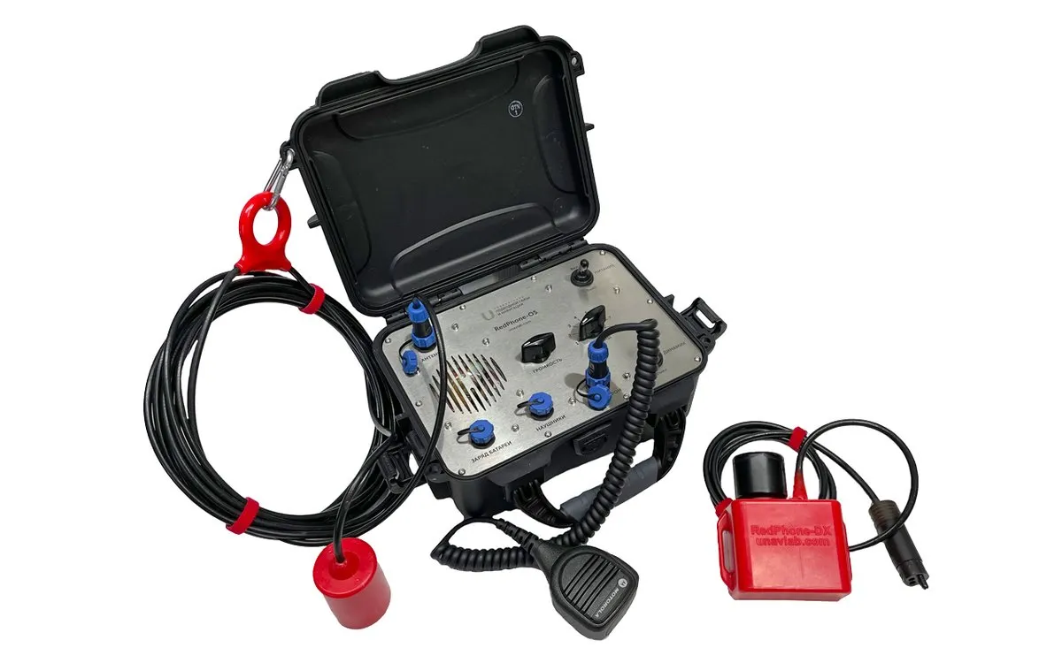
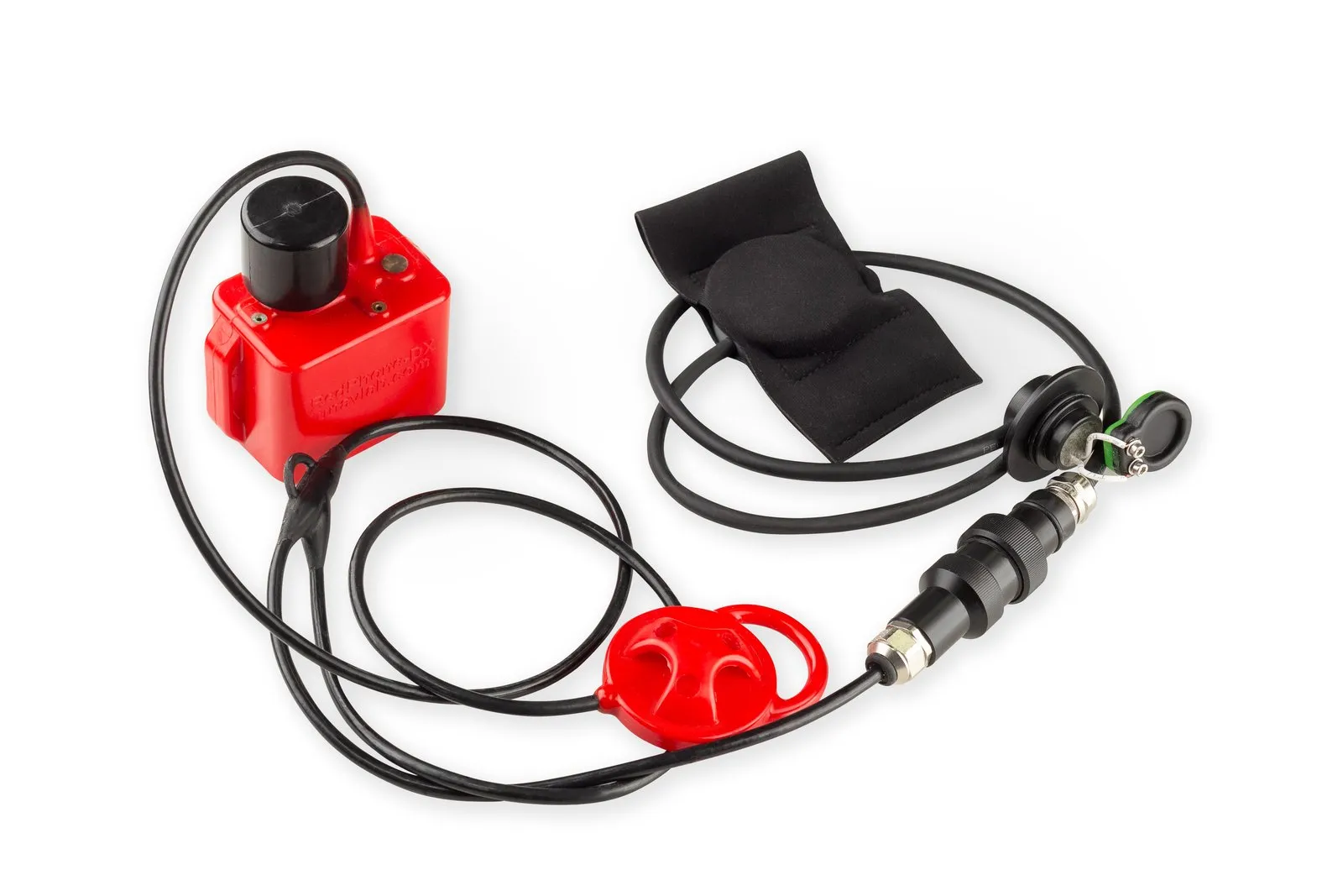
In systems with a receiving baseline and a pinger on the object the coordinate is also computed at the surface. RWLT tracks one pinger, or up to 255 divers with the RedPhone-DX diver station: the position is updated at the end of each voice transmission.
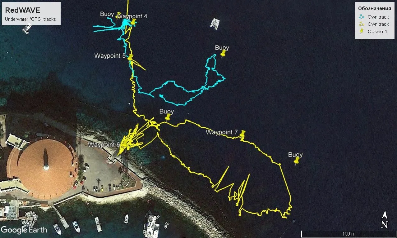
If there are many objects, or the coordinate is needed on the object itself, the inverted scheme of RedWave fits. The receivers only listen to the buoys, so their number is unlimited, and every receiver computes its own position.
2. Range and depth
For USBL the limit is the range to the beacon: the Zima2 working area has a radius of up to 3000 m, uWave USBL 1000 m. Beacon depth is normally up to 300 m, and Zima2 also comes in versions for greater depths, up to 1 km.
For buoy baselines the limit is the baseline size. RedWave covers 700 × 700 m, RWLT 1500 × 1500 m. The object's depth must not exceed the size of the baseline. The depth limit is 300 m for RedNode and RWLT Pinger (500 m for RWLT in a special version), and lower for diver versions: 70 m for RedNav and 100 m for RWLT with the RedPhone-DX station. For work deeper than a kilometer the current UCNL catalog has no standard solutions, and such tasks should be discussed with our engineers separately.
3. What accuracy you need, and where
With USBL the linear error grows in proportion to range: roughly the range multiplied by the tangent of the angular error. The estimate below covers only the angular component at nominal values (1° for Zima2, 2° for uWave USBL) and ignores antenna heading error, sound-speed error and multipath.
| Range to the beacon | 100 m | 300 m | 1000 m | 3000 m |
|---|---|---|---|---|
| Zima2, 1° | 1.7 m | 5.2 m | 17 m | 52 m |
| uWave USBL, 2° | 3.5 m | 10 m | 35 m | beyond the 1000 m radius |
With buoy baselines accuracy inside the buoy figure hardly depends on the object's position: the nominal value is 2DRMS 0.84 m for RedWave and RWLT, and 1.5 m for RWLT with the RedPhone-DX station. As a rough rule, at 1° the USBL angular error equals 0.84 m at a range of about 50 m. If you work at a pier or around a small structure, USBL is quite enough. If the vehicle goes hundreds of meters away and you need meters or better, a buoy baseline wins.
4. How and where to deploy
USBL needs the antenna rigidly mounted on a pole or a hull, plus a GNSS receiver and a compass. Zima2 can be set up by one person in under 20 minutes. If a satellite signal is unavailable, for example at restricted facilities, the antenna coordinates and azimuth can be entered manually from a map and landmarks; this mode is described in our article on an ROV quay inspection with Zima2.
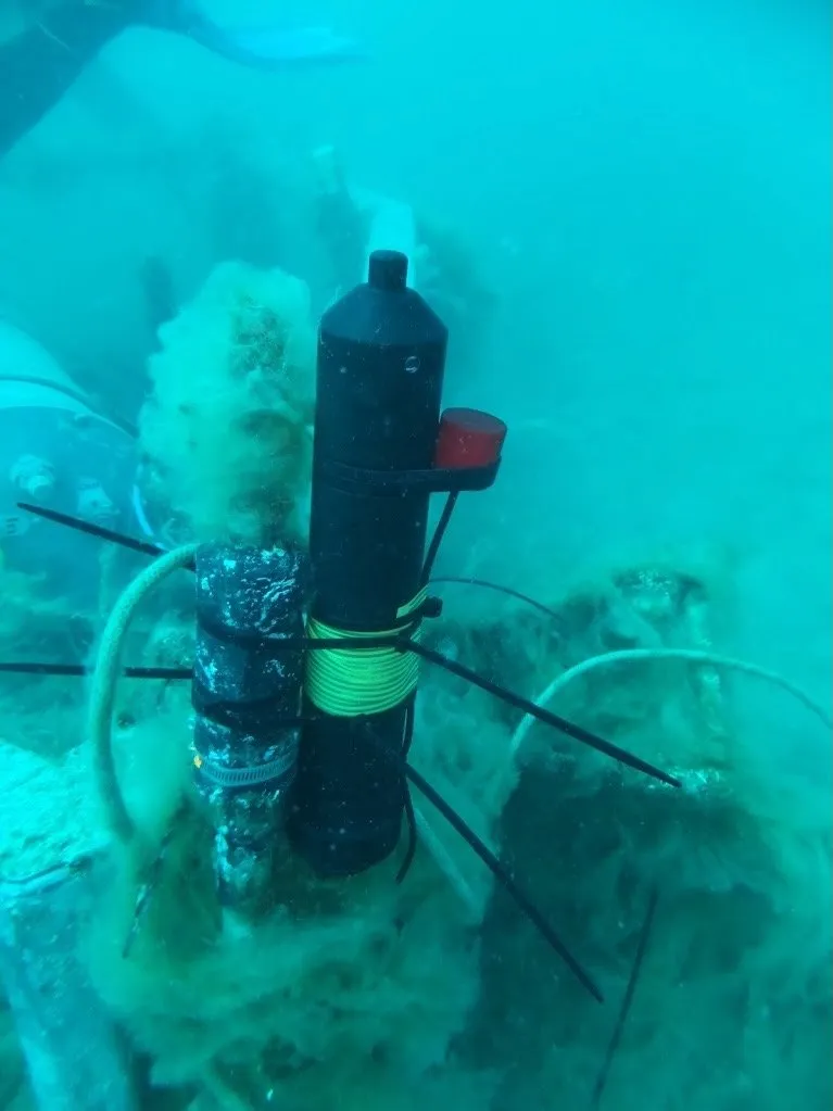
A buoy baseline needs four buoys placed as a convex polygon: for RedWave the spacing between buoys is 30 to 700 m, for RWLT 30 to 1500 m, and for RWLT the sides of the quadrilateral must be roughly equal and differ by no more than a factor of two. No calibration is needed; in our field descriptions placement took 15 to 25 minutes, and work must start inside the figure. You need a boat, a kayak or shore points, and every buoy carries its own GNSS receiver.
5. Who is being positioned: an ROV, an AUV or a diver
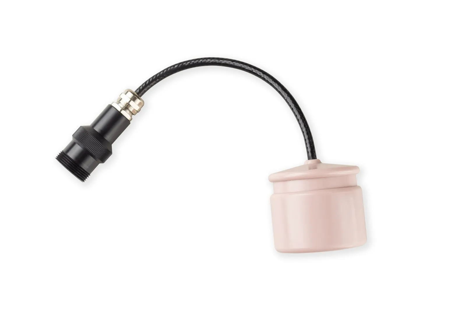
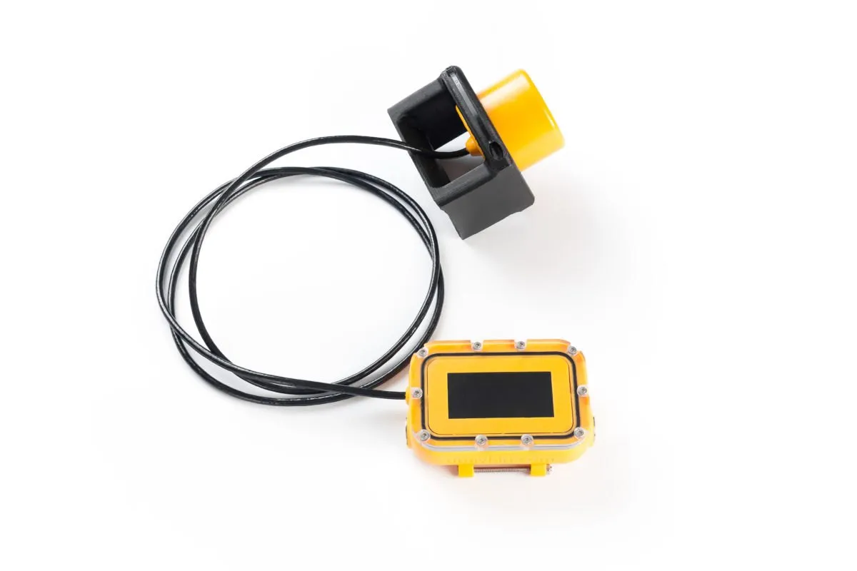
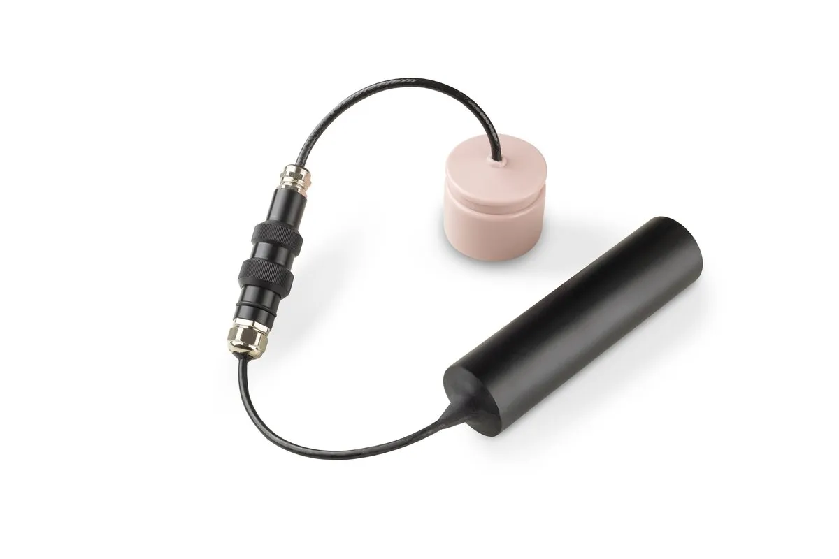
- ROV. If the operator needs to see the vehicle on a map, attach a Zima2-R responder beacon or an RWLT Pinger: integration with the carrier is optional, and a standalone beacon runs on a battery pack. If the vehicle needs its own coordinates for waypoints, install a RedNode navigator, which outputs data like a GNSS receiver.
- Diver. The RedNav navigator shows the diver their position and waypoints and records the track, with no limit on the number of divers. If the operator on top must see the position and hear the voice, RWLT with the RedPhone-DX station fits. For relative diver positioning Zima2 works well.
- AUV. If the vehicle needs the coordinate on board, RedNode inside the baseline area fits. If tracking it from the surface is enough, USBL fits: a Zima2-R beacon integrated with the carrier additionally accepts up to 32 remote-control commands. Outside the acoustic coverage, inertial navigation usually takes over.
6. Whether you need communication
Zima2 combines positioning with remote control (up to 32 commands) and telemetry. uWave USBL transmits arbitrary data and at the same time determines the angle and range to its counterpart, so no separate USBL station is needed. RWLT with the RedPhone-DX station provides navigation together with voice communication, and the RWLT Pinger also transmits depth, temperature and battery voltage.
USBL vs LBL comparison
Values are nominal, from the comparison table in the documentation; footnotes to them are given on the documentation page.
| Criterion | USBL (Zima2, uWave USBL) | LBL on buoys (RWLT) | iLBL (RedWave) |
|---|---|---|---|
| Objects | Zima2 up to 16, uWave USBL up to 20 | 1 pinger; up to 255 divers with RedPhone-DX | Unlimited |
| Working area | Circle with radius 3000 m (Zima2), 1000 m (uWave USBL) | 1500 × 1500 m | 700 × 700 m |
| Max depth | Zima2: 300 m, up to 1000 m in a special version; uWave USBL: 300 m | 300 m (500 m in a special version); 100 m with RedPhone-DX | 300 m; 70 m in the diver version |
| Accuracy | 1° (≈17 m at 1000 m); 2° (≈35 m at 1000 m) | 2DRMS 0.84 m; 1.5 m with RedPhone-DX | 2DRMS 0.84 m |
| Update period | Zima2 from 1 s; uWave USBL from 3.6 s | 2 s | 1 s |
| Where the coordinate is computed | On the console | On the console | On the object |
| Deployment | Pole, GNSS and compass | Four buoys | Four buoys |
Which UCNL system fits your case
| Task | What fits | Why |
|---|---|---|
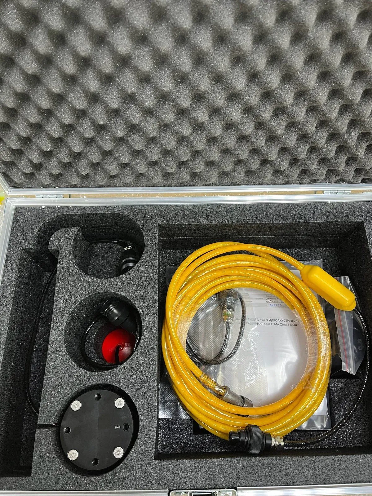
| Track one ROV from a vessel or pier, deploy fast | Zima2: Zima2-B and Zima2-R | One person and under 20 minutes, radius up to 3000 m, can work without GNSS with manual reference |
| Track up to 16 vehicles or divers from one point | Zima2 | Sequential polling of up to 16 beacons, all coordinates on one console |
| Many divers and robots at once, coordinate on the object | RedWave: RedNav, RedNode | Unlimited number of receivers, no calibration |
| One object, maximum accuracy over a large area | RWLT with RWLT Pinger | Area up to 1500 × 1500 m, 2DRMS 0.84 m, coordinate on the console |
| Divers with voice communication and tracking at the surface | RWLT with RedPhone-DX | Up to 255 divers, position at the end of each transmission |
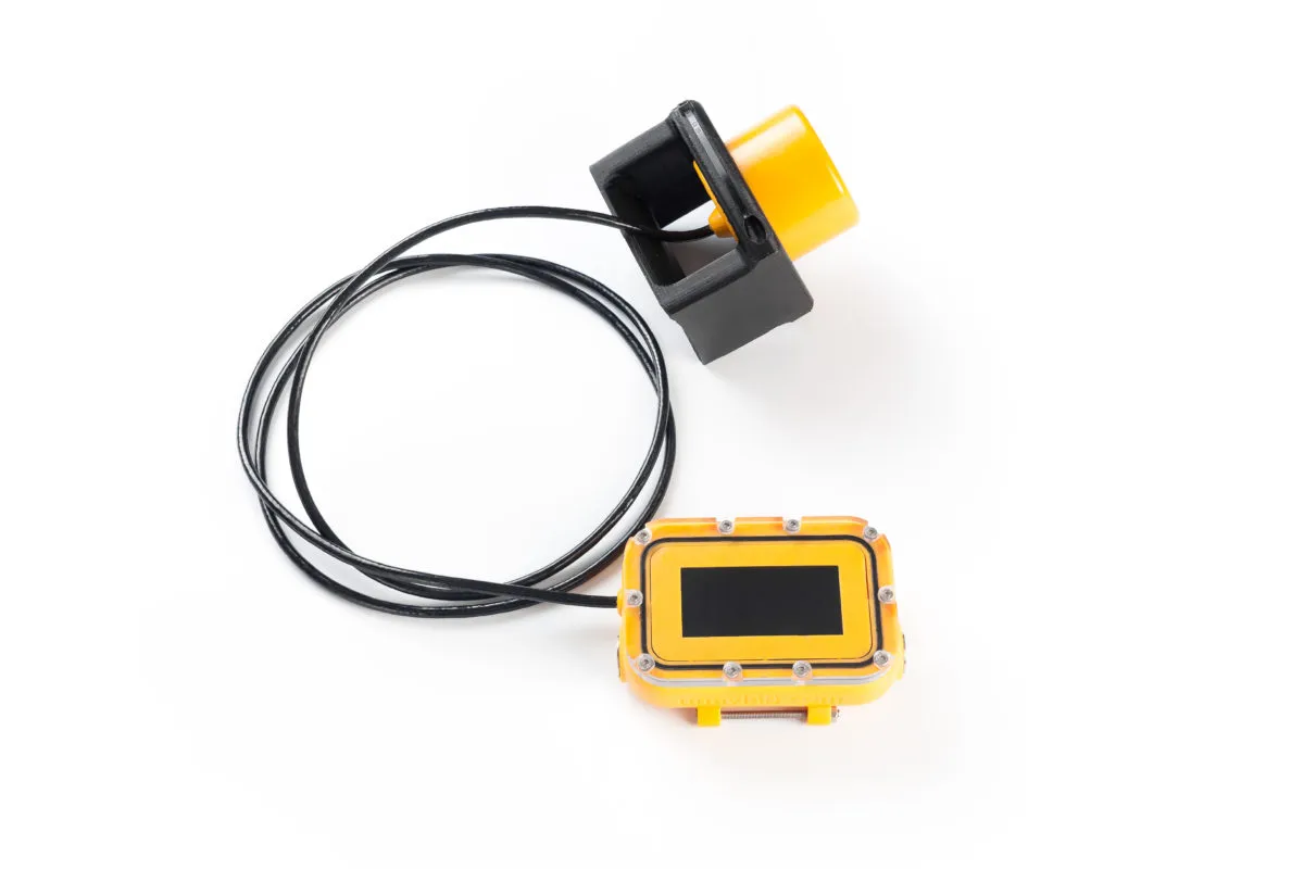
| Data and position in one small device | uWave USBL | A modem combined with USBL navigation, up to 20 code channels |
| Educational projects and underwater robotics contests | WAYU | A simple system for educational tasks, which is the only permitted use |
Common selection mistakes
- Expecting meter-level accuracy from USBL at a kilometer. The angular error grows with range.
- Forgetting the heading source and GNSS for a USBL antenna, or a rigid mount for it.
- Placing buoys too close together, with uneven sides, or starting work outside the buoy figure.
- Forgetting that the object's depth must not exceed the size of the buoy baseline.
- Not checking site conditions: thermoclines, shallow water and structures cause reflections and shadow zones. A trial run helps.
- Not deciding where the coordinate is needed: with the operator on top or on the object itself.
Key takeaways
- Fast deployment and tracking from a vessel: USBL, for example Zima2.
- Many objects and the coordinate on the object: iLBL, RedWave.
- About a meter of accuracy over a large area: LBL on buoys, RWLT.
- USBL error grows with range, while buoy baselines keep steady accuracy inside the buoy figure.
- The choice is often decided by questions about the diver or vehicle, communication and installation site rather than by a single accuracy figure.
UCNL equipment for this task
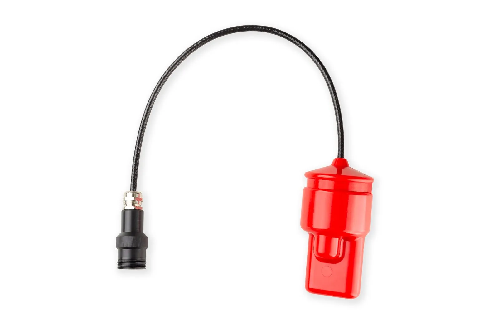
- Zima2: the Zima2-B direction-finding station, Zima2-R responder beacons and the Bat&Link Box power and switching unit.
- uWave USBL: a modem with USBL navigation.
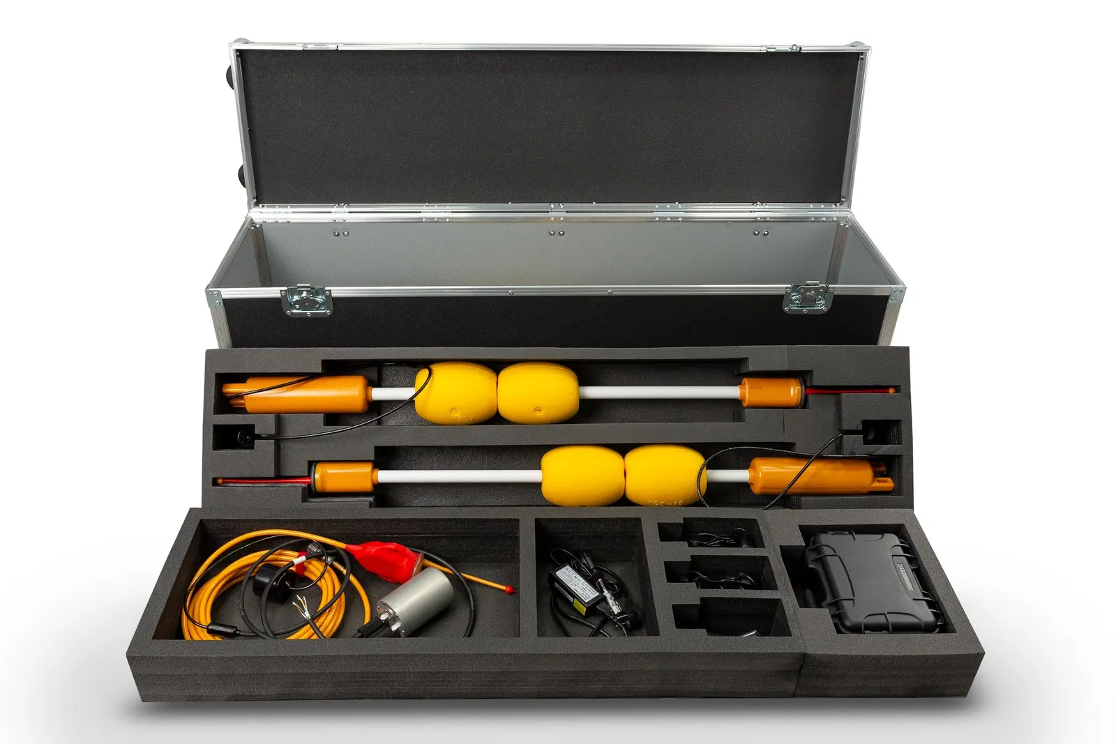
- RedWave: RedBase buoys, RedNode and RedNav navigators.
- RWLT: RWLT GIB buoys, the RWLT Pinger and the RedPhone-DX station.
- The Navigation section and the underwater navigation glossary.