WAYU
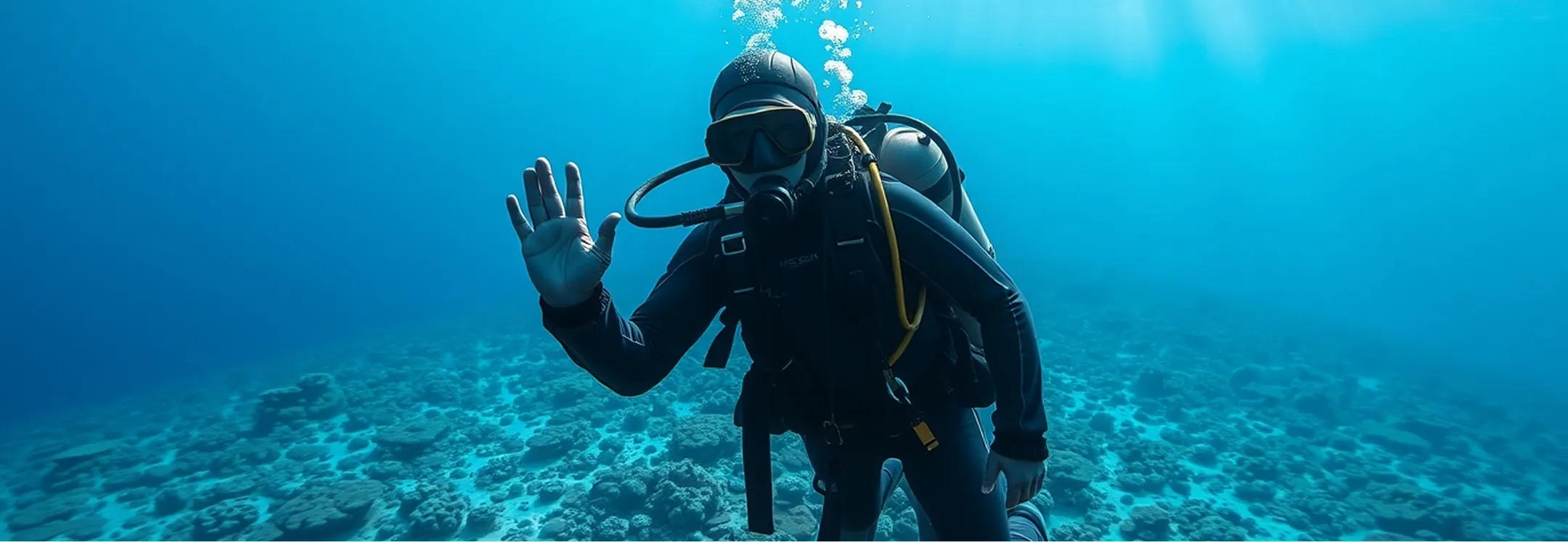
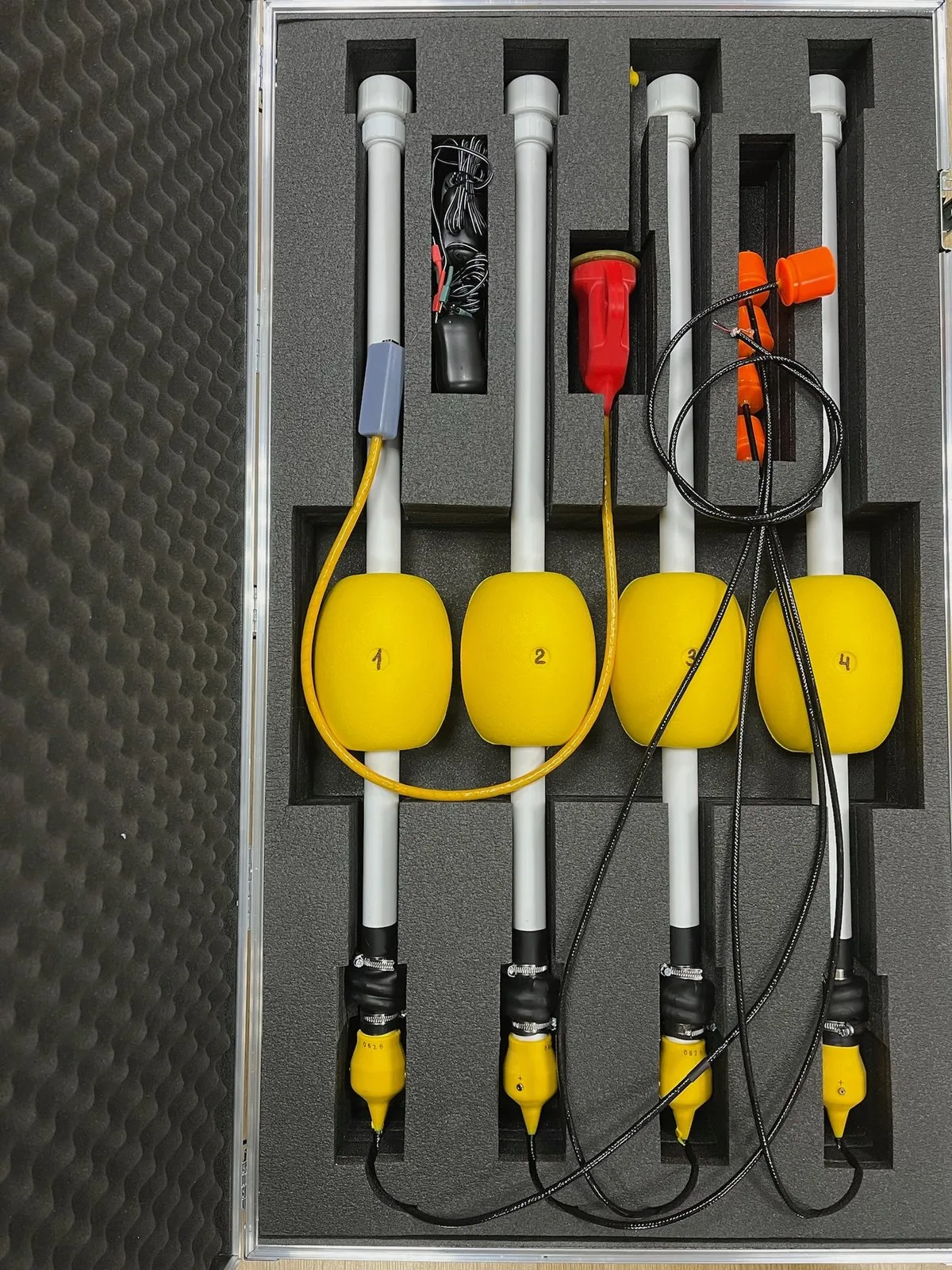
WAYU stands for Where Are You Underwater. The user places a WAYU Pinger beacon on the object being positioned (ROV, AUV, diver, etc.), and four small navigation buoys, WAYU GIB, on the surface of the water. From that moment on, the underwater object's absolute geographic position is shown on a PC screen running the open-source WAYU software
Tell us about your task and we will put together a configuration
- Navigation base
- 4 buoys
- Distance between buoys
- 30–300 m
- Pinger signal interval
- 2 s
- Pinger operating depth
- up to 100 m
- Buoy operating time
- up to 12 h
Advantages
- Simple and affordable for educational projects
- Real-time determination of the underwater object's geographic position
- Recording the underwater object's movement track
- Determining the underwater object's course
- Emulating the GPS protocol to pass the underwater object's location to mapping software
System composition
 Back to catalog
- Component
WAYU GIB
Navigation buoy: four buoys form a floating navigation base, up to 12 hours of operation
Documentation 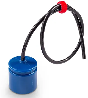 Component
WAYU Pinger
Pinger beacon for ROVs, AUVs or divers: a signal every 2 s, depth up to 100 m
Documentation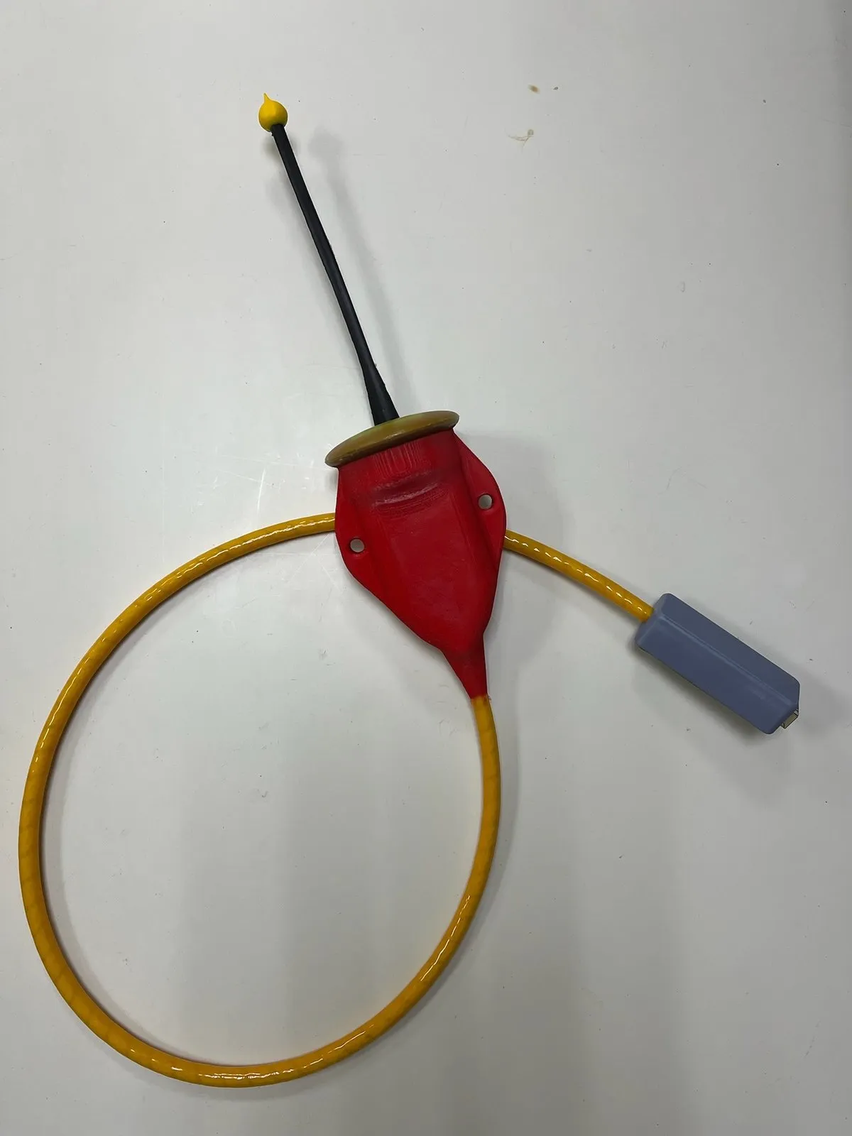 Component
WAYU Radio Dongle
Receiver for WAYU GIB buoy signals: determines the pinger position, connects via USB
Documentation Software
WAYU
- Freeware
- Open source
Open-source application: object position on a map and output to mapping software
User manual
Standard delivery set
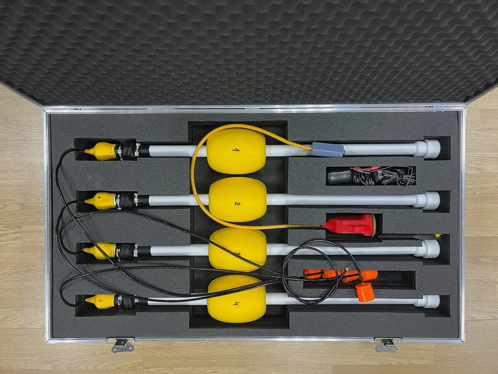
WAYU GIB navigation buoys — 4 units
WAYU Pinger beacon
WAYU Radio Dongle receiver
Open-source WAYU software
System details
A reliable and easy-to-use solution for educational projects
01Works out of the box
Both the WAYU pinger and buoys switch on automatically when they hit the water and need no setup or calibration — only charging their built-in power sources.
The underwater object's position is easily passed from the WAYU application, via a serial port (physical or virtual), to any mapping software that supports standard GPS receivers over the NMEA0183 protocol.
02Distinctive features
- Affordable on limited budgets, yet nearly as capable as professional systems
- Positioning the underwater object in absolute geographic coordinates
- Extremely easy to use
- Switches on automatically in water
03Geometric limitations
- From each buoy to every other buoy there should be no more than 300 meters and no less than 30 meters
- From each buoy to the navigation receiver there should be no more than 300 meters; to ensure reliable reception of the buoys' radio signal, you may need to raise the receiving antenna a few meters higher
- The buoys should be arranged in a convex quadrangle so that its sides are approximately equal and differ by no more than 2 times
- The maximum diving depth of the pinger should not exceed the dimensions of the navigation base
- The greatest accuracy of the system is achieved within the buoy figure, and operation should always begin within this figure. Going beyond the figure is possible, but accuracy may decrease significantly as the positioned object moves away from the buoy figure
04Limitations
- Intended exclusively for educational projects — training programmes, underwater robotics competitions, and the like
Submit Your Inquiry