Positioning and communication for ROVs and AUVs
The task: know where the vehicle is and stay in touch
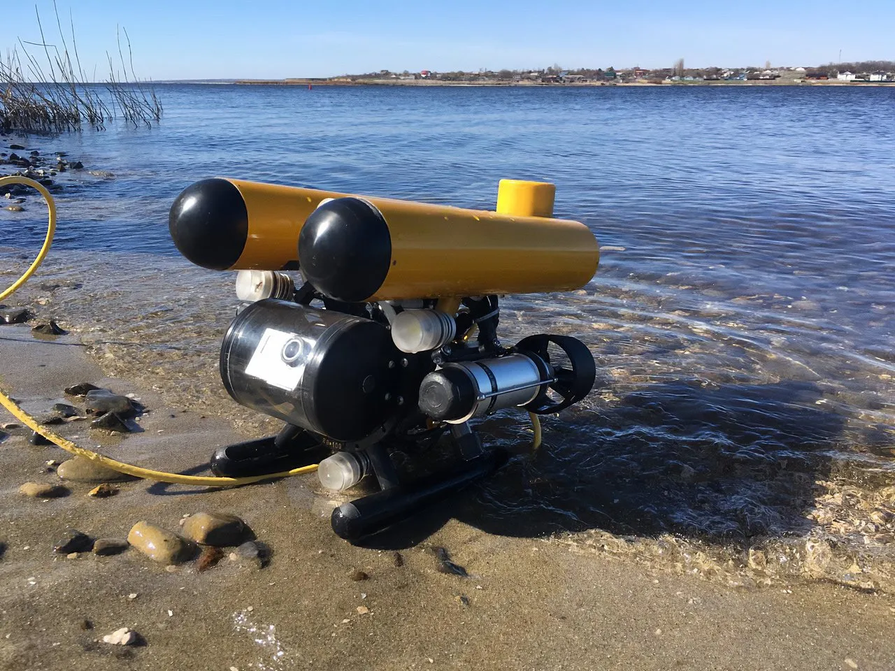
A remotely operated vehicle (ROV) sends video to the operator over a tether, but the picture alone hardly ever shows where the vehicle actually is. In our own trials, with 1–2 m of visibility, driving the vehicle by camera image alone proved impossible: it passed close to the spot where a test object had been sunk, yet over an hour of recording the object never appeared in the frame. An autonomous underwater vehicle (AUV) runs its mission without a tether and usually estimates its position by dead reckoning from an inertial system and a Doppler log, getting a GPS fix only at the surface.
Satellite navigation does not work underwater because radio signals are useless in water. That leaves the operator with two typical tasks. The first is positioning: getting the vehicle's coordinates in real time, recording a track and returning to points of interest. The second is communication: sending commands and receiving telemetry without a cable. Both are solved with hydroacoustics.
Which UCNL systems are used, and why
Zima2: track the vehicle from a vessel or the shore
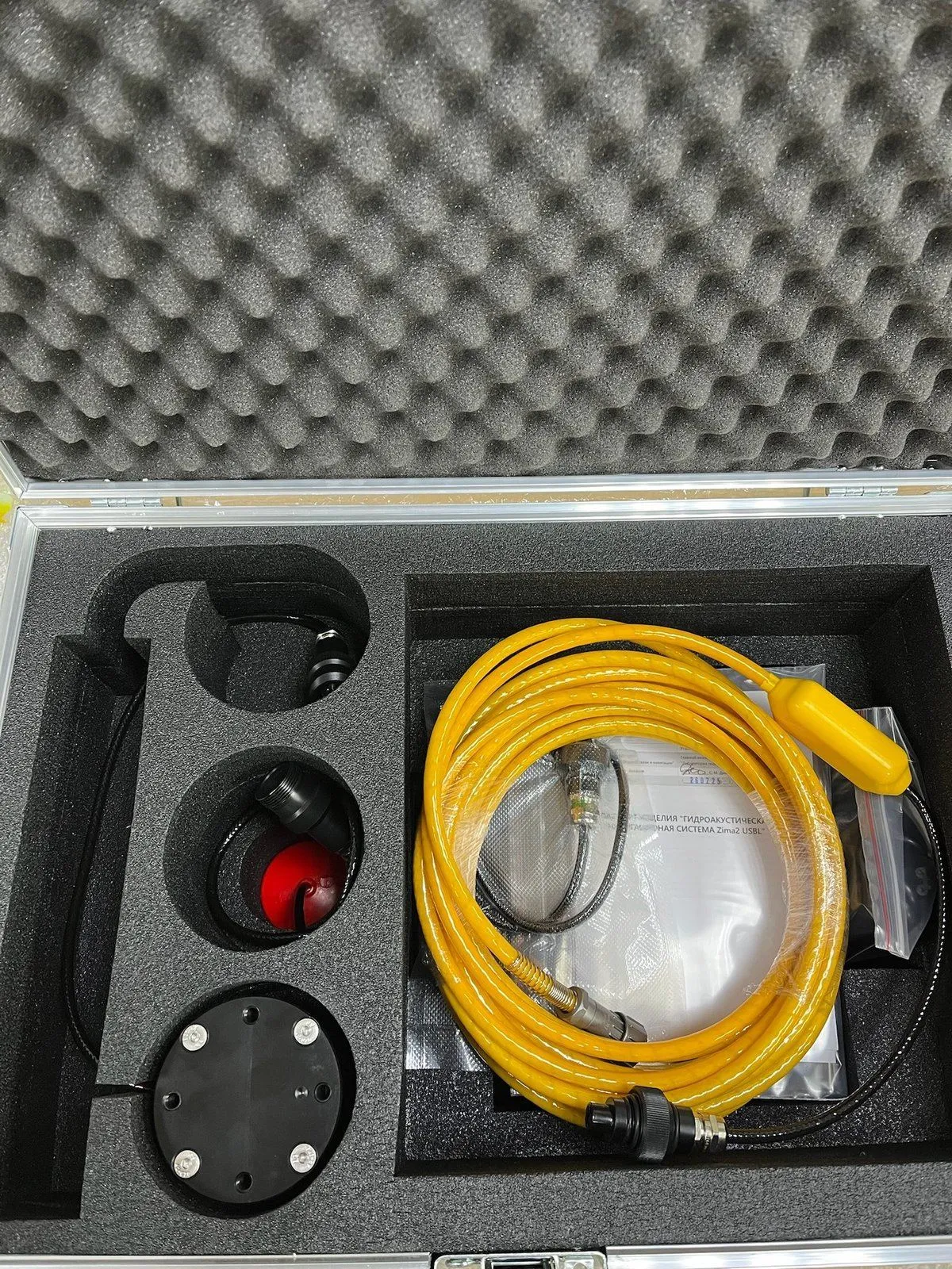
Zima2 is an ultra-short baseline (USBL) system. The Zima2-B direction-finding antenna is mounted on a support vessel or on the shore, and the Zima2-R responder beacon is fitted to the vehicle. The system measures range and bearing to the beacon and, with a GNSS receiver and a compass connected, outputs absolute coordinates. Operating range is up to 3,000 m, one antenna tracks up to 16 objects, and the beacon's depth is measured directly, which removes errors in depth and vertical angle.
The beacon runs on its own battery pack or on power from the carrier, and it supports a data link with the vehicle. That opens a telecontrol channel: up to 32 addressed commands to the vehicle and telemetry from on board. One person can deploy the system in under 20 minutes, and the data can be passed to QINSy and HYPACK.
A practical example is the inspection of a quay structure with the Trionix-6M remotely operated vehicle, whose software had the Zima2 complex integrated. The vehicle's position was shown on a map, the track was recorded, and the coordinates of the objects found made it possible to return to them regardless of underwater visibility. Where satellite signals are jammed on site, the antenna's coordinates and heading are entered manually from a map and landmarks.
RedWave and RWLT: an "underwater GPS" on a floating baseline
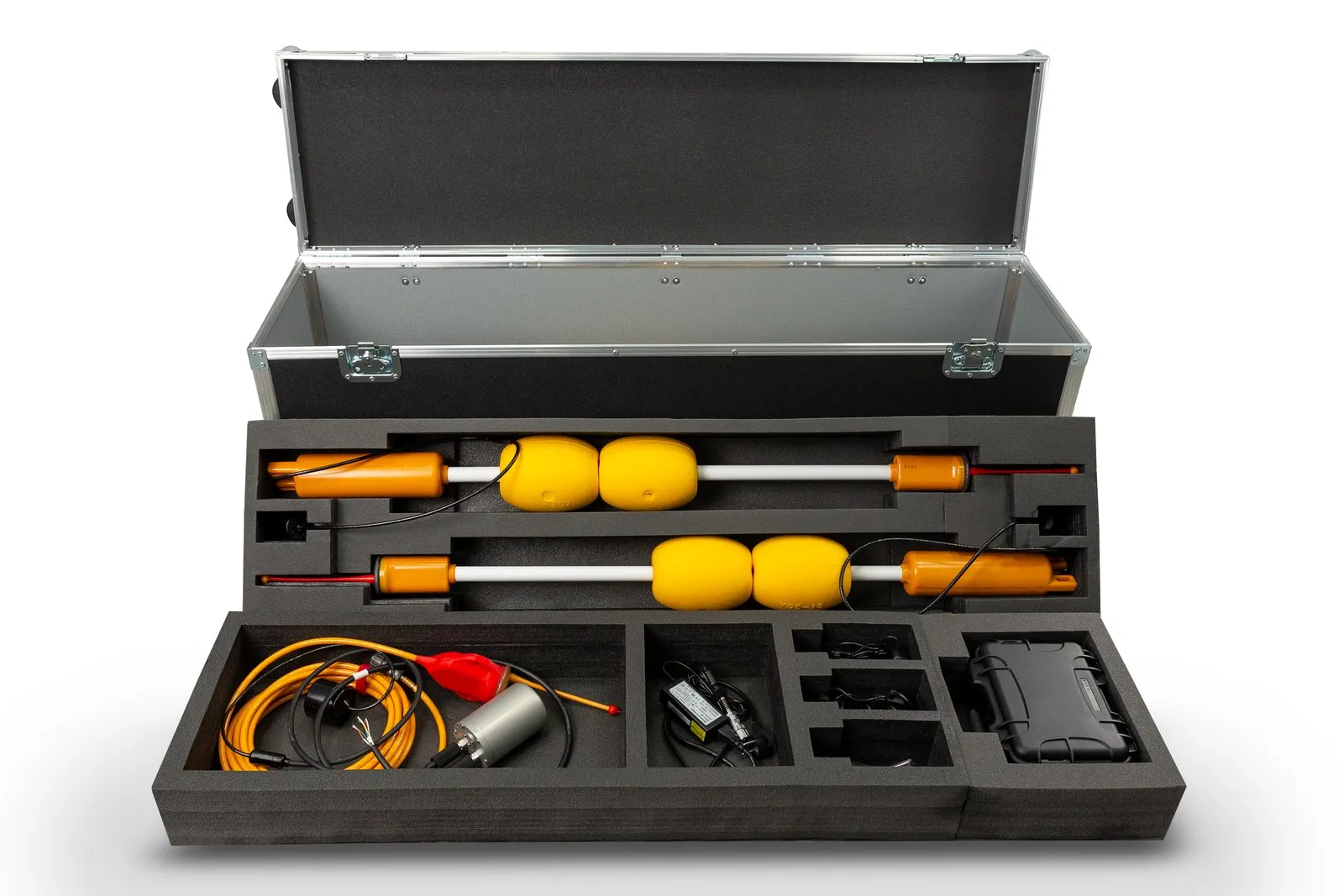
When the coordinate is needed on the vehicle itself, a long-baseline scheme is used. Four floating buoys form a navigation baseline on the surface, and the position is computed from their signals, on the same principle as satellite navigation. The buoys only transmit and the receivers only receive, so one set serves any number of vehicles and divers in the water area.
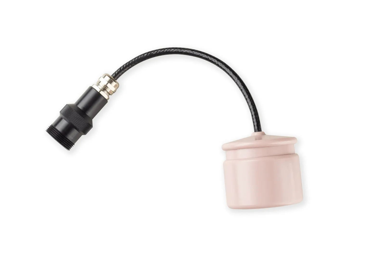
For vehicles, the RedWave system uses the RedNode navigation receiver, 64×62 mm and 0.3 kg. It receives the signals of the RedBase buoys, computes 3D coordinates at 1 Hz and passes them to the robot's control system over UART, emulating an ordinary GNSS receiver via NMEA0183. Nominal horizontal error is 0.84 m (2DRMS) and depth error is 0.1 m; the working area is up to 700×700 m inside the buoy figure, and the receiver's maximum depth is 300 m. No calibration is needed: place the buoys and switch them on.
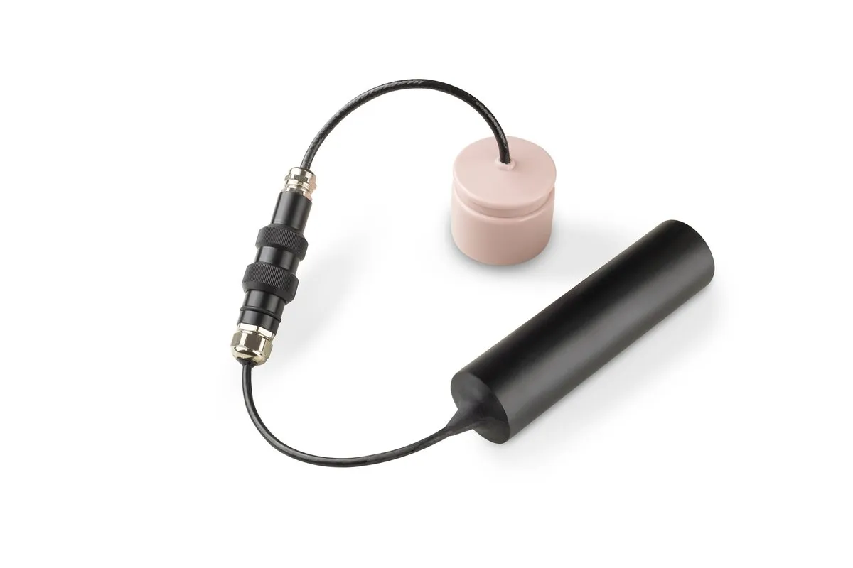
RWLT is a variant with up to 1,500 m between the buoys and a single beacon. The RWLT Pinger, 41×45 mm, is simply fixed mechanically to an ROV, AUV or diver, needs no integration with the carrier and works at depths of up to 300 m. Its position updates every 2 seconds, together with depth, water temperature and the pinger's battery voltage. The coordinate is obtained on the surface console, so there is no need to send it up from the vehicle.
uWave: communication, telemetry and control
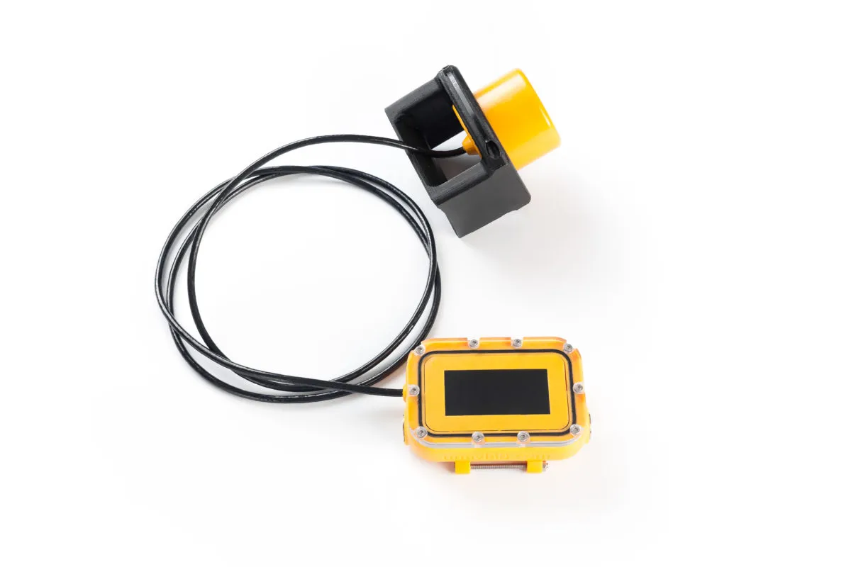
For commands, telemetry and arbitrary data between the vehicle, the operator and other devices, uWave Max hydroacoustic modems are used. Between uWave Max modems the link holds at up to 3,000 m, with data rates of 78–634 bit/s and up to 254 addressable subscribers. A transparent channel (connect the modem to a serial port) and a packet mode with guaranteed delivery are available. The 64×62 mm, 0.36 kg modem draws 0.33 W when receiving. Addressing and code-division of subscribers make it possible to build exchange inside a group of vehicles, including AUV swarm interaction.
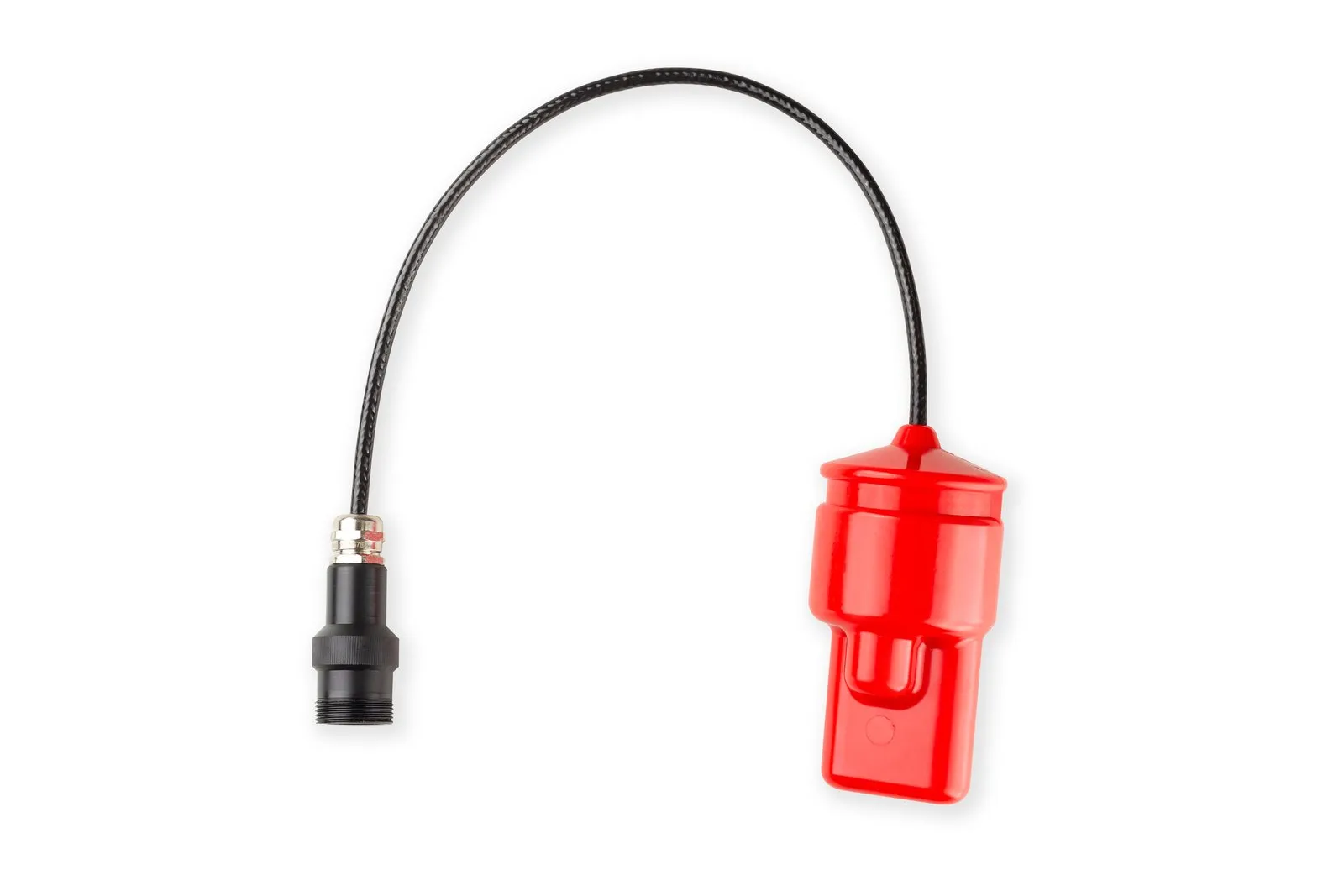
For embedding into your own housing there is the uWave Max OEM, a board with a hydroacoustic antenna. If you need both communication and navigation, the uWave USBL transmits data and at the same time determines the bearing and range to its counterpart. Configuration uses NMEA-like commands, and the uWaveLib (.NET) and uWave ALibs (Arduino) libraries are open. When positioning is not needed and only short commands must be sent, the RedGTR modem serves up to 25 subscribers in a network at ranges of up to 8,000 m.
A typical workflow
- Define the task: where the coordinate is needed — at the operator's console (Zima2) or on the vehicle itself (RedWave, RWLT) — how many vehicles and divers work in the water area, and at what depths and distances.
- Deploy the baseline. For Zima2, mount the antenna on a vessel pole or on the shore and the beacon on the vehicle. For RedWave and RWLT, place four buoys on the water (in our trials two people in a rowing boat did it in 24 minutes) and fit the receiver or pinger to the vehicle.
- Connect the software. RedWave and RWLT receivers output position over NMEA0183, so any mapping software will do; Zima2 has the AzimuthConsole console application (Windows, Linux), and RWLT has the open-source uNav application. Tracks can be saved, for example as KML.
- Add communication: a modem on the vehicle and one at the operator's station for commands and telemetry.
- Run the mission and return to any point using the saved coordinates.
Which to choose
Long-baseline systems (RedWave, RWLT) give the highest accuracy and geographic referencing, can position an unlimited number of objects and put the coordinate on the object itself. The ultra-short baseline Zima2 wins where fast deployment, a small kit and a coordinate at the tracking station matter. More on the system types is in the article Types of navigation systems and their applications; a field test with an ROV is described in Underwater GPS on a remotely operated vehicle.
All related solutions are in the catalog: navigation, data transmission and hydroacoustic antennas. For one-off jobs you can rent the equipment, and if you need non-standard functions or complex integration, comprehensive engineering can help. For towed objects there are high-precision positioning services.
Systems for this task

Devices for this task
RedNode
Zima2-R
RWLT Pinger
uWave Max
uWave USBL
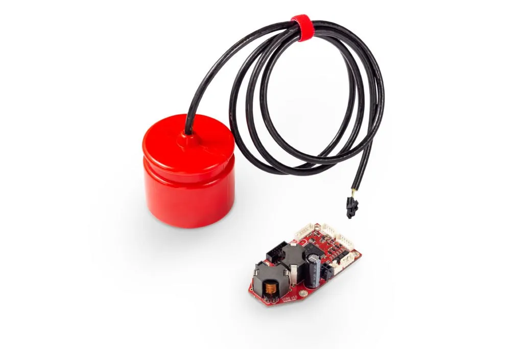
uWave Max OEM
Related articles
Underwater GPS on a remotely operated vehicle: practical experience
Underwater drones for offshore oil and gas inspection: benefits of using an ROV together with a navigation system
USBL or LBL: How to Choose an Underwater Positioning System
Underwater Acoustic Communication: How Data Travels Underwater
Types of navigation systems and their applications
Underwater Navigation Glossary: USBL, LBL, Pinger, Transponder and More Terms
Choose navigation and communication for your vehicle