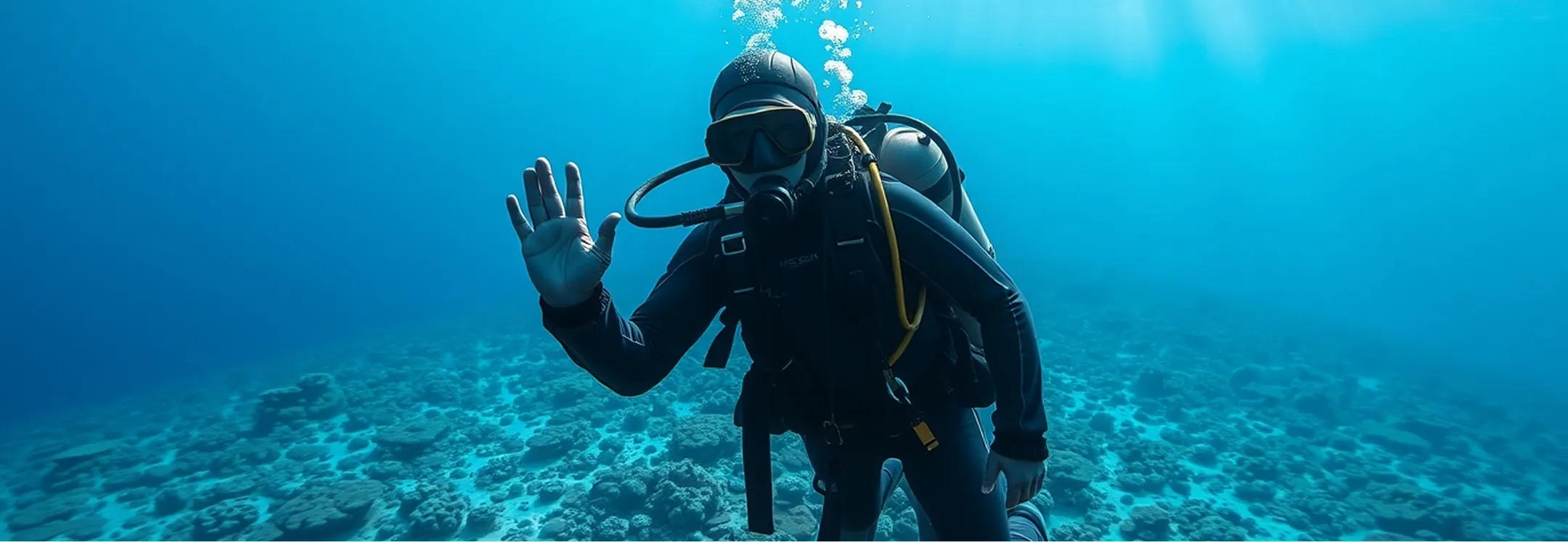
Equipment for underwater search and rescue
The task: search fast and never lose what you found
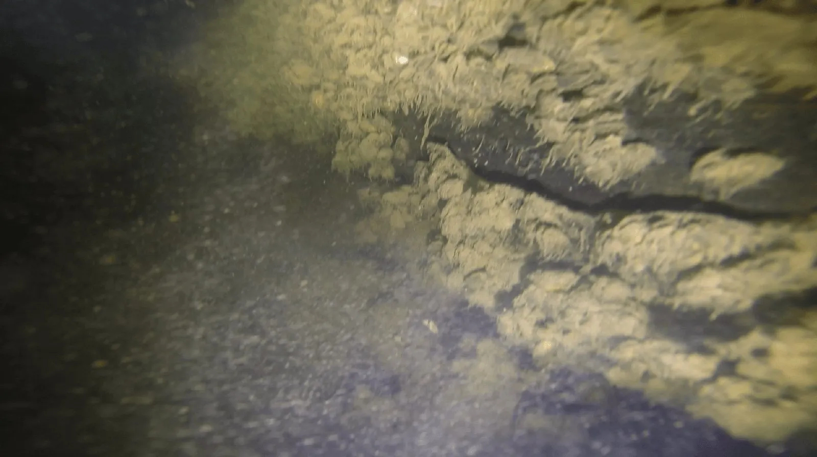
An underwater search comes down to three questions: where each diver or vehicle is, which part of the water area has already been covered, and how to get back to what was found. There is no satellite navigation underwater, and visibility can be very poor. In our trials, with 1–2 m of visibility, an ROV with a camera passed close to the presumed spot where an object had been sunk, but over an hour of recording the object never appeared in the frame — you cannot search by picture alone (read the trial report).
In a rescue operation, time can decide a human life, and the divers' own safety matters too. The person in charge needs to see where the divers are, talk to them, send search teams along different routes and keep the points already marked as interesting.
Which UCNL systems are used, and why
RedWave: one picture for every search team
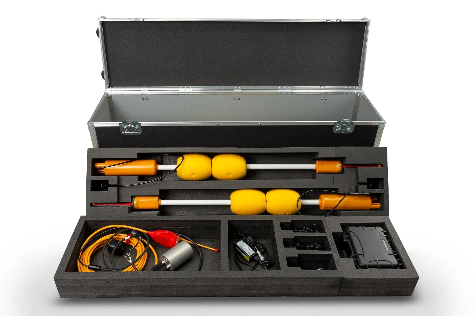
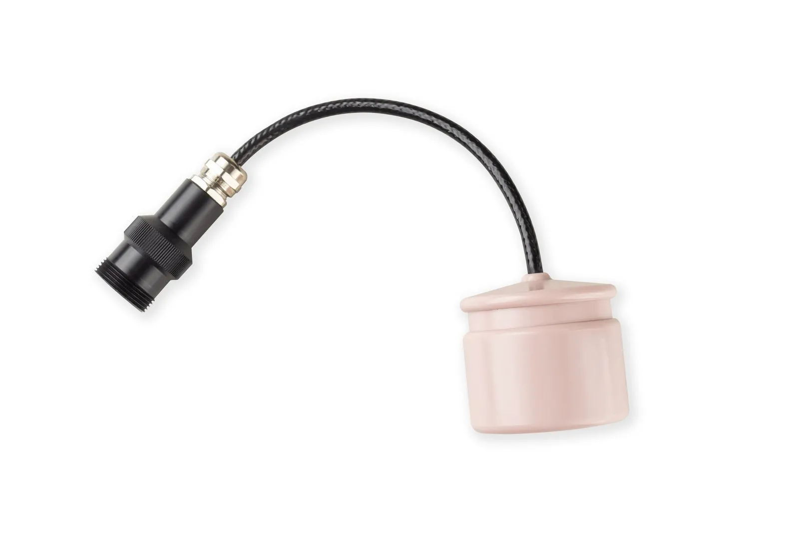
The RedWave navigation system serves an unlimited number of divers and vehicles at the same time and gives each of them coordinates in absolute geographic terms. Four RedBase buoys form a floating baseline; one person can place them from a small boat, and no calibration is needed. The working area is up to 700×700 m inside the buoy figure.
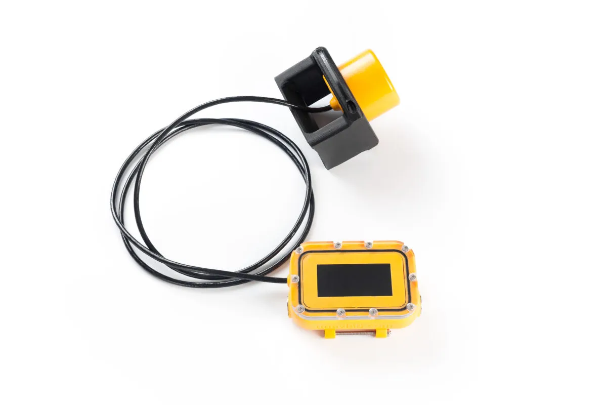
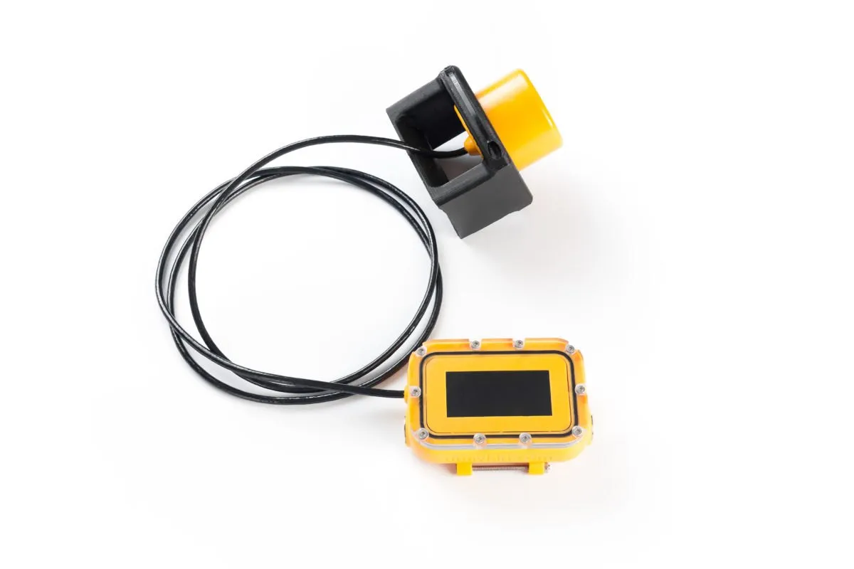
The diver sees the position on the RedNav navigator, worn on the wrist or on a diving tablet, with the antenna on the shoulder or the cylinder — no need to surface or to run an external GPS antenna on a cable. The navigator is acoustically passive, rated to 70 m, runs up to 8 hours, updates the position at 1 Hz and shows water temperature and depth. Before the dive, waypoints are loaded into it (up to 20), during the dive the diver can save up to 20 more, and afterwards the track — a 3D position stamped with UTC time — is uploaded to a computer and exported to KML and CSV. This makes it possible to plan different routes for different search teams in advance, mark points of interest and continue from the right place next time. Vehicles in the same baseline use the RedNode receiver.
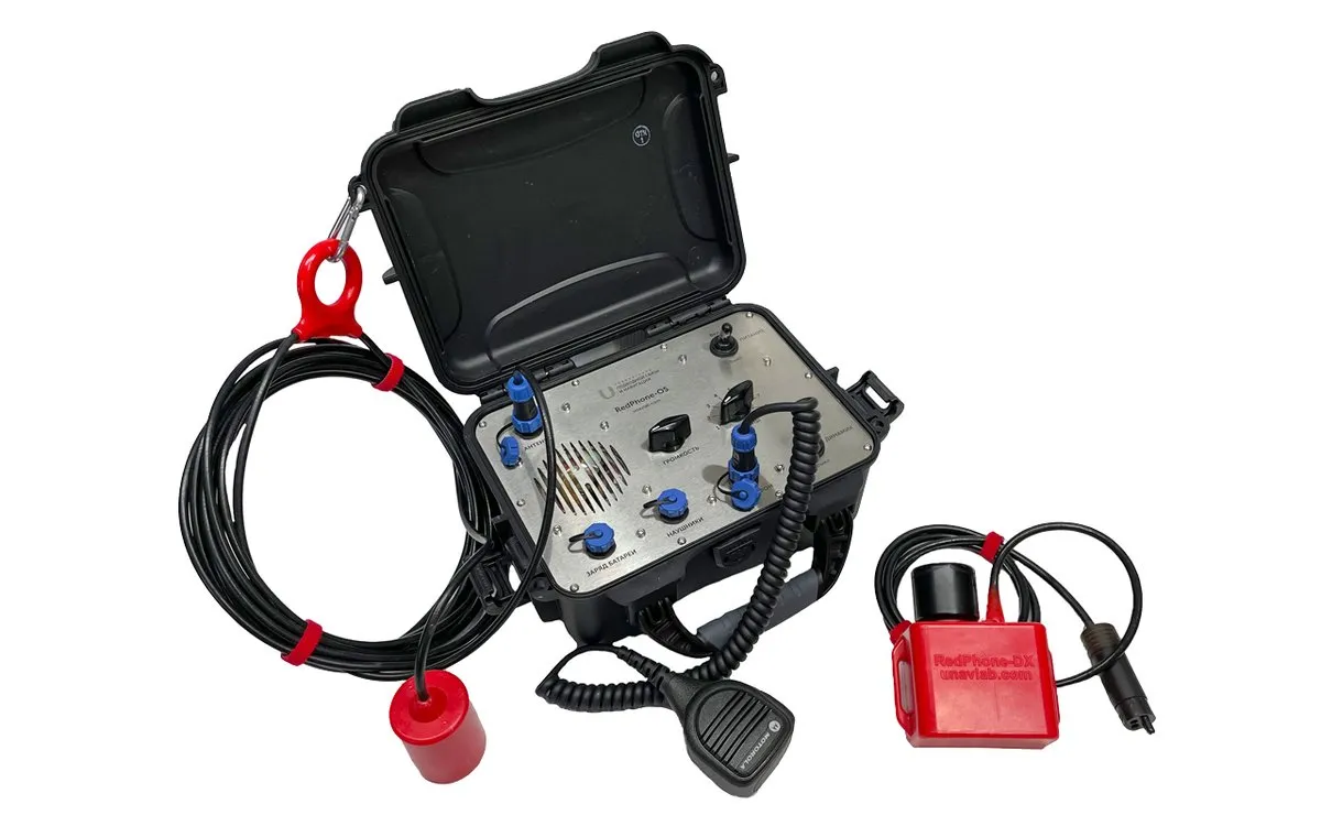
RedPhone: voice communication with the surface
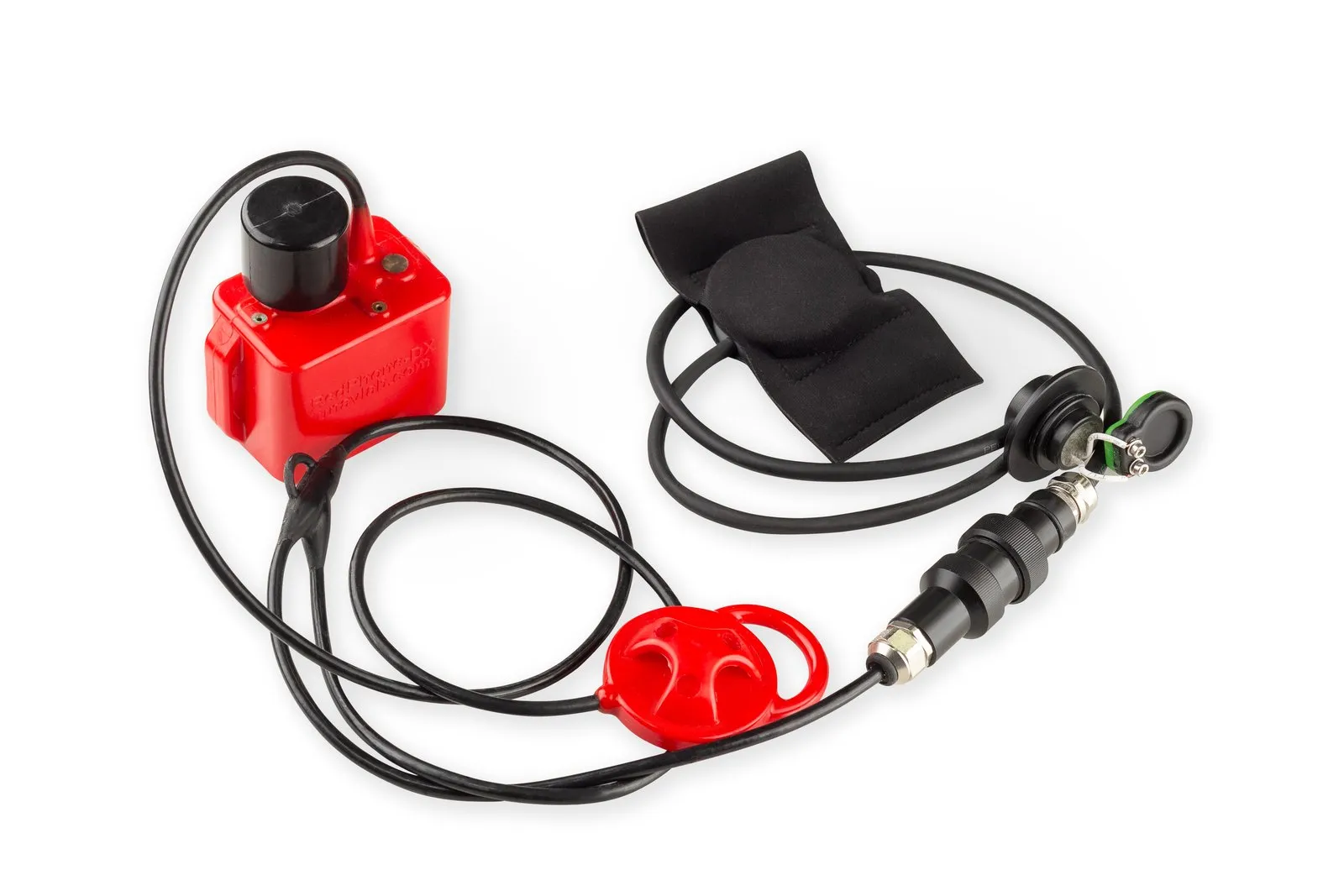
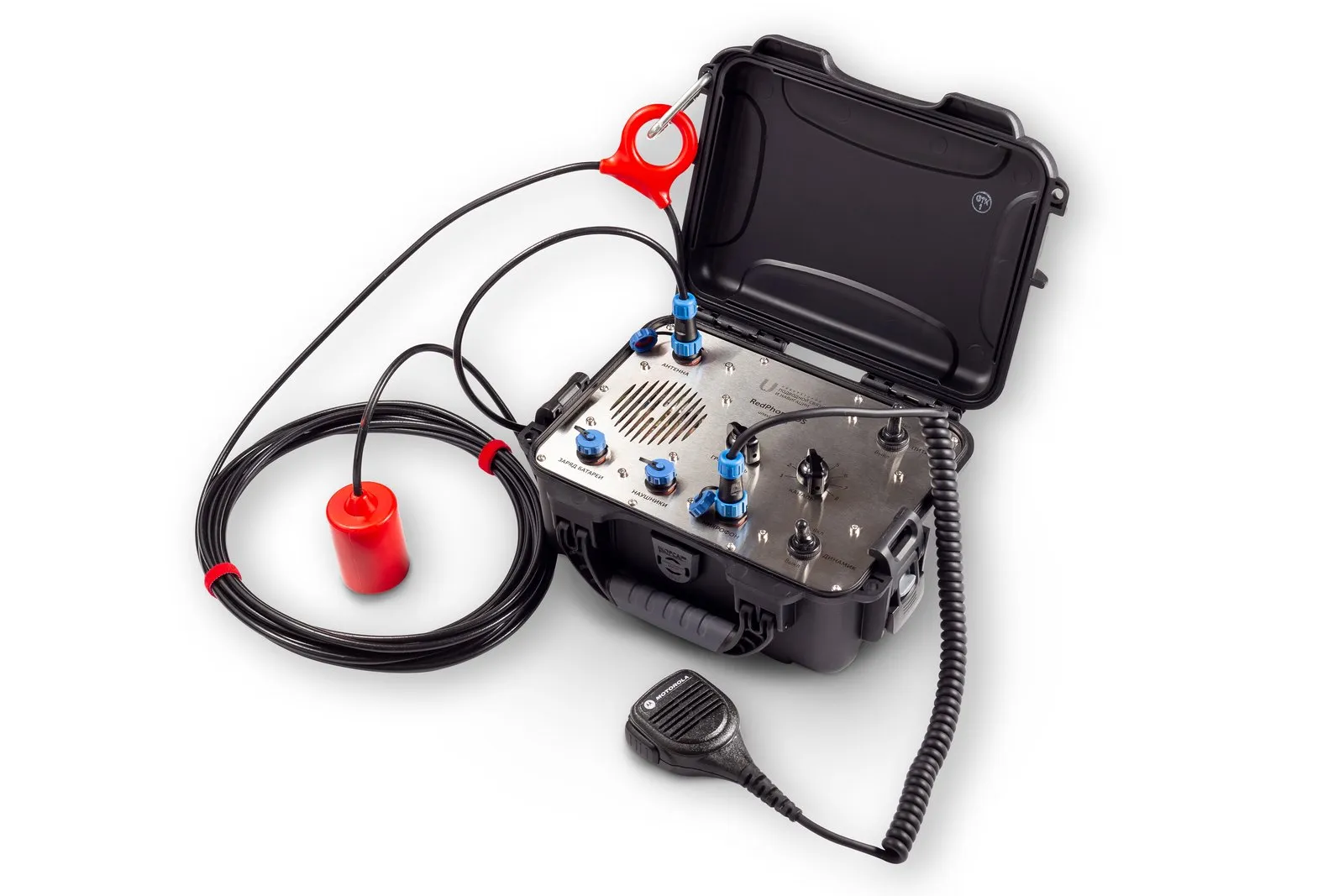
RedPhone is a wireless diver communication station. The RedPhone-DX diver unit switches on automatically when submerged, works in Push-to-Talk mode, weighs 0.6 kg and is rated to 100 m; acoustic range is up to 1,000 m and there are 8 channels. It runs up to 20 hours receiving only and up to 8 hours in mixed mode. The RedPhone-OS surface station is built into an IP67 case and runs up to 30 hours receiving only. The stations are compatible with most analogues (OTS, Oceanreef and others).
RWLT: diver tracking from the surface
In RedWave the coordinate is computed at the diver. When the position must be visible at the tracking station, RWLT is used: the RedPhone-DX diver station acts as a pinger, and the position is fixed the moment the diver releases the transmit button. The open-source uTrackDiver application shows up to 255 divers. The distance between the buoys is up to 1,500 m, so the system suits large water areas. For an ROV or a diver without voice communication there is the RWLT Pinger, which updates its position every 2 seconds and reports depth and water temperature. UCNL's documentation lists RWLT for search and monitoring tasks.
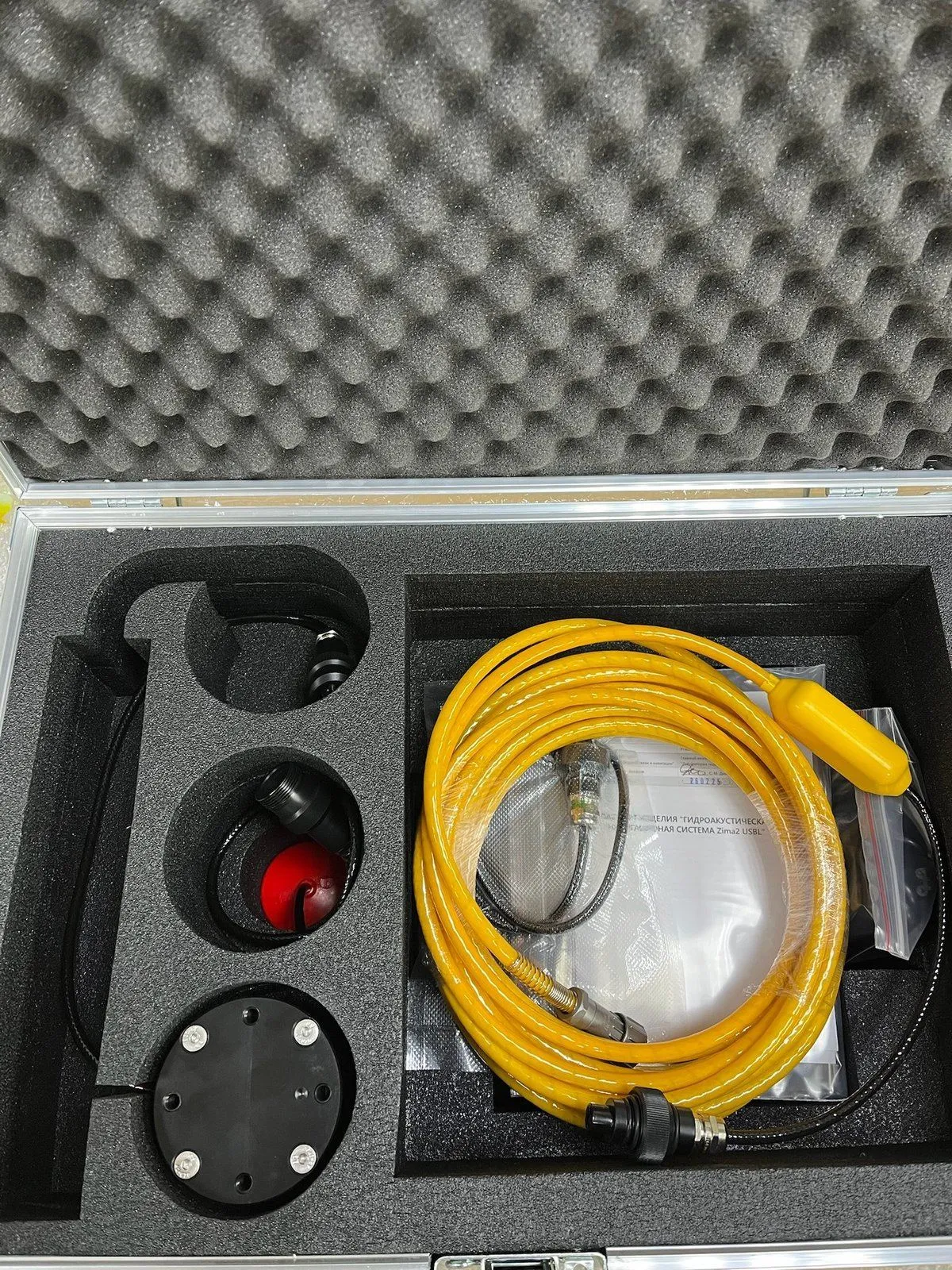
Zima2: vehicles and teams at longer distances
Zima2 is used, among other things, for search operations: operating range is up to 3,000 m, one antenna tracks up to 16 objects, and the coordinate appears at the tracking station where the antenna stands. Versions for depths of 350 m, 500 m and 1 km are available. One person deploys the system in under 20 minutes. In a quay inspection, an ROV with side-scan sonar and Zima2 covered up to 500 m² of water area in a shift while saving the coordinates of the important points.
A typical workflow
- Mark out the water area and assign routes to divers and vehicles.
- Deploy the baseline: four RedBase or RWLT GIB buoys, or a Zima2 antenna on a vessel or on the shore.
- Issue RedNav or RedPhone-DX to the divers, fit RedNode or beacons to the vehicles and load the waypoints.
- Work along the tracks: the person in charge talks to the divers through RedPhone-OS and, with RWLT or Zima2, sees their positions on a map.
- After the dive, upload the tracks and saved points, mark the areas already covered and return to whatever was found using the coordinates.
Where to start
The general logic of the systems and how they apply to search is described in the article Applications of our devices. Equipment can be chosen in the catalog: navigation and telephony. For a one-off search you can rent equipment: RedNav and Zima2 are available on standard terms, RedPhone by special arrangement. If you need non-standard integration, ask about comprehensive engineering.
Systems for this task

Related articles
Applications of our devices
Underwater GPS on a remotely operated vehicle: practical experience
How Divers Communicate Underwater: Hand Signals, Wired and Wireless Acoustic Links
Underwater Navigation: How USBL, LBL and iLBL Work and How They Differ
Underwater Navigation Glossary: USBL, LBL, Pinger, Transponder and More Terms
USBL or LBL: How to Choose an Underwater Positioning System
Run an underwater search with precise navigation