RWLT
Four times the coverage area of RedWave. Coordinates are available at the surface console. Just one responder beacon — yet higher accuracy. Real-time 3D coordinates: simply attach a pinger to the tracked object (battery-powered and mains-powered versions are available), and you can monitor the object’s underwater position from the surface.
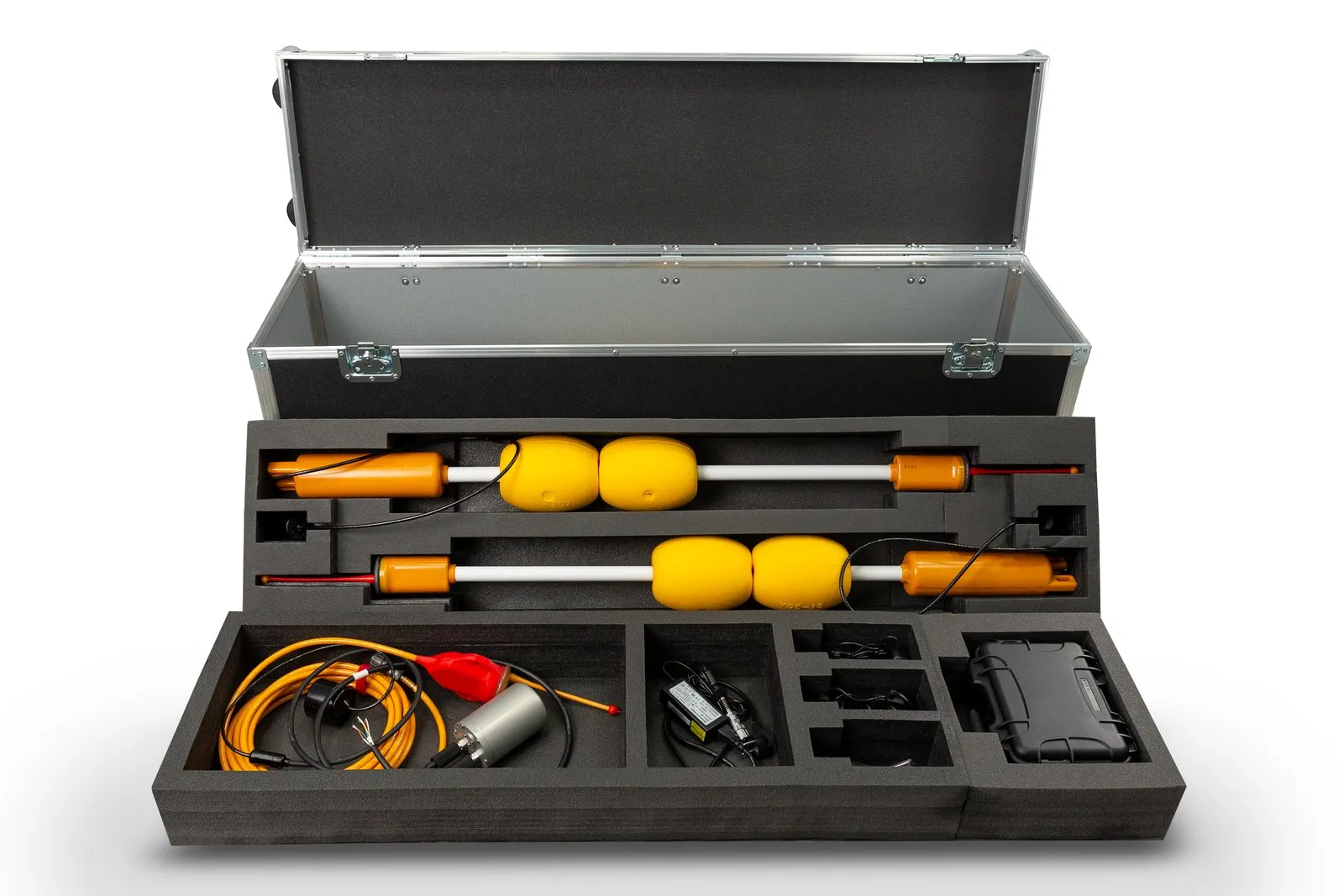
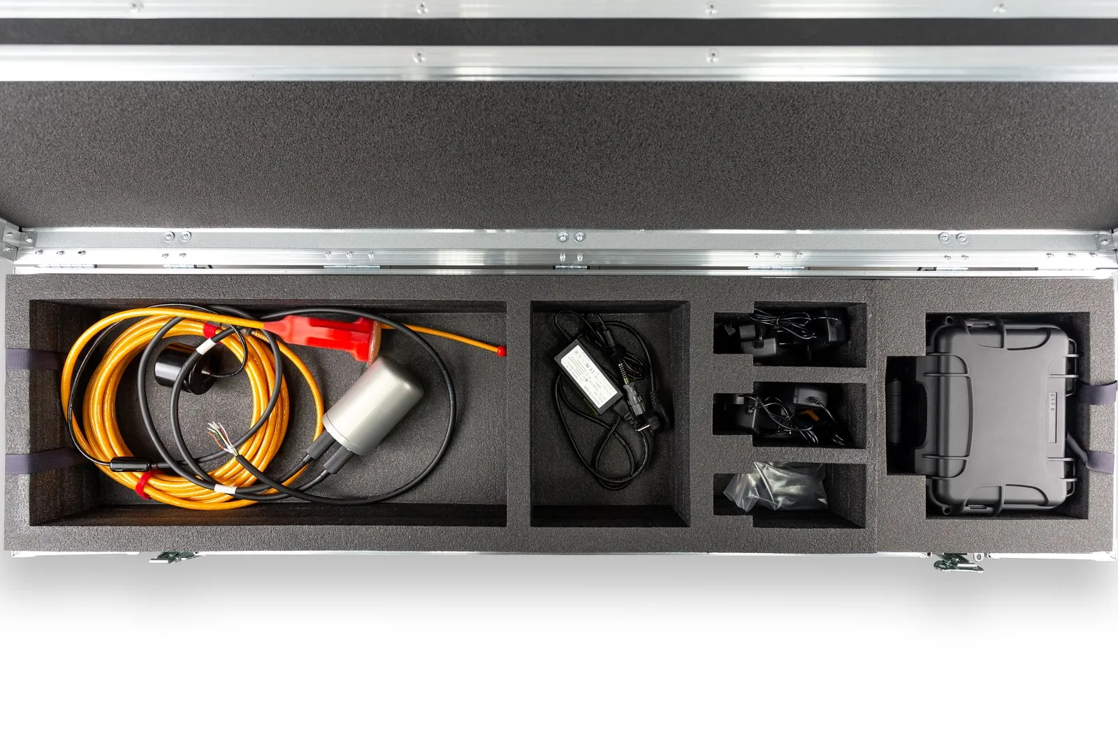
Tell us about your task and we will put together a configuration
- Minimum navigation base
- 4 buoys
- Distance between buoys
- 30–1500 m
- Pinger position update
- 2 s
- Divers with RedPhone-DX
- up to 255
Advantages
- Large coverage area
- Accuracy barely depends on where the pinger is within the work area
- Coordinates “up top” — no need to bring the position up from the underwater object
- Our most accurate system
System composition
 Back to catalog
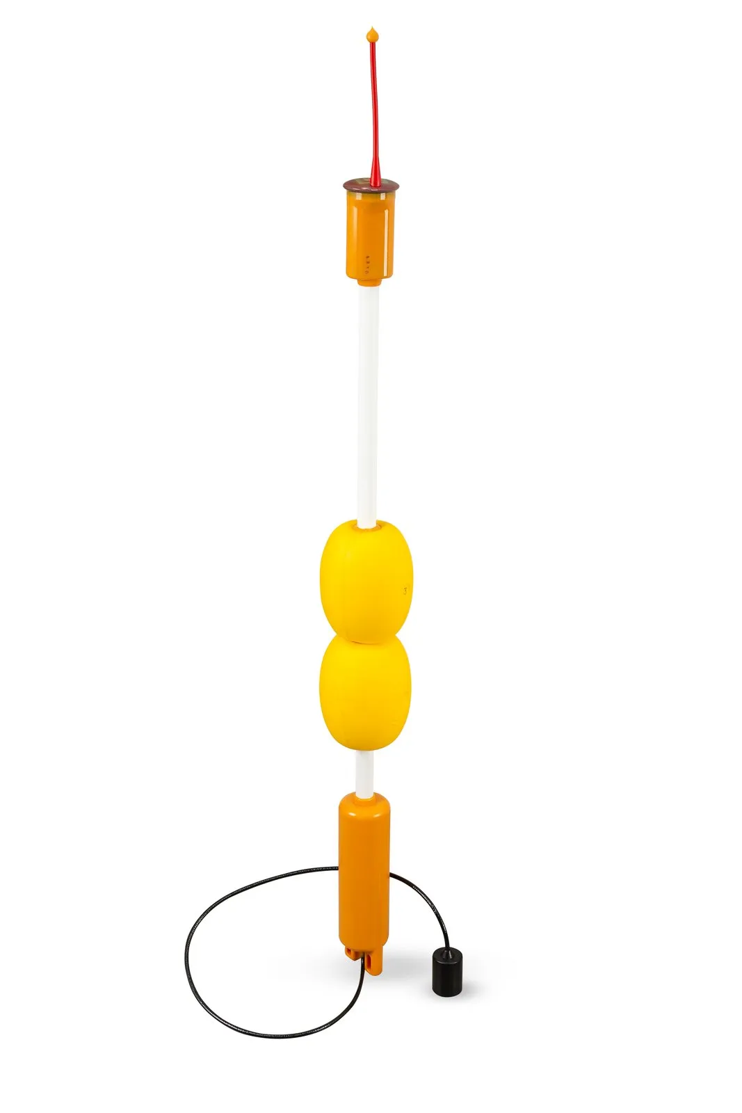 Device
RWLT GIB
Navigation buoy of the RWLT system
Learn more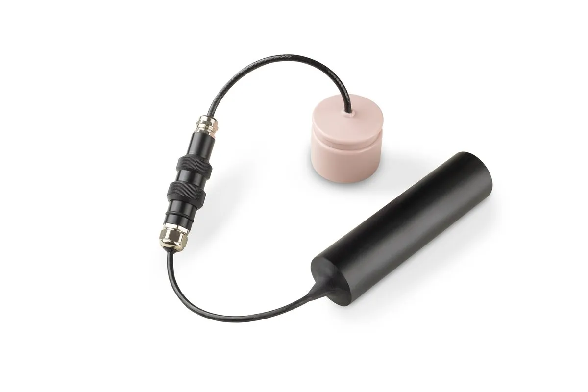 Device
RWLT Pinger
Responder beacon of the RWLT system
Learn more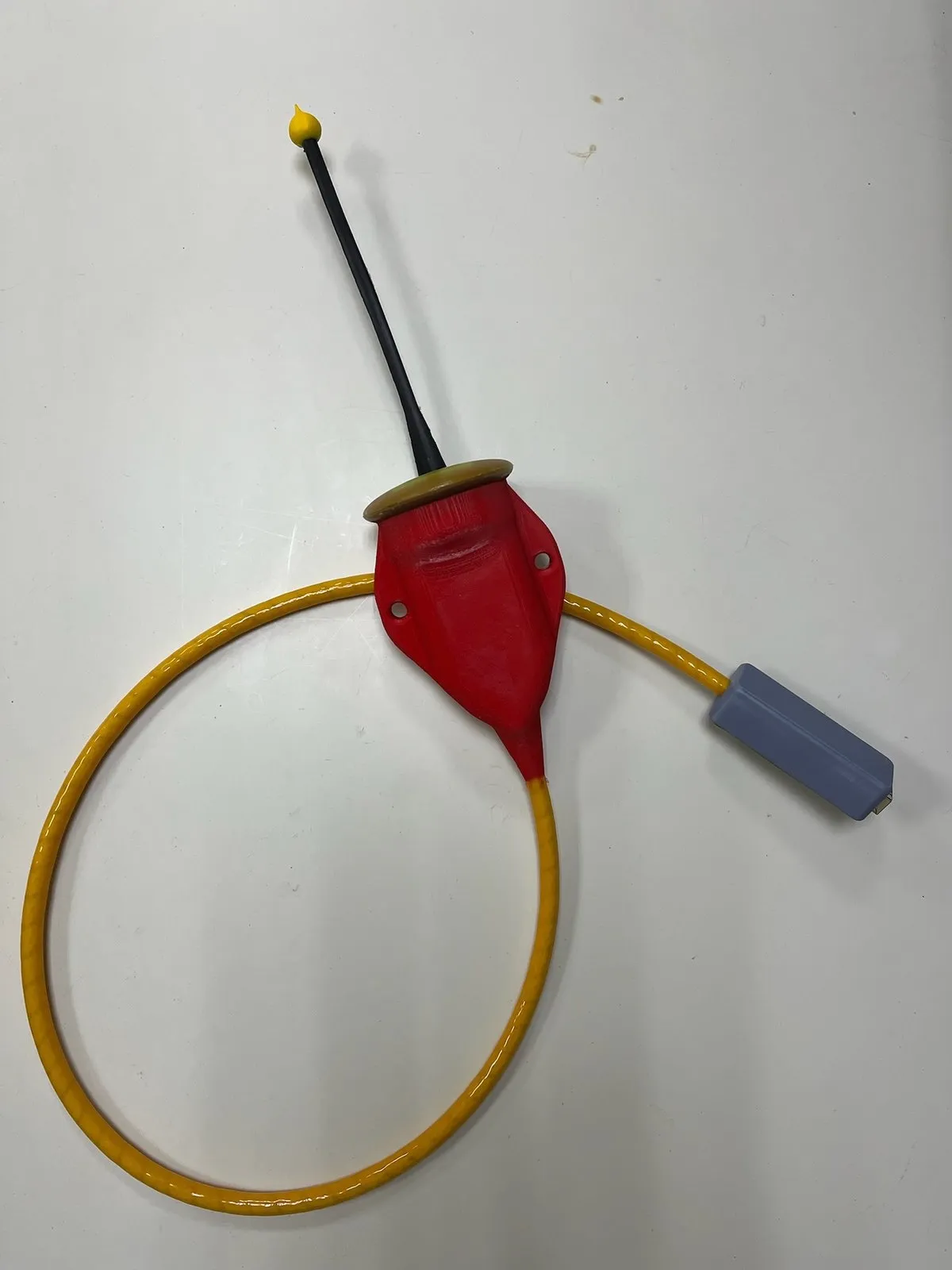 Component
uNav RWLT RF Dongle
IP68 radio receiver: picks up RWLT GIB buoy signals and determines the pinger position
Documentation Software
uNav
- Freeware
- Open source
Application for the uNav RWLT RF Dongle: pinger position on a map and GNSS receiver emulation
User manual
The minimum system composition is four RWLT GIB hydroacoustic buoys and one transmitting device
If the diver needs navigation data along with voice communication, the RedPhone-DX diver telephone station is used as the transmitting device. The diver's geoposition is determined the moment they release the PTT button, i.e. when they finish a voice transmission
If you need to locate a remotely operated vehicle (ROV) or a diver without voice communication, the RWLT Pinger beacon is used. The pinger operates autonomously, and the geoposition of the object it is mounted on is updated every two seconds
The minimum set is four RWLT GIB buoys and a transmitting device: the RedPhone-DX diver station if voice communication is needed, or the RWLT Pinger beacon.
Tell us about your task and we will put together a configuration
System details
01Navigation and voice communication
A distinctive feature of the system is that it can use the RedPhone-DX diver telephone station as a pinger, combining two-way voice communication and navigation.
When working with a pinger, the uNav RWLT RF Dongle navigation receiver emulates the protocol of standard GNSS receivers, and can be connected to any software that displays a GNSS receiver's position on a map, such as Google Earth, SAS.Planet, etc.
02When working with a pinger
Simply connect the navigation receiver to any chartplotter that supports NMEA0183 RMC and GGA messages. In this mode you get:
- the geographic position of the object the pinger is mounted on
- the object's course
The open-source uNav application additionally shows:
- the positions of the navigation buoys and the charge of their built-in power sources
- the course and range to a reference point: one of the four buoys, the built-in uNav RWLT RF Dongle navigation receiver, or a point with arbitrary coordinates
- water temperature
- the pinger's supply voltage
03When working with RedPhone-DX diver stations
This requires the open-source uTrackDiver application. It shows the positions of up to 255 divers, determined at the end of each voice transmission from the diver.
04Distinctive features
- Operation in absolute geographic coordinates
- A floating base of four hydroacoustic buoys can track both the RWLT Pinger beacon and the RedPhone-DX diver telephone station
- No preliminary setup or calibration of the system or its components is required
- No data link is required between the object and the pinger: the pinger is mechanically mounted on the underwater carrier and only needs power (which can be supplied from our battery)
- The calculated position of the underwater object is passed to third-party software over a serial port using the NMEA0183 protocol
- Recording of the underwater object's movement track
05Geometric limitations
- From each buoy to every other buoy there should be no more than 1500 meters and no less than 30 meters
- The buoys should be arranged in a convex quadrangle so that its sides are approximately equal and differ by no more than 2 times
- The maximum diving depth of the pinger should not exceed the dimensions of the navigation base
- The greatest accuracy of the system is achieved within the buoy figure, and operation should always begin within this figure. Going beyond the figure is possible, but accuracy may decrease significantly as the positioned object moves away from the buoy figure
Submit Your Inquiry