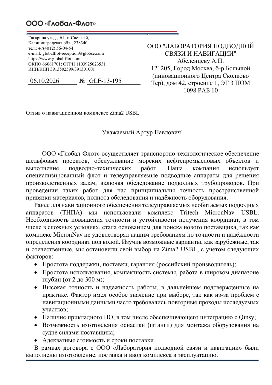
Global-Flot LLC provides transport and technical support for offshore projects, maintains offshore oil and gas facilities and carries out underwater engineering work. Our company uses a specialised fleet and remotely operated vehicles for its operational tasks, including subsea pipeline inspection. In this work, accurate georeferencing of survey data, complete survey coverage and reliable equipment are essential to us.
We previously used the Tritech MicronNav USBL system to navigate our remotely operated vehicles (ROVs). The need for more accurate and stable positioning, including in difficult conditions, led us to look for a new supplier, as MicronNav did not meet our requirements for the accuracy and reliability of underwater positioning. Having studied the available options, both foreign and Russian, we chose Zima2 USBL for the following reasons:
- Easy support, supply and warranty (a Russian manufacturer);
- Ease of use, a compact system and operation over a wide depth range (from 2 to 300 m);
- High accuracy and reliability, later confirmed in practice. This factor was especially important to our choice, as problems with navigation data often forced us to make repeat passes over survey sections;
- Application software, including integration with Qinsy;
- The supplier's ability to manufacture mounting hardware (a pole) for installing the equipment on the vessel;
- Reasonable cost and delivery time.
Under our contract with the Underwater Communication and Navigation Laboratory, the system was manufactured, delivered and commissioned.
In our operating experience, switching to Zima2 has improved the accuracy of our navigation data by an order of magnitude and made it substantially more stable. The repeat passes previously caused by navigation data problems are no longer needed at all. This lets us use vessel time, our specialists' time and ROV operating hours more efficiently, and makes project schedules more predictable.
Post-processing of survey data and reporting have become simpler. The software lets us add the vehicle's position (latitude, longitude and depth) to the survey results, referenced to time. This referencing helps us analyse the course of a survey in more detail and support the conclusions of our reports with objective data.
The compact size of the system and the ease of working with its software let us move individual system components between different ROVs and vessels. This allows us to choose the right platform for each task and to use our existing equipment flexibly when planning work.
We highly value the support we receive for the system in industrial operation. The supplier's team promptly makes the necessary software improvements and resolves any issues together with our specialists.
 All reviews