Zima2 ultra-short baseline navigation system
Easy to deploy, works in shallow water, and provides not only positioning but also telemetry exchange. High horizontal angle accuracy, comparable to far more expensive systems. Direct depth measurement completely eliminates errors in depth and vertical angle.
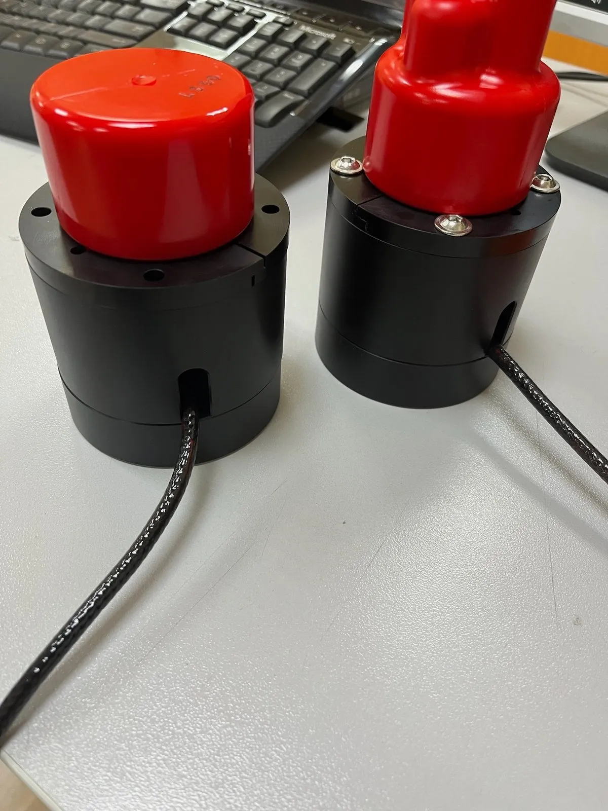
Tell us about your task and we will put together a configuration
- Operating range
- up to 3,000 m
- Objects tracked by one antenna
- up to 16
- Telecontrol commands to underwater objects
- up to 32
- Direction-finding antenna weight
- 0.44 kg
- Minimum positioning time
- under 1 s
Advantages
- Absolute and relative positioning of objects
- Long range of up to 3,000 m
- Tracking the position of up to 16 objects
- Easy to use, with no complex setup required
- Telecontrol: send up to 32 commands to underwater objects
- Straightforward integration with third-party software and heading/attitude systems
- Compact: small size and light weight
- Can be used to track any underwater object — robots, divers, measuring instruments, and more
System composition
 Back to catalog
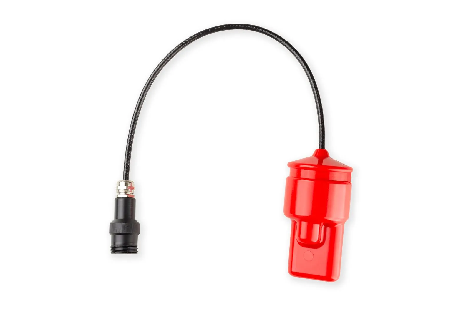 Device
Zima2-B
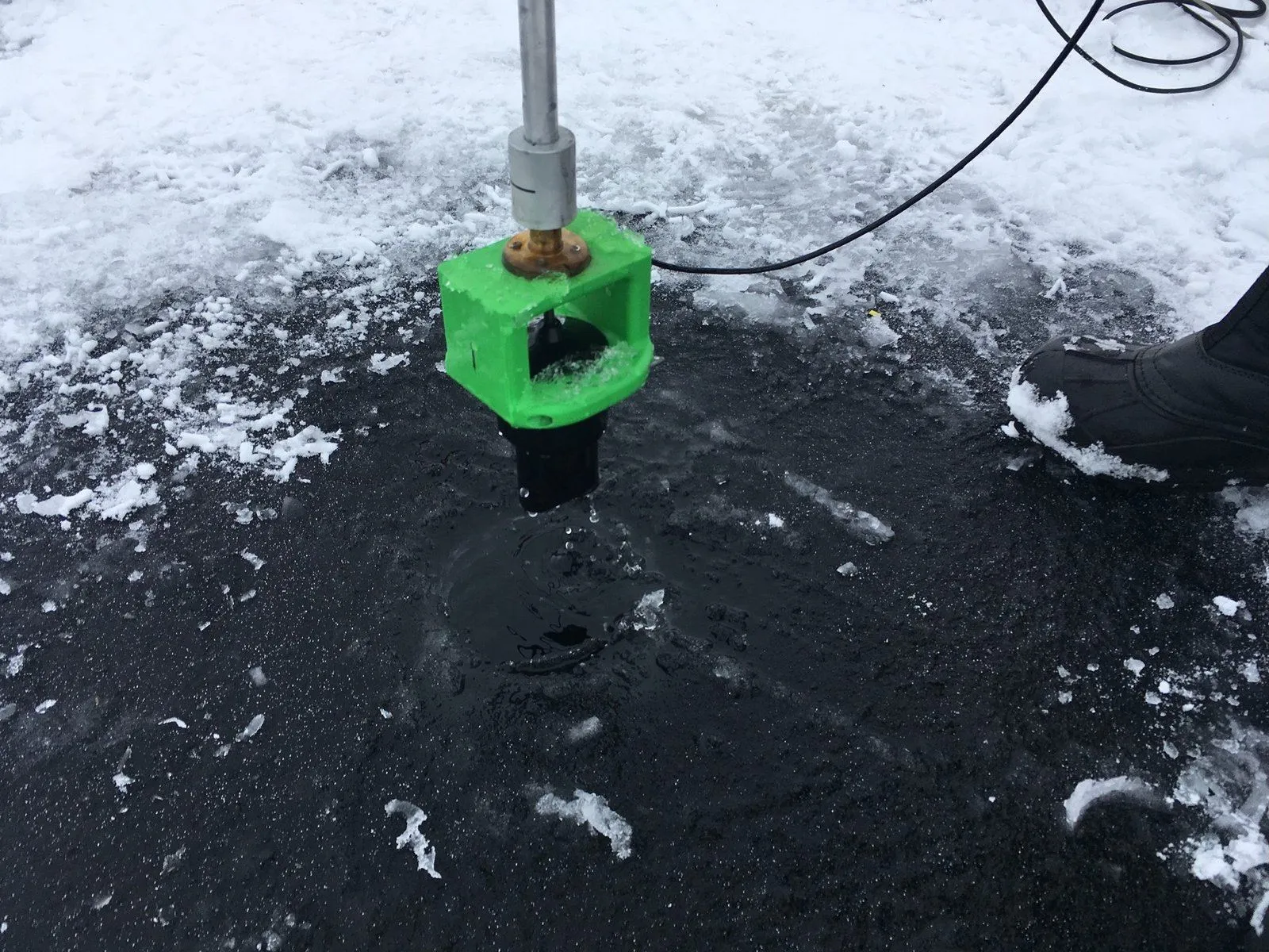
Direction-finding station of the Zima2 USBL system
Learn more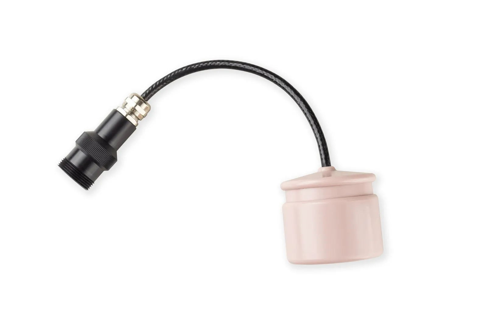 Device
Zima2-R
Responder beacon of the Zima2 USBL system
Learn more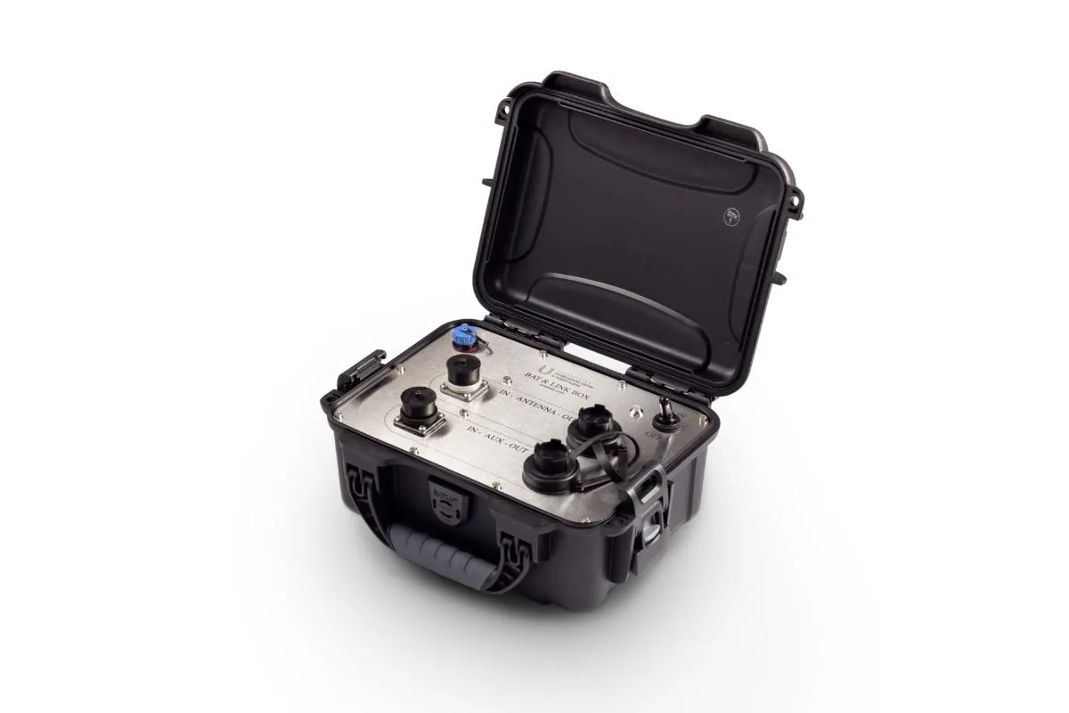 Device
Bat&Link Box
Power supply and switching unit of the Zima2 USBL system
Learn more Software
AzimuthConsole
- Freeware
- Open source
Zima2 host application: device setup, map view and data output. Windows and Linux
User manual
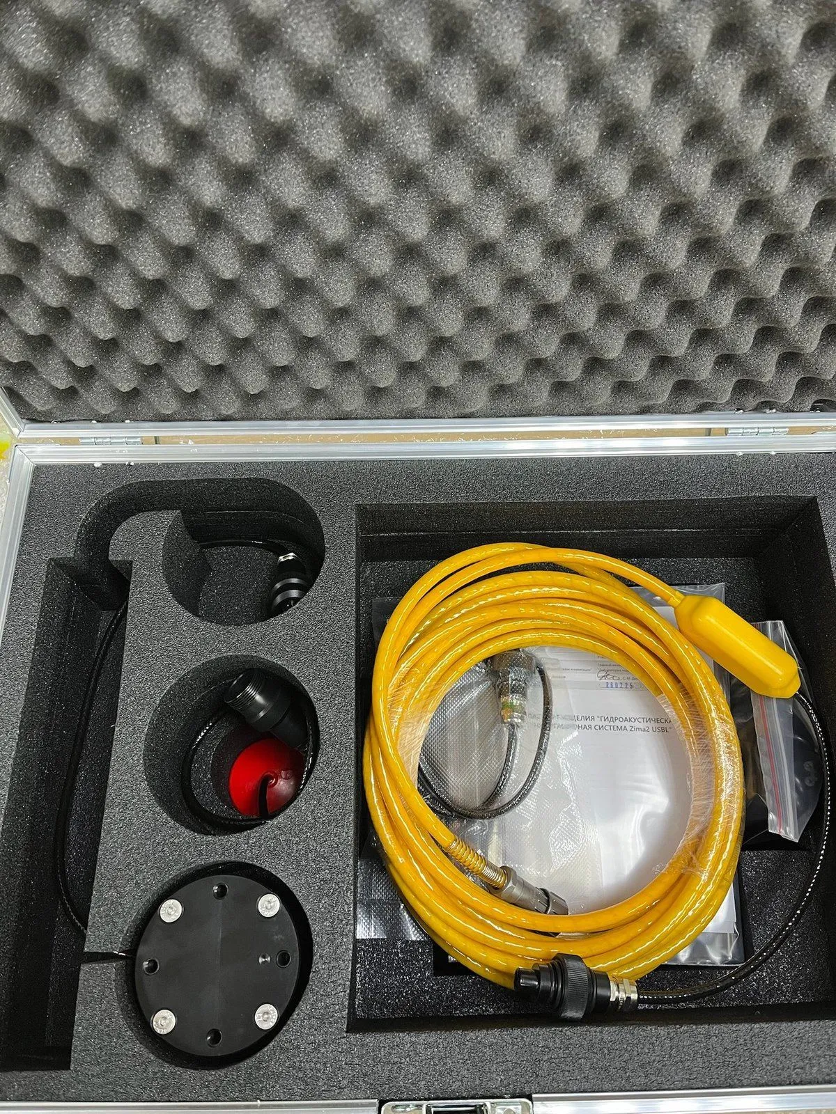
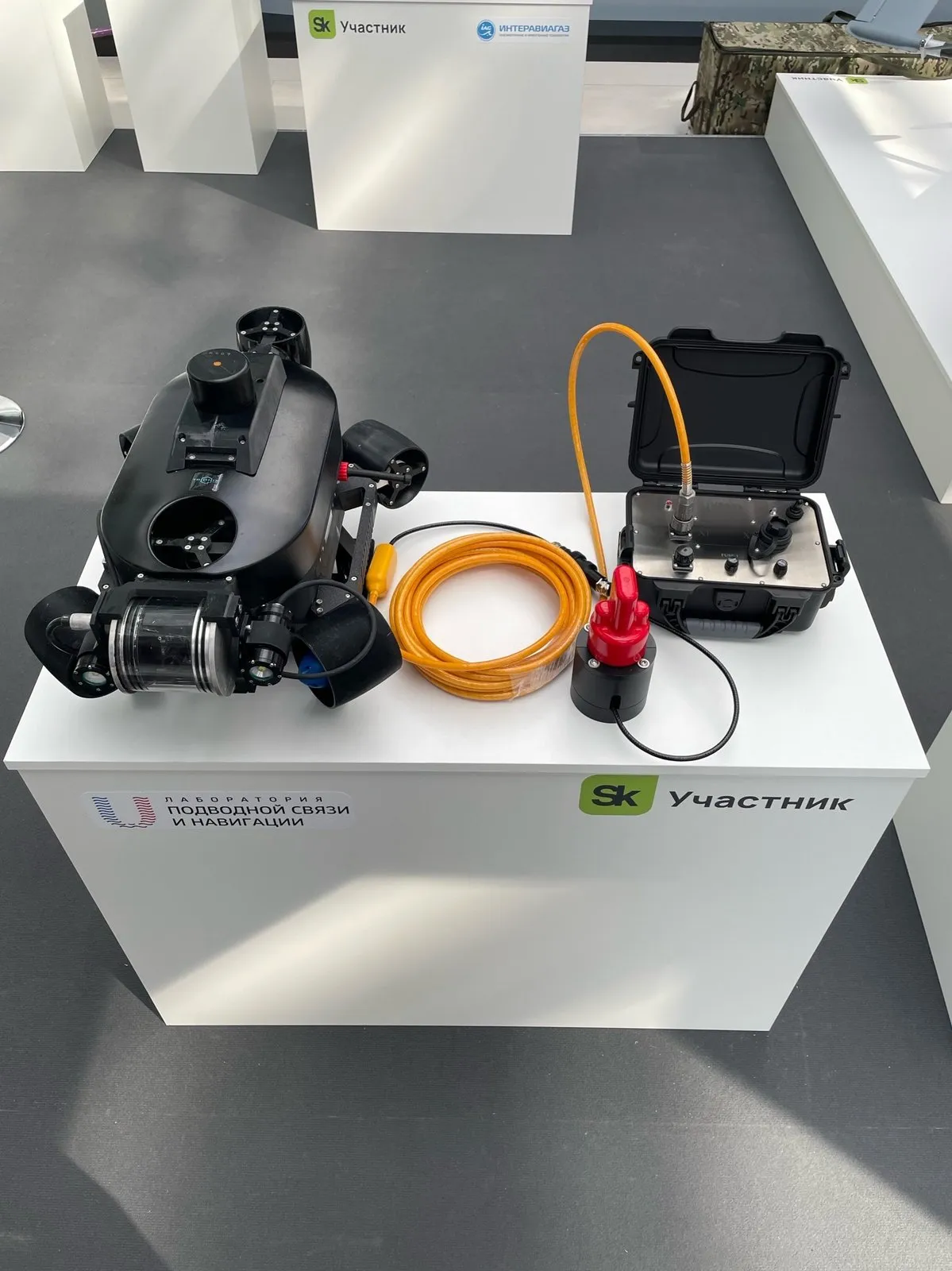
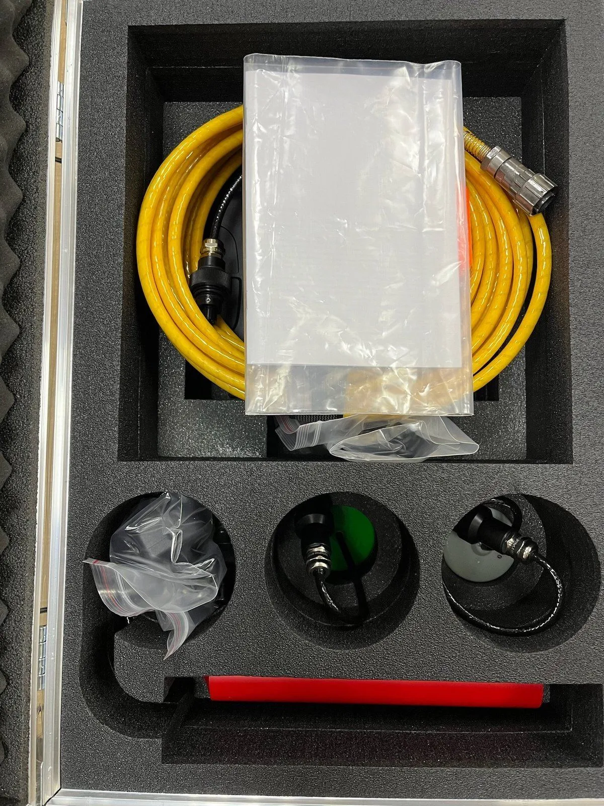
Basic delivery set
Zima2-B base station with a cable of 10 m or longer
Zima2-R responder-beacon
Bat & Link Box power supply and linking station
Case for storing and transporting the system
Configuration options
Responder-beacons (in a standalone version and for mounting on a carrier)
A heading/attitude system
A pole for mounting the direction-finding antenna and the heading/attitude system (including design and manufacture for a specific vessel)
A longer direction-finding antenna cable
Versions for greater depths are available: 350 m, 500 m, 1 km
The Zima2-R responder-beacon is available as part of the Zima2 system, in the quantity and version you need. The system includes the Zima2-B direction-finding antenna and the Bat & Link Box power supply and linking station.
Tell us about your task and we will put together a configuration
System details
01Easy to prepare for operation
One person can deploy the system in under 20 minutes
02Easy connection and integration
The system has its own autonomous power supply and connects to virtually any PC over USB. It is compatible with most heading and attitude systems available on the market. Connect it and start working with no additional setup!
Free software provides the basic functions for working with the system, as well as data output to advanced packages such as QINSy and HYPACK.
03How the Zima2 system is used
Zima2 is used for hydrographic surveys, search operations, underwater construction, diver training, and other underwater work that requires monitoring the position of a tool or a person underwater, including at depths of up to 1 kilometre.
- Locate beacons with the open host software or use the software you already know
- Save object tracks in Google KML format
- Connect a GNSS receiver and a compass to get absolute coordinates and record object tracks
- Send telecontrol commands to the beacons and receive telemetry data
Submit Your Inquiry